|
|
Michigan City Municipal Airport |
| Michigan City Municipal Airport |
| IATA: MGC â ICAO: KMGC â FAA LID: MGC |
| Summary |
| Airport type |
Public |
| Owner |
Michigan City Board of Aviation Commissioners |
| Serves |
Michigan City, Indiana |
| Elevation AMSL |
655 ft / 200 m |
| Coordinates |
41°42â²12â³N 086°49â²16â³W / 41.70333°N 86.82111°W / 41.70333; -86.82111 |
| Website |
www.MGCairport.com |
| Runways |
| Direction |
Length |
Surface |
| ft |
m |
| 2/20 |
4,100 |
1,250 |
Asphalt |
| Statistics (2005) |
| Aircraft operations |
7,783 |
| Based aircraft |
50 |
| Source: Federal Aviation Administration |
Michigan City Municipal Airport (IATA: MGC, ICAO: KMGC, FAA LID: MGC) is a public use airport located three nautical miles (6 km) east of the central business district of Michigan City, in LaPorte County, Indiana, United States. The airport is publicly owned by the Michigan City Board of Aviation Commissioners. Facilities and aircraft
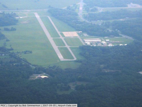
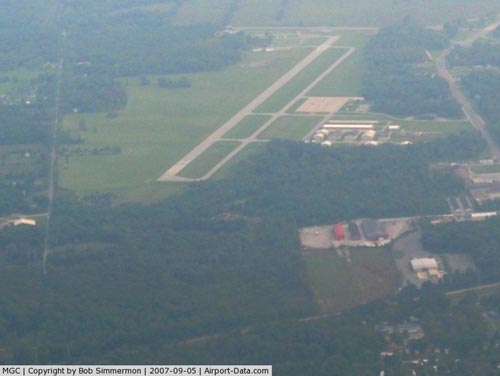
Michigan City Municipal Airport covers an area of 285 acres (115 ha) at an elevation of 655 feet (200 m) above mean sea level. It has one paved runway designated 2/20 with an asphalt surface measuring 4,100 by 75 feet (1,250 x 23 m).
For the 12-month period ending December 31, 2005, the airport had 7,783 aircraft operations, an average of 21 per day: 90% general aviation and 10% air taxi. At that time there were 50 aircraft based at this airport: 78% single-engine, 14% multi-engine, 2% jet, 2% helicopter and 4% glider.
Awards
Michigan City Municipal Airport received the 2007 Airport of the Year Award. This award is given jointly by the Aviation Association of Indiana (AAI), the Aircraft Owners and Pilots Association (AOPA), the Federal Aviation Administration (FAA), the Indiana Department of Transportation â Office of Aviation, and aviation industry sponsors to annually recognize an outstanding airport.
The above content comes from Wikipedia and is published under free licenses – click here to read more.
|
 |
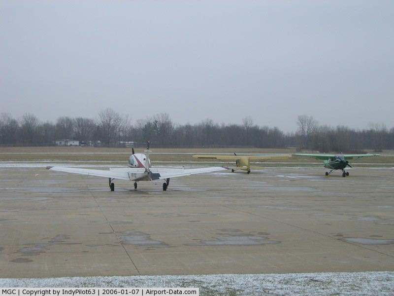
(Click on the photo to enlarge) |
|
 |
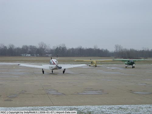
(Click on the photo to enlarge) |
|
 |
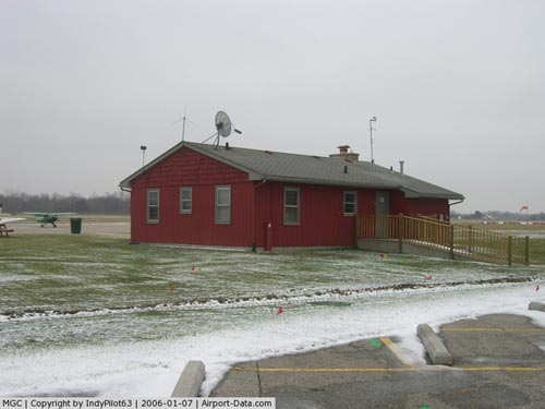
(Click on the photo to enlarge) |
|
 |
(Click on the photo to enlarge) |
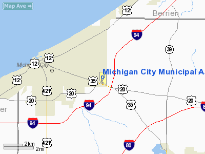
Location
& QuickFacts
|
FAA
Information Effective: |
2008-06-05 |
|
Airport
Identifier: |
MGC |
|
Airport
Status: |
Operational |
|
Longitude/Latitude: |
086-49-16.4700W/41-42-11.9410N
-86.821242/41.703317 (Estimated) |
|
Elevation: |
655 ft / 199.64 m (Surveyed) |
|
Land: |
285 acres |
|
From nearest
city: |
3 nautical miles E of Michigan City, IN |
|
Location: |
La Porte County, IN |
|
Magnetic
Variation: |
03W (2000) |
Owner
& Manager
|
Ownership: |
Publicly
owned |
|
Owner: |
Michigan City Boac
TOM RINGO, PRES. |
|
Address: |
1300 N Hwy 212
Michigan City, IN 46360 |
|
Phone
number: |
219-872-0121 |
|
Manager: |
David Wills |
|
Address: |
1300 N Highway 212
Michigan City, IN 46360 |
|
Phone
number: |
219-872-0121
EMERGENCY PHONE NUMBER - 219-898-1277 |
Airport
Operations and Facilities
|
Airport
Use: |
Open
to public |
|
Wind indicator: |
Yes |
|
Segmented
Circle: |
Yes |
|
Control
Tower: |
No |
|
Lighting
Schedule: |
DUSK-DAWN
ACTVT MIRL RY 02/20 & REIL RY 20 - CTAF. |
|
Beacon
Color: |
Clear-Green (lighted land airport) |
|
Landing
fee charge: |
No |
|
Sectional
chart: |
Chicago |
|
Region: |
AGL - Great Lakes |
|
Boundary
ARTCC: |
ZAU - Chicago |
|
Tie-in
FSS: |
HUF - Terre Haute |
|
FSS on
Airport: |
No |
|
FSS Toll
Free: |
1-800-WX-BRIEF |
|
NOTAMs
Facility: |
HUF (NOTAM-d service avaliable) |
|
Federal
Agreements: |
NGY |
Airport Communications
|
CTAF: |
122.700 |
|
Unicom: |
122.700
|
Airport
Services
|
Fuel
available: |
100LLA |
|
Bottled
Oxygen: |
NONE |
|
Bulk Oxygen: |
NONE |
|
Runway Information
Runway 02/20
|
Dimension: |
4100 x 75 ft
/ 1249.7 x 22.9 m |
|
Surface: |
ASPH, Good Condition |
|
Edge Lights: |
Medium |
|
|
Runway 02 |
Runway 20 |
|
Longitude: |
086-49-25.8610W |
086-49-07.0880W |
|
Latitude: |
41-41-52.9580N |
41-42-30.9400N |
|
Elevation: |
654.00 ft |
642.00 ft |
|
Alignment: |
20 |
127 |
|
Traffic
Pattern: |
Left |
Left |
|
Markings: |
Basic, Fair Condition |
Basic, Fair Condition |
|
Crossing
Height: |
20.00 ft |
0.00 ft |
|
Displaced
threshold: |
360.00 ft |
183.00 ft |
|
VASI: |
2-light PAPI on left side |
2-light PAPI on left side |
|
Visual Glide
Angle: |
4.00° |
0.00° |
|
Runway End
Identifier: |
No |
Yes |
|
Centerline
Lights: |
No |
No |
|
Touchdown
Lights: |
No |
No |
|
Obstruction: |
14 ft road, 255.0 ft from runway, 3:1 slope
to clear
APCH SLOPE 43:1 AT DSPLCD THR.
RWY 02 FUEL HUT 130'S & 125'RT/AUTO PARK E OF CNTRLN.
+4
FT FENCE 186 FT L/R FM RY END. |
38 ft trees, 651.0 ft from runway, 11:1 slope
to clear
APCH SLOPE 21:1 AT DSPLD THLD. |
|
Radio Navigation
Aids
|
ID |
Type |
Name |
Ch |
Freq |
Var |
Dist |
|
MGC |
NDB |
Michigan City |
|
203.00 |
01W |
0.3 nm |
|
IUL |
NDB |
La Porte |
|
356.00 |
03W |
12.5 nm |
|
VP |
NDB |
Sedly |
|
212.00 |
02W |
15.4 nm |
|
CPB |
NDB |
Culver |
|
391.00 |
01W |
35.2 nm |
|
RWN |
NDB |
Winamac/dcmsnd |
|
335.00 |
00W |
37.9 nm |
|
MX |
NDB |
Kedzi |
|
248.00 |
01W |
39.0 nm |
|
HK |
NDB |
Ermin |
|
332.00 |
01W |
45.6 nm |
|
RCR |
NDB |
Rochester |
|
216.00 |
03W |
47.8 nm |
|
RZL |
NDB |
Rensselaer |
|
362.00 |
02W |
48.3 nm |
|
OXI |
VOR/DME |
Knox |
103X |
115.60 |
00E |
24.2 nm |
|
ELX |
VOR/DME |
Keeler |
113X |
116.60 |
00E |
41.0 nm |
|
GIJ |
VORTAC |
Gipper |
101X |
115.40 |
00E |
22.9 nm |
|
CGT |
VORTAC |
Chicago Heights |
089X |
114.20 |
02E |
35.7 nm |
|
GSH |
VORTAC |
Goshen |
084X |
113.70 |
00E |
37.2 nm |
|
MDW |
VOT |
Chicago Midway |
|
111.00 |
|
42.0 nm |
Remarks
- BIRDS
& DEER ON & INVOF ARPT.
Based Aircraft
|
Aircraft
based on field: |
45 |
|
Single Engine
Airplanes: |
36 |
|
Multi Engine Airplanes: |
6 |
|
Jet Engine Airplanes: |
1 |
|
Gliders: |
2 |
Operational Statistics
Time
Period: 2005-01-01 - 2005-12-31
|
Aircraft
Operations: |
150/Week |
|
Air Taxi: |
10.0% |
|
General Aviation
Local: |
67.0% |
|
General Aviation
Itinerant: |
23.0% |
Michigan City Municipal Airport
Address:
La Porte County, IN
Tel:
219-872-0121
Images
and information placed above are from
http://www.airport-data.com/airport/MGC/
We
thank them for the data!
| General
Info |
| Country |
United
States |
| State |
INDIANA
|
| FAA ID |
MGC |
| Latitude |
41-42-11.941N
|
| Longitude |
086-49-16.470W
|
| Elevation |
655 feet
|
| Near City |
MICHIGAN
CITY |
We don't guarantee the information is fresh and accurate. The data may
be wrong or outdated.
For more up-to-date information please refer to other sources.
|
|