|
|
Kendallville Municipal Airport |
|
 |
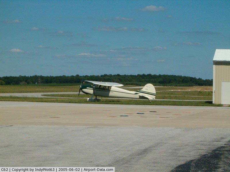
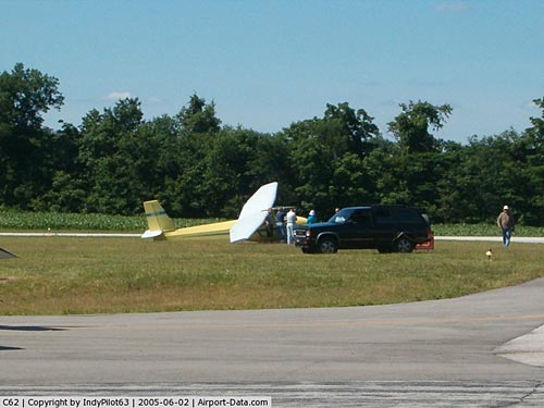
(Click on the photo to enlarge) |
|
 |
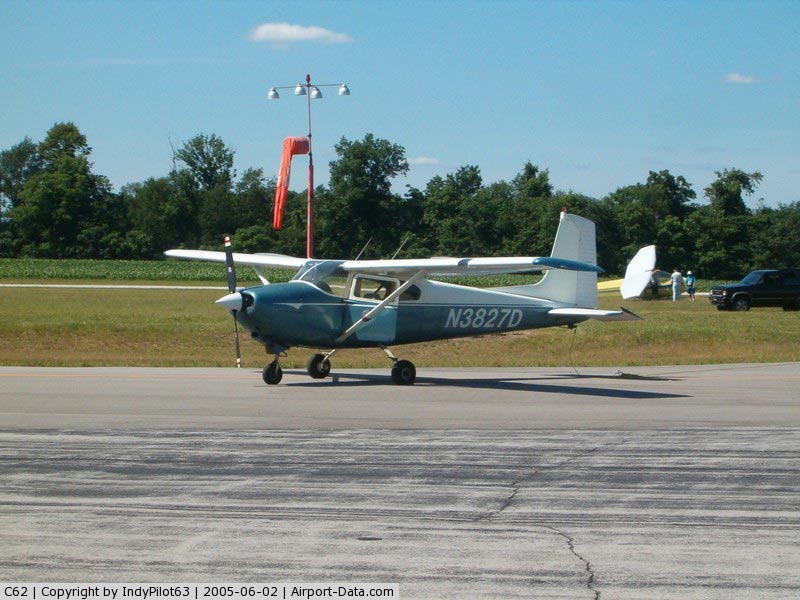
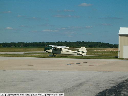
(Click on the photo to enlarge) |
|
 |
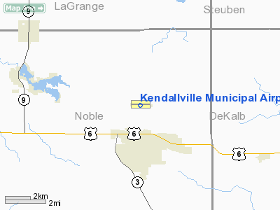
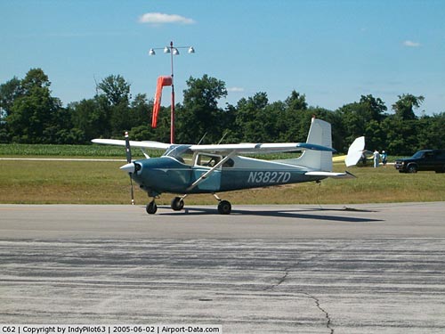
(Click on the photo to enlarge) |
|
 |
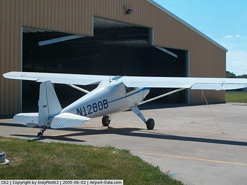
(Click on the photo to enlarge) |
Location
& QuickFacts
|
FAA
Information Effective: |
2008-06-05 |
|
Airport
Identifier: |
C62 |
|
Airport
Status: |
Operational |
|
Longitude/Latitude: |
085-15-38.9100W/41-28-21.7790N
-85.260808/41.472716 (Estimated) |
|
Elevation: |
1005 ft / 306.32 m (Estimated) |
|
Land: |
117 acres |
|
From nearest
city: |
2 nautical miles N of Kendallville, IN |
|
Location: |
Noble County, IN |
|
Magnetic
Variation: |
04W (1995) |
Owner
& Manager
|
Ownership: |
Publicly
owned |
|
Owner: |
Kendallville Boac |
|
Address: |
363 E Airport Rd
Kendallville, IN 46755 |
|
Phone
number: |
219-347-9260 |
|
Manager: |
James H. Renkenberger |
|
Address: |
363 E. Airport Rd.
Kendallville, IN 46755 |
|
Phone
number: |
219-347-9260 |
Airport
Operations and Facilities
|
Airport
Use: |
Open
to public |
|
Wind indicator: |
Yes |
|
Segmented
Circle: |
Yes |
|
Control
Tower: |
No |
|
Lighting
Schedule: |
DUSK-DAWN
ACTVT MIRL RY 10/28; REIL RYS 10 & 28 - CTAF. |
|
Beacon
Color: |
Clear-Green (lighted land airport) |
|
Landing
fee charge: |
No |
|
Sectional
chart: |
Chicago |
|
Region: |
AGL - Great Lakes |
|
Boundary
ARTCC: |
ZAU - Chicago |
|
Tie-in
FSS: |
HUF - Terre Haute |
|
FSS on
Airport: |
No |
|
FSS Toll
Free: |
1-800-WX-BRIEF |
|
NOTAMs
Facility: |
HUF (NOTAM-d service avaliable) |
|
Federal
Agreements: |
NGY |
Airport
Communications
|
CTAF: |
122.800 |
|
Unicom: |
122.800
|
Airport
Services
|
Fuel
available: |
100LLA |
|
Airframe
Repair: |
MAJOR |
|
Power
Plant Repair: |
MAJOR |
|
Bottled
Oxygen: |
NONE |
|
Bulk Oxygen: |
NONE |
|
Runway Information
Runway 10/28
|
Dimension: |
4400 x 75 ft
/ 1341.1 x 22.9 m |
|
Surface: |
ASPH, Good Condition |
|
Weight Limit: |
Single wheel: 12500 lbs. |
|
Edge Lights: |
Medium |
|
|
Runway 10 |
Runway 28 |
|
Longitude: |
085-16-07.7640W |
085-15-09.9900W |
|
Latitude: |
41-28-22.4050N |
41-28-21.1690N |
|
Elevation: |
1000.00 ft |
1005.00 ft |
|
Alignment: |
92 |
127 |
|
Traffic
Pattern: |
Left |
Left |
|
Markings: |
Non-precision instrument, Good Condition |
Non-precision instrument, Good Condition |
|
Crossing
Height: |
23.00 ft |
23.00 ft |
|
VASI: |
2-light PAPI on left side |
2-light PAPI on left side |
|
Visual Glide
Angle: |
3.00° |
3.00° |
|
Runway End
Identifier: |
Yes |
Yes |
|
Centerline
Lights: |
No |
No |
|
Touchdown
Lights: |
No |
No |
|
Obstruction: |
, 50:1 slope to clear |
10 ft road, 418.0 ft from runway, 21:1 slope
to clear |
|
Radio Navigation
Aids
|
ID |
Type |
Name |
Ch |
Freq |
Var |
Dist |
|
ANQ |
NDB |
Angola |
|
347.00 |
05W |
12.7 nm |
|
IRS |
NDB |
Sturgis |
|
382.00 |
04W |
21.9 nm |
|
HAI |
NDB |
Three Rivers |
|
407.00 |
02W |
32.7 nm |
|
BYN |
NDB |
Bryan |
|
260.00 |
04W |
35.8 nm |
|
HHG |
NDB |
Huntington |
|
417.00 |
03W |
38.2 nm |
|
DFI |
NDB |
Defiance |
|
246.00 |
05W |
38.5 nm |
|
VFU |
NDB |
Stanley |
|
411.00 |
05W |
46.9 nm |
|
RCR |
NDB |
Rochester |
|
216.00 |
03W |
48.6 nm |
|
IWH |
NDB |
Wabash |
|
329.00 |
03W |
49.1 nm |
|
OLK |
VOR |
Wolf Lake |
|
110.40 |
03W |
17.3 nm |
|
LFD |
VOR/DME |
Litchfield |
049X |
111.20 |
05W |
41.8 nm |
|
AZO |
VOR/DME |
Kalamazoo |
027X |
109.00 |
01W |
47.8 nm |
|
FWA |
VORTAC |
Fort Wayne |
125X |
117.80 |
00E |
29.9 nm |
|
GSH |
VORTAC |
Goshen |
084X |
113.70 |
00E |
34.7 nm |
|
FWA |
VOT |
Fort Wayne Baer |
|
111.00 |
|
29.9 nm |
Remarks
- RWY
10 100' FROM RWY END GROUND SLOPES DOWN TO 5' BELOW RWY HEIGHT.
- GLIDER
OPNS 0900-SS MAY-NOV.
- CROPS
160 FT N OF CNTRLN ENTIRE RY LENGTH.
Based Aircraft
|
Aircraft
based on field: |
47 |
|
Single Engine
Airplanes: |
37 |
|
Multi Engine Airplanes: |
2 |
|
Jet Engine Airplanes: |
1 |
|
Gliders: |
5 |
|
Ultralights: |
2 |
Operational Statistics
Time
Period: 2004-01-02 - 2004-12-31
|
Aircraft
Operations: |
44/Day |
|
Air Taxi: |
4.0% |
|
General Aviation
Local: |
67.0% |
|
General Aviation
Itinerant: |
29.0% |
Kendallville Municipal Airport
Address:
Noble County, IN
Tel:
219-347-9260
Images
and information placed above are from
http://www.airport-data.com/airport/C62/
We
thank them for the data!
| General
Info |
| Country |
United
States |
| State |
INDIANA
|
| FAA ID |
C62 |
| Latitude |
41-28-21.779N
|
| Longitude |
085-15-38.910W
|
| Elevation |
1005 feet
|
| Near City |
KENDALLVILLE
|
We don't guarantee the information is fresh and accurate. The data may
be wrong or outdated.
For more up-to-date information please refer to other sources.
|
|