|
|
Indianapolis Executive Airport |
| Indianapolis Executive Airport |
| IATA: none â ICAO: KTYQ â FAA LID: TYQ |
| Summary |
| Airport type |
Public |
| Owner |
Hamilton County Airport Authority |
| Serves |
Indianapolis, Indiana |
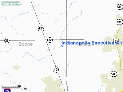
| Location |
Zionsville, Indiana |
| Elevation AMSL |
922 ft / 281 m |
| Coordinates |
40°01â²50â³N 086°15â²05â³W / 40.03056°N 86.25139°W / 40.03056; -86.25139 |
| Website |
IndyExecAirport.com |
| Runways |
| Direction |
Length |
Surface |
| ft |
m |
| 18/36 |
5,501 |
1,677 |
[Concrete] |
| Statistics (2005) |
| Aircraft operations |
34,891 |
| Based aircraft |
91 |
| Source: FAA and airport web site |
Indianapolis Executive Airport (ICAO: KTYQ, FAA LID: TYQ) is a public airport at 11329 E. State Road 32 in Zionsville, a town in Boone County, Indiana, United States. The airport is located just west of the border of Hamilton County and is owned by the Hamilton County Airport Authority. It is 14 miles (23 km) northwest of the central business district of Indianapolis and serves as a reliever airport for Indianapolis International Airport. The airport is also five miles (8 km) north from the center of Zionsville.
Although most U.S. airports use the same three-letter location identifier for the FAA and IATA, Indianapolis Executive Airport is assigned TYQ by the FAA but has no designation from the IATA. It was formerly known as Terry Airport (FAA LID: I52).
Facilities and aircraft
Indianapolis Executive Airport covers an area of 567 acres (229 ha) and contains one runway designated 18/36 with a 5,501 x 100 ft (1,677 x 30 m) concrete pavement. For the 12-month period ending December 31, 2005, the airport had 34,891 aircraft operations, an average of 95 per day: 95% general aviation and 5% air taxi. There are 105 aircraft based at this airport: 80% single-engine, 7% multi-engine and 13% jet.
The above content comes from Wikipedia and is published under free licenses – click here to read more.
|
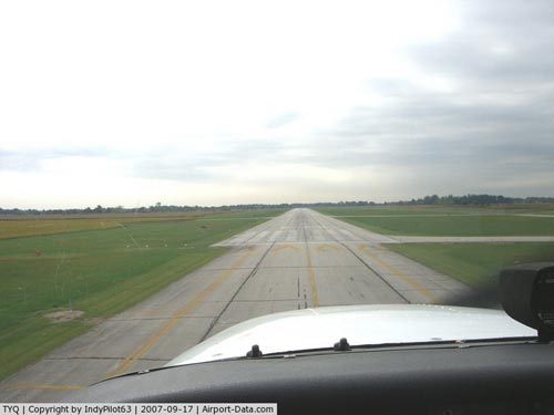 |
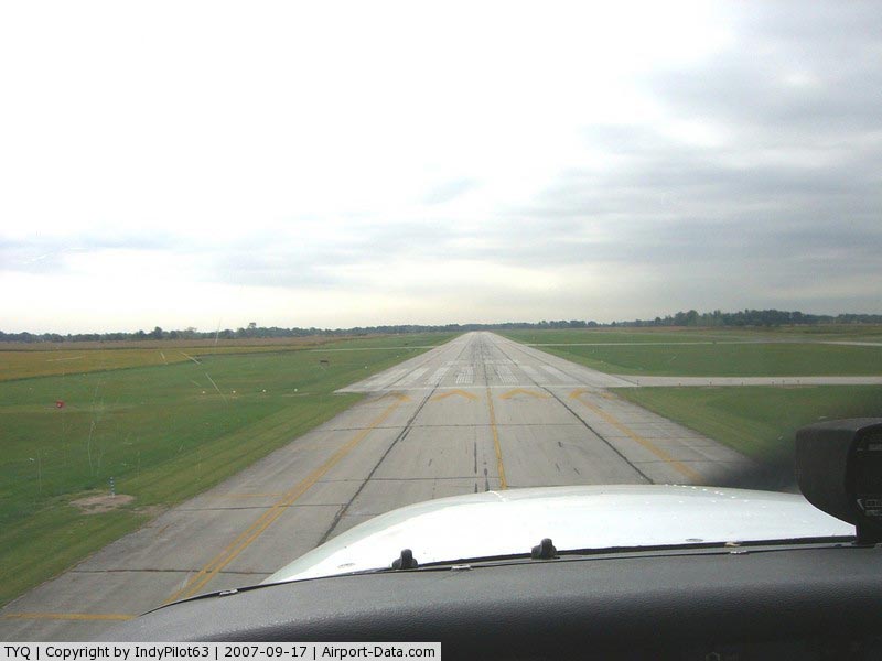
(Click on the photo to enlarge) |
|
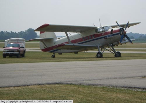 |
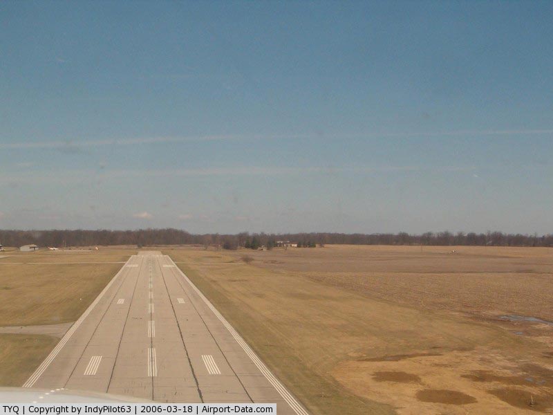
(Click on the photo to enlarge) |
|
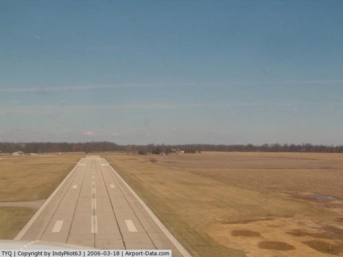 |
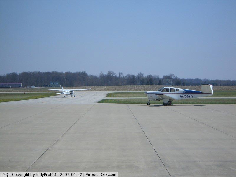
(Click on the photo to enlarge) |
|
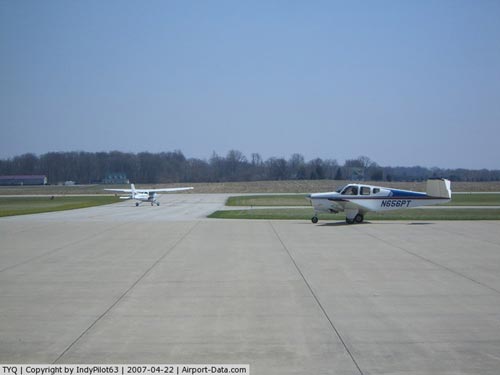 |
(Click on the photo to enlarge) |
Location
& QuickFacts
|
FAA Information
Effective: |
2008-06-05 |
|
Airport
Identifier: |
TYQ |
|
Airport
Status: |
Operational |
|
Longitude/Latitude: |
086-15-05.2000W/40-01-50.3000N
-86.251444/40.030639 (Estimated) |
|
Elevation: |
922 ft / 281.03 m (Surveyed) |
|
Land: |
567 acres |
|
From nearest
city: |
14
nautical miles NW of Indianapolis, IN |
|
Location: |
Boone
County, IN |
|
Magnetic
Variation: |
03W
(1995) |
Owner
& Manager
|
Ownership: |
Publicly
owned |
|
Owner: |
Hamilton County Boac
BOARD OF AVIATION COMMISSIONERS. |
|
Address: |
11329 E Sr32
Noblesville, IN 46060 |
|
Phone
number: |
317-773-5298 |
|
Manager: |
Dan Montgomery |
|
Address: |
11329 E. State Rd 32
Zionsville, IN 46077 |
|
Phone
number: |
317-769-4487 |
Airport
Operations and Facilities
|
Airport
Use: |
Open
to public |
|
Wind indicator: |
Yes |
|
Segmented
Circle: |
No |
|
Control
Tower: |
No |
|
Lighting
Schedule: |
DUSK-DAWN
HIRL RY 18/36 PRESET ON LOW INTST DUSK TO 2230; TO INCR
INTST & ACTVT REIL RYS 18 & 36 AND VASI RY 18; PAPI
RY 36 - CTAF. AFT 2230 ACTVT HIRL RY 18/36 & REIL RYS
18 & 36 AND VASI RY 18; PAPI RY 36 - CTAF. |
|
Beacon
Color: |
Clear-Green (lighted land airport) |
|
Landing
fee charge: |
No |
|
Sectional
chart: |
Chicago |
|
Region: |
AGL - Great Lakes |
|
Boundary
ARTCC: |
ZAU - Chicago |
|
Responsible
ARTCC: |
ZID - Indianapolis |
|
Tie-in
FSS: |
HUF - Terre Haute |
|
FSS on
Airport: |
No |
|
FSS Toll
Free: |
1-800-WX-BRIEF |
|
NOTAMs
Facility: |
HUF (NOTAM-d service avaliable) |
|
Federal
Agreements: |
NGYM |
Airport
Communications
|
CTAF: |
123.050 |
|
Unicom: |
123.050
|
Airport
Services
|
Fuel
available: |
100LLA |
|
Airframe
Repair: |
MAJOR |
|
Power
Plant Repair: |
MAJOR |
|
Bottled
Oxygen: |
HIGH |
|
Runway Information
Runway 18/36
|
Dimension: |
5501 x 100 ft
/ 1676.7 x 30.5 m |
|
Surface: |
ASPH, Fair Condition |
|
Surface Treatment: |
Saw-cut or plastic Grooved |
|
Weight Limit: |
Single wheel: 45000 lbs.
Dual wheel: 60000 lbs. |
|
Edge Lights: |
High |
|
|
Runway 18 |
Runway 36 |
|
Longitude: |
086-15-05.4738W |
086-15-04.8210W |
|
Latitude: |
40-02-17.6001N |
40-01-23.2358N |
|
Elevation: |
922.00 ft |
922.00 ft |
|
Alignment: |
127 |
127 |
|
ILS Type: |
|
ILS |
|
Traffic
Pattern: |
Left |
Left |
|
Markings: |
Non-precision instrument, Fair Condition |
Precision instrument, Fair Condition
RY 18/36 MARKINGS & SIDELINES FADED. |
|
Crossing
Height: |
45.00 ft |
57.00 ft |
|
VASI: |
2-box on left side |
2-light PAPI on left side |
|
Visual Glide
Angle: |
3.00° |
3.00° |
|
Runway End
Identifier: |
Yes |
Yes |
|
Centerline
Lights: |
No |
No |
|
Touchdown
Lights: |
No |
No |
|
Obstruction: |
61 ft trees, 1439.0 ft from runway, 355 ft
left of centerline, 20:1 slope to clear |
10 ft *, 200.0 ft from runway, 250 ft left
of centerline
APCH RATIO 35:1 TO DSPLCD THLD.
10' CROPS 150' FM RWY END, 250'L |
|
Radio Navigation
Aids
|
ID |
Type |
Name |
Ch |
Freq |
Var |
Dist |
|
HZP |
NDB |
Zionsville |
|
248.00 |
03W |
5.5 nm |
|
UMP |
NDB |
Metropolitan |
|
338.00 |
03W |
10.8 nm |
|
FKR |
NDB |
Frankfort |
|
278.00 |
02W |
20.3 nm |
|
HFY |
NDB |
Greenwood |
|
398.00 |
02W |
25.0 nm |
|
CFJ |
NDB |
Crawfordsville |
|
388.00 |
02W |
30.7 nm |
|
TVX |
NDB |
Greencastle |
|
521.00 |
03W |
31.9 nm |
|
AI |
NDB |
Video |
|
371.00 |
03W |
34.2 nm |
|
GGP |
NDB |
Logansport |
|
263.00 |
01W |
41.2 nm |
|
UWL |
NDB |
New Castle |
|
385.00 |
02W |
43.9 nm |
|
BA |
NDB |
Clifs |
|
410.00 |
03W |
47.1 nm |
|
MCX |
NDB |
White County |
|
377.00 |
03W |
47.1 nm |
|
IWH |
NDB |
Wabash |
|
329.00 |
03W |
48.7 nm |
|
MZZ |
VOR/DME |
Marion |
023X |
108.60 |
03W |
38.2 nm |
|
MIE |
VOR/DME |
Muncie |
091X |
114.40 |
03W |
41.3 nm |
|
VHP |
VORTAC |
Brickyard |
110X |
116.30 |
01E |
14.0 nm |
|
SHB |
VORTAC |
Shelbyville |
057X |
112.00 |
01E |
31.0 nm |
|
OKK |
VORTAC |
Kokomo |
082X |
113.50 |
00E |
31.2 nm |
|
GUS |
VORTAC |
Grissom |
21Y |
108.45 |
02W |
37.2 nm |
|
BVT |
VORTAC |
Boiler |
098X |
115.10 |
01E |
49.0 nm |
|
IND |
VOT |
Indianapolis Intl |
|
109.60 |
|
18.5 nm |
Remarks
- OPERNS
NOT RCMND ON TURF ADJ TO RWY 18/36.
- RY
18 /36 10 FT SEASONAL CROPS 160 FT FROM RY END 255 FT L PENETRATE PRIMARY
SFC.
- RY
18/36 CUT TREES 130-240 FT E OF CNTRLN PENETRATE PRIMARY SFC AREA.
- TWY
PARALLEL TO RY 36 CLSD.
Based Aircraft
|
Aircraft
based on field: |
91 |
|
Single Engine
Airplanes: |
73 |
|
Multi Engine Airplanes: |
6 |
|
Jet Engine Airplanes: |
12 |
Operational Statistics
Time
Period: 2005-01-01 - 2005-12-31
|
Aircraft
Operations: |
96/Day |
|
Air Taxi: |
4.7% |
|
General Aviation
Local: |
44.7% |
|
General Aviation
Itinerant: |
50.7% |
Indianapolis Executive Airport
Address:
Boone County, IN
Tel:
317-773-5298,
317-769-4487
Images
and information placed above are from
http://www.airport-data.com/airport/TYQ/
We
thank them for the data!
| General
Info |
| Country |
United
States |
| State |
INDIANA
|
| FAA ID |
TYQ |
| Latitude |
40-01-50.339N
|
| Longitude |
086-15-05.175W
|
| Elevation |
922 feet
|
| Near City |
INDIANAPOLIS
|
We don't guarantee the information is fresh and accurate. The data may
be wrong or outdated.
For more up-to-date information please refer to other sources.
|
|