|
|
|
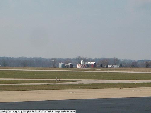 |
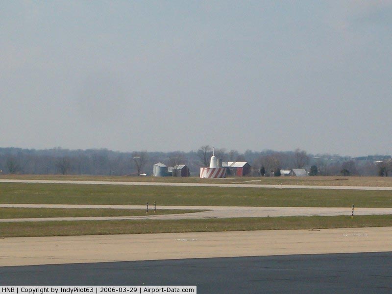
(Click on the photo to enlarge) |
|
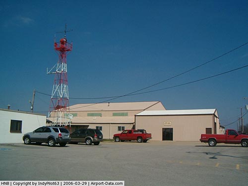 |
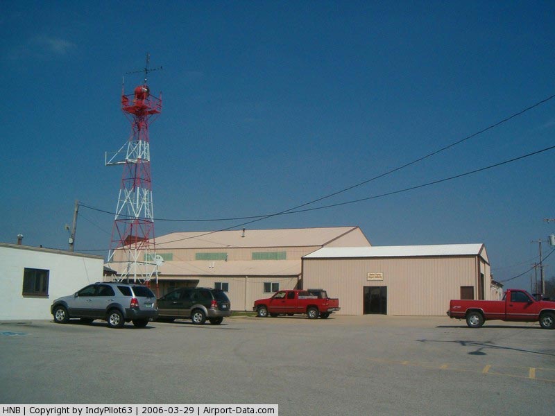
(Click on the photo to enlarge) |
|
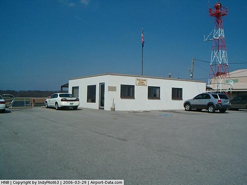 |
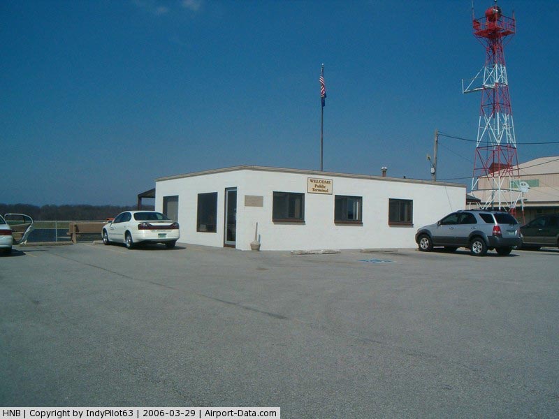
(Click on the photo to enlarge) |
|
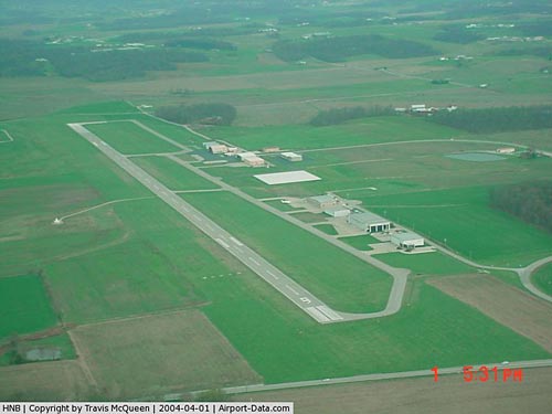 |
(Click on the photo to enlarge) |
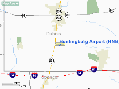
Location
& QuickFacts
|
FAA
Information Effective: |
2008-06-05 |
|
Airport
Identifier: |
HNB |
|
Airport
Status: |
Operational |
|
Longitude/Latitude: |
086-57-13.3000W/38-14-56.5000N
-86.953694/38.249028 (Estimated) |
|
Elevation: |
529 ft / 161.24 m (Surveyed) |
|
Land: |
480 acres |
|
From nearest
city: |
3 nautical miles S of Huntingburg, IN |
|
Location: |
Dubois County, IN |
|
Magnetic
Variation: |
00E (1980) |
Owner
& Manager
|
Ownership: |
Publicly
owned |
|
Owner: |
Dubois County Arpt Auth |
|
Address: |
P.o. Box 293
Huntingburg, IN 47542 |
|
Phone
number: |
812-683-5454 |
|
Manager: |
Travis Mcqueen |
|
Address: |
P.o. Box 293, 2495 West 900 South
Huntingburg, IN 47542 |
|
Phone
number: |
812-683-5454
OR 812-683-2888. CELL 812-639-7638 |
Airport
Operations and Facilities
|
Airport
Use: |
Open
to public |
|
Wind indicator: |
Yes |
|
Segmented
Circle: |
No |
|
Control
Tower: |
No |
|
Lighting
Schedule: |
DUSK-DAWN
ACTVT MIRL RY 09/27, VASI RY 27, & PAPI RY 09 &
REIL RYS 09 & 27 - CTAF. |
|
Beacon
Color: |
Clear-Green (lighted land airport) |
|
Landing
fee charge: |
No |
|
Sectional
chart: |
St Louis |
|
Region: |
AGL - Great Lakes |
|
Boundary
ARTCC: |
ZID - Indianapolis |
|
Tie-in
FSS: |
HUF - Terre Haute |
|
FSS on
Airport: |
No |
|
FSS Toll
Free: |
1-800-WX-BRIEF |
|
NOTAMs
Facility: |
HNB (NOTAM-d service avaliable) |
|
Federal
Agreements: |
NGY |
Airport
Communications
|
CTAF: |
122.800 |
|
Unicom: |
122.800
|
Airport
Services
|
Fuel
available: |
100LLA1+ |
|
Airframe
Repair: |
MAJOR |
|
Power
Plant Repair: |
MAJOR |
|
Bottled
Oxygen: |
HIGH |
|
Bulk Oxygen: |
NONE |
|
Runway Information
Runway 09/27
|
Dimension: |
5000 x 75 ft
/ 1524.0 x 22.9 m |
|
Surface: |
ASPH, Fair Condition |
|
Surface Treatment: |
Saw-cut or plastic Grooved |
|
Weight Limit: |
Single wheel: 28000 lbs.
Dual wheel: 33000 lbs. |
|
Edge Lights: |
Medium |
|
|
Runway 09 |
Runway 27 |
|
Longitude: |
086-57-44.6281W |
086-56-41.9596W |
|
Latitude: |
38-14-56.7642N |
38-14-56.2120N |
|
Elevation: |
513.00 ft |
527.00 ft |
|
Alignment: |
91 |
127 |
|
Traffic
Pattern: |
Left |
Left |
|
Markings: |
Non-precision instrument, Good Condition |
Non-precision instrument, Good Condition |
|
Crossing
Height: |
38.00 ft |
49.00 ft |
|
VASI: |
4-light PAPI on left side |
4-box on left side |
|
Visual Glide
Angle: |
3.00° |
3.00° |
|
Runway End
Identifier: |
Yes |
Yes |
|
Centerline
Lights: |
No |
No |
|
Touchdown
Lights: |
No |
No |
|
Obstruction: |
6 ft road, 404.0 ft from runway, 34:1 slope
to clear |
, 50:1 slope to clear |
|
Radio Navigation
Aids
|
ID |
Type |
Name |
Ch |
Freq |
Var |
Dist |
|
FNZ |
NDB |
Ferdinand |
|
239.00 |
00E |
5.5 nm |
|
TEL |
NDB |
Tell City |
|
206.00 |
02W |
18.8 nm |
|
RRJ |
NDB |
Oranj |
|
368.00 |
02W |
26.1 nm |
|
DCY |
NDB |
Washington |
|
212.00 |
03W |
28.2 nm |
|
PDW |
NDB |
Evansville |
|
284.00 |
00E |
30.0 nm |
|
OEA |
NDB |
Vincennes |
|
251.00 |
00E |
38.8 nm |
|
AJG |
NDB |
Mount Carmel |
|
524.00 |
02W |
42.4 nm |
|
BFR |
NDB |
Bedford |
|
344.00 |
02W |
43.0 nm |
|
GVA |
NDB |
Geneva |
|
224.00 |
01W |
47.1 nm |
|
GOI |
NDB |
Godman |
|
396.00 |
02W |
49.4 nm |
|
MYS |
VOR |
Mystic |
|
108.20 |
01W |
39.8 nm |
|
HNB |
VOR/DME |
Huntingburg |
029X |
109.20 |
00E |
0.1 nm |
|
OWB |
VOR/DME |
Owensboro |
023X |
108.60 |
01E |
32.0 nm |
|
LWV |
VOR/DME |
Lawrenceville |
025X |
108.80 |
01W |
43.8 nm |
|
PXV |
VORTAC |
Pocket City |
080X |
113.30 |
03E |
42.8 nm |
Remarks
- TWY
EDGE MRKD BY BLUE REFLECTORS.
- RY
09 60 FT LGTD TOWERS 800 FT FM RY END 400 FT L.
Based Aircraft
|
Aircraft
based on field: |
30 |
|
Single Engine
Airplanes: |
12 |
|
Multi Engine Airplanes: |
11 |
|
Jet Engine Airplanes: |
7 |
Operational Statistics
Time
Period: 2007-01-01 - 2007-12-31
|
Aircraft
Operations: |
230/Week |
|
Air Taxi: |
4.0% |
|
General Aviation
Local: |
81.0% |
|
General Aviation
Itinerant: |
14.0% |
|
Military: |
1.0% |
Huntingburg Airport
Address:
Dubois County, IN
Tel:
812-683-5454,
812-683-2888
Images
and information placed above are from
http://www.airport-data.com/airport/HNB/
We
thank them for the data!
| General
Info |
| Country |
United
States |
| State |
INDIANA
|
| FAA ID |
HNB |
| Latitude |
38-14-56.493N
|
| Longitude |
086-57-13.386W
|
| Elevation |
529 feet
|
| Near City |
HUNTINGBURG
|
We don't guarantee the information is fresh and accurate. The data may
be wrong or outdated.
For more up-to-date information please refer to other sources.
|
|