|
|
|
 |
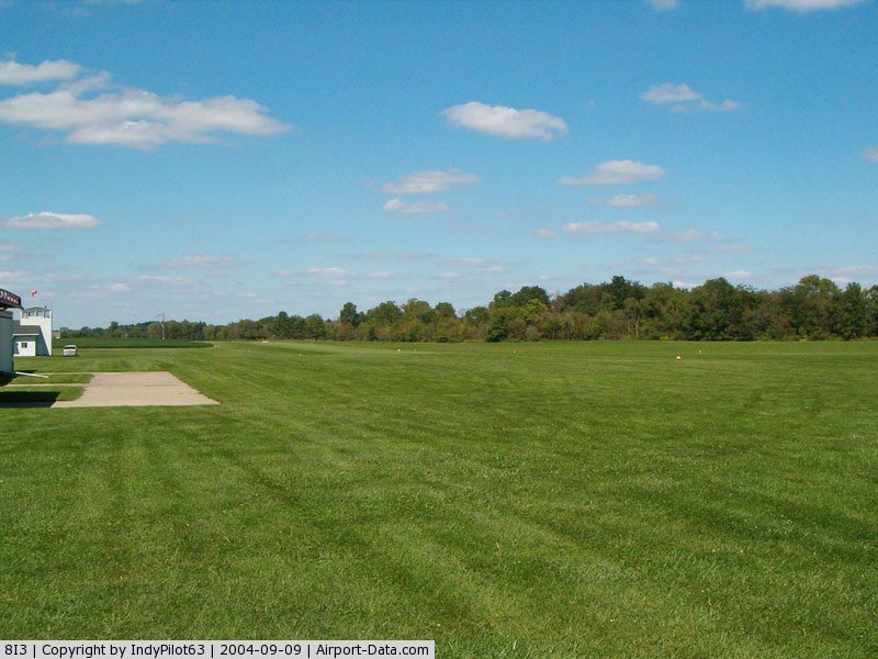
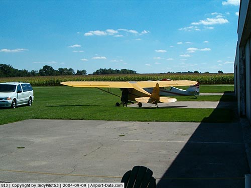
(Click on the photo to enlarge) |
|
 |
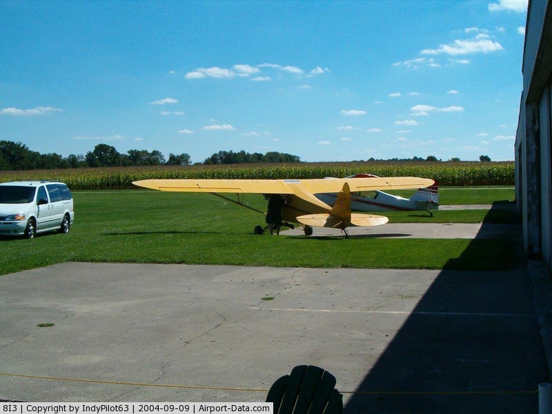
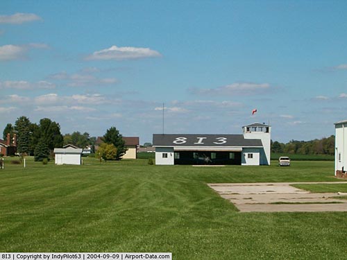
(Click on the photo to enlarge) |
|
 |
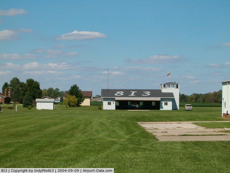
(Click on the photo to enlarge) |
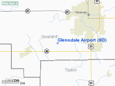
Location
& QuickFacts
|
FAA
Information Effective: |
2007-12-20 |
|
Airport
Identifier: |
8I3 |
|
Airport
Status: |
Operational |
|
Longitude/Latitude: |
086-12-11.9780W/40-26-00.1350N
-86.203327/40.433371 (Estimated) |
|
Elevation: |
850 ft / 259.08 m (Estimated) |
|
Land: |
65 acres |
|
From nearest
city: |
5 nautical miles SW of Kokomo, IN |
|
Location: |
Howard County, IN |
|
Magnetic
Variation: |
02W (1985) |
Owner & Manager
|
Ownership: |
Privately
owned |
|
Owner: |
Dale Etherington |
|
Address: |
3460 S 400 W
Kokomo, IN 46902 |
|
Phone
number: |
765-883-5440 |
|
Manager: |
Steve Stants |
|
Address: |
3460 S 400 W
Kokomo, IN 46902 |
|
Phone
number: |
765-883-5440 |
Airport
Operations and Facilities
|
Airport
Use: |
Open
to public |
|
Wind indicator: |
Yes |
|
Segmented
Circle: |
No |
|
Control
Tower: |
No |
|
Landing
fee charge: |
No |
|
Sectional
chart: |
Chicago |
|
Region: |
AGL - Great Lakes |
|
Boundary
ARTCC: |
ZAU - Chicago |
|
Tie-in
FSS: |
HUF - Terre Haute |
|
FSS on
Airport: |
No |
|
FSS Toll
Free: |
1-800-WX-BRIEF |
|
NOTAMs
Facility: |
HUF (NOTAM-d service avaliable) |
Airport Communications
Airport Services
|
Fuel
available: |
100LL |
|
Airframe
Repair: |
MINOR |
|
Power
Plant Repair: |
MINOR |
|
Runway Information
Runway 18/36
|
Dimension: |
2048 x 110
ft / 624.2 x 33.5 m
500 FT STWY N END.
RY 18/36 CROPS 55 FT L & R OF CL WHOLE LENGTH OF RY. |
|
Surface: |
TURF, Fair Condition |
|
|
Runway 18 |
Runway 36 |
|
Longitude: |
086-12-03.9700W |
086-12-03.9700W |
|
Latitude: |
40-25-50.7500N |
40-25-30.5100N |
|
Elevation: |
840.00 ft |
840.00 ft |
|
Traffic
Pattern: |
Right |
Left |
|
Displaced
threshold: |
292.00 ft |
300.00 ft |
|
Runway End
Identifier: |
No |
No |
|
Centerline
Lights: |
No |
No |
|
Touchdown
Lights: |
No |
No |
|
Obstruction: |
62 ft pline, 1021.0 ft from runway, 16:1 slope
to clear
APCH RATIO 21:1 TO DSPLCD THLD. |
15 ft road, 0.0 ft from runway
APCH RATIO 20:1 TO DSPLCD THR. |
|
Radio Navigation
Aids
|
ID |
Type |
Name |
Ch |
Freq |
Var |
Dist |
|
GGP |
NDB |
Logansport |
|
263.00 |
01W |
18.3 nm |
|
FKR |
NDB |
Frankfort |
|
278.00 |
02W |
19.2 nm |
|
IWH |
NDB |
Wabash |
|
329.00 |
03W |
27.1 nm |
|
HZP |
NDB |
Zionsville |
|
248.00 |
03W |
29.7 nm |
|
MCX |
NDB |
White County |
|
377.00 |
03W |
30.5 nm |
|
UMP |
NDB |
Metropolitan |
|
338.00 |
03W |
30.6 nm |
|
RCR |
NDB |
Rochester |
|
216.00 |
03W |
38.0 nm |
|
AI |
NDB |
Video |
|
371.00 |
03W |
38.6 nm |
|
HHG |
NDB |
Huntington |
|
417.00 |
03W |
42.2 nm |
|
CFJ |
NDB |
Crawfordsville |
|
388.00 |
02W |
42.5 nm |
|
RWN |
NDB |
Winamac/dcmsnd |
|
335.00 |
00W |
43.7 nm |
|
CPB |
NDB |
Culver |
|
391.00 |
01W |
47.8 nm |
|
HFY |
NDB |
Greenwood |
|
398.00 |
02W |
48.4 nm |
|
MZZ |
VOR/DME |
Marion |
023X |
108.60 |
03W |
24.2 nm |
|
MIE |
VOR/DME |
Muncie |
091X |
114.40 |
03W |
38.9 nm |
|
OKK |
VORTAC |
Kokomo |
082X |
113.50 |
00E |
8.7 nm |
|
GUS |
VORTAC |
Grissom |
21Y |
108.45 |
02W |
12.9 nm |
|
VHP |
VORTAC |
Brickyard |
110X |
116.30 |
01E |
37.9 nm |
|
BVT |
VORTAC |
Boiler |
098X |
115.10 |
01E |
40.3 nm |
|
IND |
VOT |
Indianapolis Intl |
|
109.60 |
|
42.8 nm |
Based Aircraft
|
Aircraft
based on field: |
18 |
|
Single Engine
Airplanes: |
18 |
Operational Statistics
Time
Period: 2005-08-31 - 2006-08-30
|
Aircraft
Operations: |
177/Week |
|
General Aviation
Local: |
75.0% |
|
General Aviation
Itinerant: |
25.0% |
Glenndale Airport
Address:
Howard County, IN
Tel:
765-883-5440
Images
and information placed above are from
http://www.airport-data.com/airport/8I3/
We
thank them for the data!
| General
Info |
| Country |
United
States |
| State |
INDIANA
|
| FAA ID |
8I3 |
| Latitude |
40-26-00.135N
|
| Longitude |
086-12-11.978W
|
| Elevation |
850 feet
|
| Near City |
KOKOMO
|
We don't guarantee the information is fresh and accurate. The data may
be wrong or outdated.
For more up-to-date information please refer to other sources.
|
|