|
|
Franklin Flying Field Airport |
|
 |
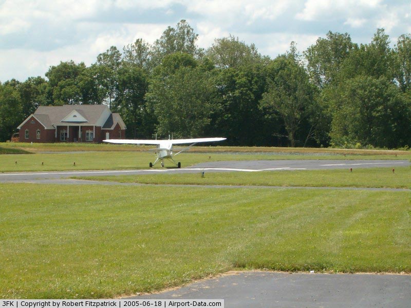
(Click on the photo to enlarge) |
|
 |
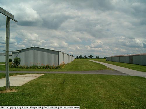
(Click on the photo to enlarge) |
|
 |
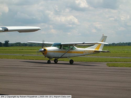
(Click on the photo to enlarge) |
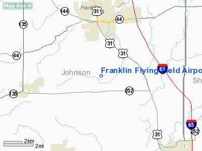
Location
& QuickFacts
|
FAA
Information Effective: |
2007-12-20 |
|
Airport
Identifier: |
3FK |
|
Airport
Status: |
Operational |
|
Longitude/Latitude: |
086-03-29.9590W/39-25-35.1800N
-86.058322/39.426439 (Estimated) |
|
Elevation: |
740 ft / 225.55 m (Estimated) |
|
Land: |
129 acres |
|
From nearest
city: |
3 nautical miles S of Franklin, IN |
|
Location: |
Johnson County, IN |
|
Magnetic
Variation: |
02W (1985) |
Owner & Manager
|
Ownership: |
Privately
owned |
|
Owner: |
Siherb Aviation Corp |
|
Address: |
3477 S. 200 E.
Franklin, IN 46131 |
|
Phone
number: |
317-736-6633 |
|
Manager: |
George Adams |
|
Address: |
3477 S. 200 E.
Franklin, IN 46131 |
|
Phone
number: |
317-736-6633 |
Airport
Operations and Facilities
|
Airport
Use: |
Open
to public |
|
Wind indicator: |
Yes |
|
Segmented
Circle: |
No |
|
Control
Tower: |
No |
|
Lighting
Schedule: |
DUSK-DAWN |
|
Beacon
Color: |
Clear-Green (lighted land airport) |
|
Landing
fee charge: |
No |
|
Sectional
chart: |
St Louis |
|
Region: |
AGL - Great Lakes |
|
Boundary
ARTCC: |
ZID - Indianapolis |
|
Tie-in
FSS: |
HUF - Terre Haute |
|
FSS on
Airport: |
No |
|
FSS Toll
Free: |
1-800-WX-BRIEF |
|
NOTAMs
Facility: |
HUF (NOTAM-d service avaliable) |
Airport Communications
|
CTAF: |
122.700 |
|
Unicom: |
122.700
|
Airport Services
|
Fuel
available: |
100LL |
|
Airframe
Repair: |
MAJOR |
|
Power
Plant Repair: |
MAJOR |
|
Bulk Oxygen: |
NONE |
|
Runway Information
Runway 03/21
|
Dimension: |
2400 x 35 ft
/ 731.5 x 10.7 m |
|
Surface: |
ASPH, Good Condition |
|
Edge Lights: |
Non-standard lighting system
RY 03/21 NSTD LIRL; LGTS ON EAST SIDE 110 FT FM RY EDGE. |
|
|
Runway 03 |
Runway 21 |
|
Longitude: |
086-03-40.0200W |
086-03-24.9500W |
|
Latitude: |
39-25-24.5300N |
39-25-45.1800N |
|
Elevation: |
735.00 ft |
721.00 ft |
|
Traffic
Pattern: |
Left |
Left |
|
Markings: |
, |
Nonstandard, Good Condition |
|
Displaced
threshold: |
125.00 ft |
165.00 ft |
|
Runway End
Identifier: |
No |
No |
|
Centerline
Lights: |
No |
No |
|
Touchdown
Lights: |
No |
No |
|
Obstruction: |
32 ft tree, 261.0 ft from runway, 100 ft left
of centerline, 1:1 slope to clear
APCH SLOPE TO DSPLCD THLD 12:1.
+3 FT BRUSH 190 FT FM RY END & 40 FT L OF CNTRLN. |
10 ft crops, 201.0 ft from runway
APCH SLOPE TO DSPLCD THLD 36:1.
RY 21 SEASONAL CROPS 75 W OF CNTRLN N HALF. CROPS 60 FT FM
RY END 50 FT L. |
|
Radio Navigation
Aids
|
ID |
Type |
Name |
Ch |
Freq |
Var |
Dist |
|
HFY |
NDB |
Greenwood |
|
398.00 |
02W |
12.5 nm |
|
BA |
NDB |
Clifs |
|
410.00 |
03W |
12.8 nm |
|
UMP |
NDB |
Metropolitan |
|
338.00 |
03W |
30.7 nm |
|
OVO |
NDB |
North Vernon |
|
374.00 |
02W |
31.1 nm |
|
HZP |
NDB |
Zionsville |
|
248.00 |
03W |
32.1 nm |
|
BM |
NDB |
Claye |
|
382.00 |
02W |
33.6 nm |
|
EQZ |
NDB |
Captain |
|
308.00 |
02W |
33.8 nm |
|
HLB |
NDB |
Batesville |
|
254.00 |
02W |
37.5 nm |
|
TVX |
NDB |
Greencastle |
|
521.00 |
03W |
38.7 nm |
|
BFR |
NDB |
Bedford |
|
344.00 |
02W |
39.5 nm |
|
UWL |
NDB |
New Castle |
|
385.00 |
02W |
43.8 nm |
|
AI |
NDB |
Video |
|
371.00 |
03W |
46.2 nm |
|
IMS |
NDB |
Madison |
|
404.00 |
03W |
48.8 nm |
|
SHB |
VORTAC |
Shelbyville |
057X |
112.00 |
01E |
16.5 nm |
|
VHP |
VORTAC |
Brickyard |
110X |
116.30 |
01E |
27.4 nm |
|
OOM |
VORTAC |
Hoosier |
039X |
110.20 |
02W |
30.9 nm |
|
IND |
VOT |
Indianapolis Intl |
|
109.60 |
|
20.7 nm |
Remarks
- RY
03/21 THLD LGTS OTS INDEFLY.
Based Aircraft
|
Aircraft
based on field: |
43 |
|
Single Engine
Airplanes: |
41 |
|
Multi Engine Airplanes: |
1 |
|
Helicopters: |
1 |
Operational Statistics
Time
Period: 2004-01-02 - 2004-12-31
|
Aircraft
Operations: |
63/Day |
|
Air Taxi: |
46.9% |
|
General Aviation
Local: |
38.1% |
|
General Aviation
Itinerant: |
15.0% |
Franklin Flying Field Airport
Address:
Johnson County, IN
Tel:
317-736-6633
Images
and information placed above are from
http://www.airport-data.com/airport/3FK/
We
thank them for the data!
| General
Info |
| Country |
United
States |
| State |
INDIANA
|
| FAA ID |
3FK |
| Latitude |
39-25-35.180N
|
| Longitude |
086-03-29.959W
|
| Elevation |
740 feet
|
| Near City |
FRANKLIN
|
We don't guarantee the information is fresh and accurate. The data may
be wrong or outdated.
For more up-to-date information please refer to other sources.
|
|