|
|
Frankfort Municipal Airport |
|
 |
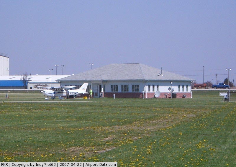
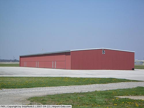
(Click on the photo to enlarge) |
|
 |
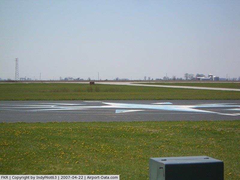
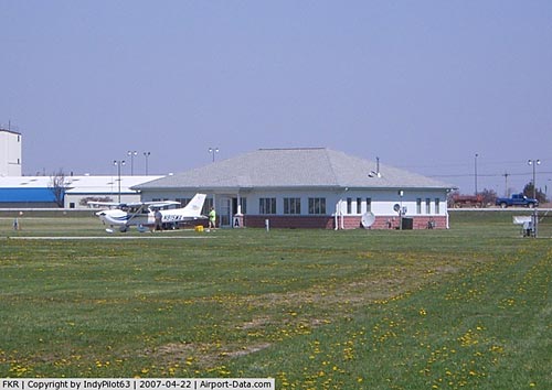
(Click on the photo to enlarge) |
|
 |
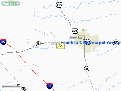
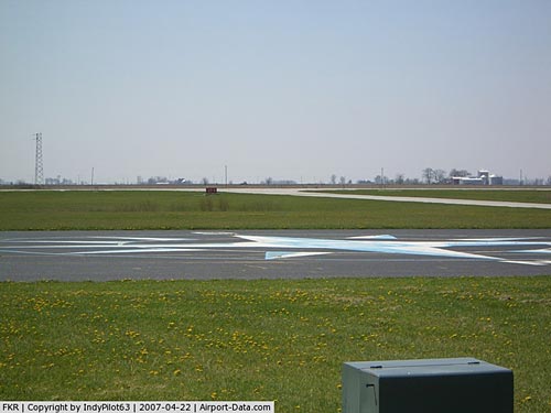
(Click on the photo to enlarge) |
|
 |
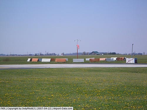
(Click on the photo to enlarge) |
Location
& QuickFacts
|
FAA
Information Effective: |
2007-12-20 |
|
Airport
Identifier: |
FKR |
|
Airport
Status: |
Operational |
|
Longitude/Latitude: |
086-33-43.8130W/40-16-24.3510N
-86.562170/40.273431 (Estimated) |
|
Elevation: |
861 ft / 262.43 m (Surveyed) |
|
Land: |
142 acres |
|
From nearest
city: |
3 nautical miles W of Frankfort, IN |
|
Location: |
Clinton County, IN |
|
Magnetic
Variation: |
02W (1990) |
Owner
& Manager
|
Ownership: |
Publicly
owned |
|
Owner: |
Frankfort Arpt Auth |
|
Address: |
3009 W State Road 28
Frankfort, IN 46041 |
|
Phone
number: |
765-654-6275 |
|
Manager: |
Dan Montgomery |
|
Address: |
3009 W State Road 28
Frankfort, IN 46041 |
|
Phone
number: |
765-654-6275 |
Airport Operations
and Facilities
|
Airport
Use: |
Open
to public |
|
Wind indicator: |
Yes |
|
Segmented
Circle: |
No |
|
Control
Tower: |
No |
|
Lighting
Schedule: |
DUSK-DAWN
MIRL RYS 09/27 & 04/22 PRESET LOW INTST; TO INCR INTST
& ACTVT REIL RYS 09 & 27 - CTAF. |
|
Beacon
Color: |
Clear-Green (lighted land airport) |
|
Landing
fee charge: |
No |
|
Sectional
chart: |
Chicago |
|
Region: |
AGL - Great Lakes |
|
Boundary
ARTCC: |
ZAU - Chicago |
|
Tie-in
FSS: |
HUF - Terre Haute |
|
FSS on
Airport: |
No |
|
FSS Toll
Free: |
1-800-WX-BRIEF |
|
NOTAMs
Facility: |
HUF (NOTAM-d service avaliable) |
|
Federal
Agreements: |
NGY |
Airport Communications
|
CTAF: |
123.000 |
|
Unicom: |
123.000
|
Airport
Services
|
Fuel
available: |
100LLA |
|
Airframe
Repair: |
MINOR |
|
Power
Plant Repair: |
MINOR |
|
Bottled
Oxygen: |
NONE |
|
Bulk Oxygen: |
NONE |
|
Runway Information
Runway 04/22
|
Dimension: |
2527 x 70 ft
/ 770.2 x 21.3 m |
|
Surface: |
ASPH, Fair Condition |
|
Weight Limit: |
Single wheel: 12500 lbs.
Dual wheel: 20000 lbs. |
|
Edge Lights: |
Medium |
|
|
Runway 04 |
Runway 22 |
|
Longitude: |
086-34-08.9050W |
086-33-50.5810W |
|
Latitude: |
40-16-19.3840N |
40-16-40.0430N |
|
Elevation: |
856.00 ft |
854.00 ft |
|
Alignment: |
34 |
127 |
|
Traffic
Pattern: |
Left |
Left |
|
Markings: |
Non-precision instrument, Good Condition |
Non-precision instrument, Good Condition |
|
Runway End
Identifier: |
No |
No |
|
Centerline
Lights: |
No |
No |
|
Touchdown
Lights: |
No |
No |
|
Obstruction: |
10 ft crops, 201.0 ft from runway, 85 ft right
of centerline |
19 ft road, 392.0 ft from runway, 165 ft right
of centerline, 10:1 slope to clear
CLOSEST INTCP POINT. |
|
Runway 09/27
|
Dimension: |
5000 x 75 ft
/ 1524.0 x 22.9 m |
|
Surface: |
ASPH, Good Condition |
|
Edge Lights: |
Medium |
|
|
Runway 09 |
Runway 27 |
|
Longitude: |
086-34-08.0140W |
086-33-03.5090W |
|
Latitude: |
40-16-21.6550N |
40-16-21.6250N |
|
Elevation: |
857.00 ft |
861.00 ft |
|
Alignment: |
90 |
127 |
|
Traffic
Pattern: |
Left |
Left |
|
Markings: |
Non-precision instrument, Good Condition |
Non-precision instrument, Good Condition |
|
Crossing
Height: |
29.00 ft |
26.00 ft |
|
VASI: |
2-light PAPI on left side |
2-light PAPI on left side |
|
Visual Glide
Angle: |
3.00° |
3.00° |
|
Runway End
Identifier: |
Yes |
Yes |
|
Obstruction: |
10 ft crops, 300.0 ft from runway, 10:1 slope
to clear |
10 ft crops, 390.0 ft from runway, 19:1 slope
to clear |
|
Radio Navigation
Aids
|
ID |
Type |
Name |
Ch |
Freq |
Var |
Dist |
|
FKR |
NDB |
Frankfort |
|
278.00 |
02W |
0.2 nm |
|
CFJ |
NDB |
Crawfordsville |
|
388.00 |
02W |
23.9 nm |
|
HZP |
NDB |
Zionsville |
|
248.00 |
03W |
24.7 nm |
|
GGP |
NDB |
Logansport |
|
263.00 |
01W |
27.6 nm |
|
MCX |
NDB |
White County |
|
377.00 |
03W |
27.8 nm |
|
UMP |
NDB |
Metropolitan |
|
338.00 |
03W |
31.0 nm |
|
TVX |
NDB |
Greencastle |
|
521.00 |
03W |
35.4 nm |
|
HFY |
NDB |
Greenwood |
|
398.00 |
02W |
44.2 nm |
|
IWH |
NDB |
Wabash |
|
329.00 |
03W |
45.7 nm |
|
RWN |
NDB |
Winamac/dcmsnd |
|
335.00 |
00W |
49.4 nm |
|
RZL |
NDB |
Rensselaer |
|
362.00 |
02W |
49.4 nm |
|
AI |
NDB |
Video |
|
371.00 |
03W |
49.8 nm |
|
MZZ |
VOR/DME |
Marion |
023X |
108.60 |
03W |
42.5 nm |
|
OKK |
VORTAC |
Kokomo |
082X |
113.50 |
00E |
27.7 nm |
|
BVT |
VORTAC |
Boiler |
098X |
115.10 |
01E |
28.8 nm |
|
VHP |
VORTAC |
Brickyard |
110X |
116.30 |
01E |
29.0 nm |
|
GUS |
VORTAC |
Grissom |
21Y |
108.45 |
02W |
29.2 nm |
|
DNV |
VORTAC |
Danville |
047X |
111.00 |
02E |
45.6 nm |
|
IND |
VOT |
Indianapolis Intl |
|
109.60 |
|
35.4 nm |
Remarks
- RY
04/22 HAS A 420' STWY NE END.
- DITCH
PERPENDICULAR TO RY 04/22 100 FT W OF CNTRLN 20 FT WIDE.
Based Aircraft
|
Aircraft
based on field: |
17 |
|
Single Engine
Airplanes: |
14 |
|
Multi Engine Airplanes: |
2 |
|
Jet Engine Airplanes: |
1 |
Operational Statistics
Time
Period: 2004-01-02 - 2004-12-31
|
Aircraft
Operations: |
151/Week |
|
Air Taxi: |
2.9% |
|
General Aviation
Local: |
45.4% |
|
General Aviation
Itinerant: |
51.7% |
Frankfort Municipal Airport
Address:
Clinton County, IN
Tel:
765-654-6275
Images
and information placed above are from
http://www.airport-data.com/airport/FKR/
We
thank them for the data!
| General
Info |
| Country |
United
States |
| State |
INDIANA
|
| FAA ID |
FKR |
| Latitude |
40-16-24.351N
|
| Longitude |
086-33-43.813W
|
| Elevation |
861 feet
|
| Near City |
FRANKFORT
|
We don't guarantee the information is fresh and accurate. The data may
be wrong or outdated.
For more up-to-date information please refer to other sources.
|
|