 |
|
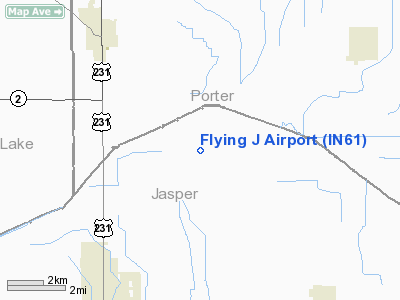
Location
& QuickFacts
|
FAA
Information Effective: |
2007-12-20 |
|
Airport
Identifier: |
IN61 |
|
Airport
Status: |
Operational |
|
Longitude/Latitude: |
087-08-04.0000W/41-15-51.0000N
-87.134444/41.264167 (Estimated) |
|
Elevation: |
653 ft / 199.03 m (Estimated) |
|
Land: |
0 acres |
|
From nearest
city: |
6 nautical miles NW of Wheatfield, IN |
|
Location: |
Jasper County, IN |
|
Magnetic
Variation: |
02W (1995) |
Owner & Manager
|
Ownership: |
Privately
owned |
|
Owner: |
John C Perzee |
|
Address: |
4640 W 1700 N
Wheatfield, IN 46392 |
|
Phone
number: |
219-981-2057 |
|
Manager: |
John C Perzee |
|
Address: |
4640 W 1700 N
Whneatfield, IN 46392 |
|
Phone
number: |
219-981-2057 |
Airport
Operations and Facilities
|
Airport
Use: |
Private |
|
Segmented
Circle: |
No |
|
Control
Tower: |
No |
|
Sectional
chart: |
Chicago |
|
Region: |
AGL - Great Lakes |
|
Boundary
ARTCC: |
ZAU - Chicago |
|
Tie-in
FSS: |
HUF - Terre Haute |
|
FSS Toll
Free: |
1-800-WX-BRIEF |
|
Runway Information
Runway E/W
|
Dimension: |
2500 x 100 ft
/ 762.0 x 30.5 m |
|
Surface: |
TURF, |
|
|
Runway E |
Runway W |
|
Traffic
Pattern: |
Left |
Left |
|
Radio Navigation
Aids
|
ID |
Type |
Name |
Ch |
Freq |
Var |
Dist |
|
VP |
NDB |
Sedly |
|
212.00 |
02W |
16.1 nm |
|
RZL |
NDB |
Rensselaer |
|
362.00 |
02W |
19.2 nm |
|
IUL |
NDB |
La Porte |
|
356.00 |
03W |
21.6 nm |
|
RWN |
NDB |
Winamac/dcmsnd |
|
335.00 |
00W |
26.1 nm |
|
MGC |
NDB |
Michigan City |
|
203.00 |
01W |
30.2 nm |
|
CPB |
NDB |
Culver |
|
391.00 |
01W |
34.0 nm |
|
MCX |
NDB |
White County |
|
377.00 |
03W |
37.3 nm |
|
MX |
NDB |
Kedzi |
|
248.00 |
01W |
38.1 nm |
|
HK |
NDB |
Ermin |
|
332.00 |
01W |
41.8 nm |
|
RCR |
NDB |
Rochester |
|
216.00 |
03W |
44.4 nm |
|
GGP |
NDB |
Logansport |
|
263.00 |
01W |
48.0 nm |
|
OXI |
VOR/DME |
Knox |
103X |
115.60 |
00E |
22.2 nm |
|
IKK |
VOR/DME |
Kankakee |
053X |
111.60 |
00E |
34.3 nm |
|
CGT |
VORTAC |
Chicago Heights |
089X |
114.20 |
02E |
24.6 nm |
|
EON |
VORTAC |
Peotone |
079X |
113.20 |
02E |
29.7 nm |
|
BVT |
VORTAC |
Boiler |
098X |
115.10 |
01E |
42.7 nm |
|
GIJ |
VORTAC |
Gipper |
101X |
115.40 |
00E |
47.6 nm |
|
MDW |
VOT |
Chicago Midway |
|
111.00 |
|
41.9 nm |
Remarks
- PRVDD
THE AREA 125 FT EITHER SIDE OF RY CNTRLN IS CLEAR, ENCLOSE THE DITCH
NEAR THE E END TOM PRVD FOR A RY SAFETY AREA.
Flying J Airport
Address:
Jasper County, IN
Tel:
219-981-2057
Images
and information placed above are from
http://www.airport-data.com/airport/IN61/
We
thank them for the data!
| General
Info |
| Country |
United
States |
| State |
INDIANA
|
| FAA ID |
IN61 |
| Latitude |
41-15-51.000N
|
| Longitude |
087-08-04.000W
|
| Elevation |
653 feet
|
| Near City |
WHEATFIELD
|
We don't guarantee the information is fresh and accurate. The data may
be wrong or outdated.
For more up-to-date information please refer to other sources.
|
|


