 |
|
Location
& QuickFacts
|
FAA
Information Effective: |
2007-12-20 |
|
Airport
Identifier: |
37IN |
|
Airport
Status: |
Operational |
|
Longitude/Latitude: |
086-46-49.0220W/40-17-30.1290N
-86.780284/40.291702 (Estimated) |
|
Elevation: |
750 ft / 228.60 m (Estimated) |
|
Land: |
0 acres |
|
From nearest
city: |
1 nautical miles NW of Stockwell, IN |
|
Location: |
Tippecanoe County, IN |
|
Magnetic
Variation: |
01W (1985) |
Owner & Manager
|
Ownership: |
Privately
owned |
|
Owner: |
Larry Felix |
|
Address: |
8738 S 675 E
Lafayette, IN 47905 |
|
Phone
number: |
317-523-3384 |
|
Manager: |
Larry Felix |
|
Address: |
8738 S 675 E
Lafayette, IN 47905 |
|
Phone
number: |
317-523-3384 |
Airport
Operations and Facilities
|
Airport
Use: |
Private |
|
Wind indicator: |
Yes |
|
Segmented
Circle: |
No |
|
Control
Tower: |
No |
|
Sectional
chart: |
Chicago |
|
Region: |
AGL - Great Lakes |
|
Boundary
ARTCC: |
ZAU - Chicago |
|
Tie-in
FSS: |
HUF - Terre Haute |
|
FSS Toll
Free: |
1-800-WX-BRIEF |
|
Runway Information
Runway 18/36
|
Dimension: |
1900 x 250 ft
/ 579.1 x 76.2 m |
|
Surface: |
TURF, |
|
|
Runway 18 |
Runway 36 |
|
Traffic
Pattern: |
Left |
Left |
|
Obstruction: |
|
30 ft plines, 700.0 ft from runway |
|
Radio Navigation
Aids
|
ID |
Type |
Name |
Ch |
Freq |
Var |
Dist |
|
FKR |
NDB |
Frankfort |
|
278.00 |
02W |
10.1 nm |
|
CFJ |
NDB |
Crawfordsville |
|
388.00 |
02W |
19.7 nm |
|
MCX |
NDB |
White County |
|
377.00 |
03W |
25.2 nm |
|
GGP |
NDB |
Logansport |
|
263.00 |
01W |
31.2 nm |
|
HZP |
NDB |
Zionsville |
|
248.00 |
03W |
32.3 nm |
|
TVX |
NDB |
Greencastle |
|
521.00 |
03W |
34.7 nm |
|
UMP |
NDB |
Metropolitan |
|
338.00 |
03W |
39.7 nm |
|
RZL |
NDB |
Rensselaer |
|
362.00 |
02W |
43.5 nm |
|
RWN |
NDB |
Winamac/dcmsnd |
|
335.00 |
00W |
48.9 nm |
|
BVT |
VORTAC |
Boiler |
098X |
115.10 |
01E |
20.7 nm |
|
VHP |
VORTAC |
Brickyard |
110X |
116.30 |
01E |
34.4 nm |
|
DNV |
VORTAC |
Danville |
047X |
111.00 |
02E |
35.6 nm |
|
GUS |
VORTAC |
Grissom |
21Y |
108.45 |
02W |
35.7 nm |
|
OKK |
VORTAC |
Kokomo |
082X |
113.50 |
00E |
36.0 nm |
|
IND |
VOT |
Indianapolis Intl |
|
109.60 |
|
41.1 nm |
Remarks
- PRVDD
ANY OBSTNS IN THE RY APCH SLOPE IS REMOVED OR LOWERED TO PRVD 20:1 APCH
SLOPE CLNC. PRVDD 125 FT EITHER SIDE OF RY BE CLEARED OF OBSTNS.
Based Aircraft
|
Aircraft
based on field: |
1 |
|
Single Engine
Airplanes: |
1 |
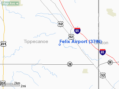
Felix Airport
Address:
Tippecanoe County, IN
Tel:
317-523-3384
Images
and information placed above are from
http://www.airport-data.com/airport/37IN/
We
thank them for the data!
| General
Info |
| Country |
United
States |
| State |
INDIANA
|
| FAA ID |
37IN |
| Latitude |
40-17-30.129N
|
| Longitude |
086-46-49.022W
|
| Elevation |
750 feet
|
| Near City |
STOCKWELL
|
We don't guarantee the information is fresh and accurate. The data may
be wrong or outdated.
For more up-to-date information please refer to other sources.
|
|


