 |
|
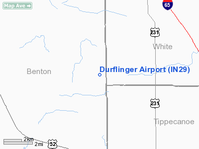
Location
& QuickFacts
|
FAA
Information Effective: |
2007-12-20 |
|
Airport
Identifier: |
IN29 |
|
Airport
Status: |
Operational |
|
Longitude/Latitude: |
087-06-13.0540W/40-34-25.1300N
-87.103626/40.573647 (Estimated) |
|
Elevation: |
747 ft / 227.69 m (Estimated) |
|
Land: |
0 acres |
|
From nearest
city: |
5 nautical miles N of Otterbein, IN |
|
Location: |
Benton County, IN |
|
Magnetic
Variation: |
02W (1985) |
Owner & Manager
|
Ownership: |
Privately
owned |
|
Address: |
|
|
Manager: |
Tommy A. Durflinger |
|
Address: |
Rr, Box 298
Otterbein, IN 47970 |
|
Phone
number: |
317-583-4523 |
Airport Operations
and Facilities
|
Airport Use: |
Private |
|
Wind
indicator: |
Yes |
|
Segmented
Circle: |
No |
|
Control
Tower: |
No |
|
Landing
fee charge: |
No |
|
Sectional
chart: |
Chicago |
|
Region: |
AGL - Great Lakes |
|
Boundary
ARTCC: |
ZAU - Chicago |
|
Tie-in
FSS: |
HUF - Terre Haute |
|
FSS on
Airport: |
No |
|
FSS Toll
Free: |
1-800-WX-BRIEF |
Airport Services
|
Airframe
Repair: |
NONE |
|
Power
Plant Repair: |
NONE |
|
Runway Information
Runway 09/27
|
Dimension: |
3600 x 132 ft
/ 1097.3 x 40.2 m |
|
Surface: |
TURF, |
|
|
Runway 09 |
Runway 27 |
|
Traffic
Pattern: |
Left |
Left |
|
Radio Navigation
Aids
|
ID |
Type |
Name |
Ch |
Freq |
Var |
Dist |
|
MCX |
NDB |
White County |
|
377.00 |
03W |
17.6 nm |
|
RZL |
NDB |
Rensselaer |
|
362.00 |
02W |
22.7 nm |
|
FKR |
NDB |
Frankfort |
|
278.00 |
02W |
30.7 nm |
|
GGP |
NDB |
Logansport |
|
263.00 |
01W |
34.3 nm |
|
CFJ |
NDB |
Crawfordsville |
|
388.00 |
02W |
36.7 nm |
|
RWN |
NDB |
Winamac/dcmsnd |
|
335.00 |
00W |
38.6 nm |
|
IKK |
VOR/DME |
Kankakee |
053X |
111.60 |
00E |
45.4 nm |
|
RBS |
VOR/DME |
Roberts |
115X |
116.80 |
02E |
48.4 nm |
|
OXI |
VOR/DME |
Knox |
103X |
115.60 |
00E |
49.5 nm |
|
BVT |
VORTAC |
Boiler |
098X |
115.10 |
01E |
1.9 nm |
|
DNV |
VORTAC |
Danville |
047X |
111.00 |
02E |
26.7 nm |
|
GUS |
VORTAC |
Grissom |
21Y |
108.45 |
02W |
43.6 nm |
|
OKK |
VORTAC |
Kokomo |
082X |
113.50 |
00E |
47.8 nm |
Based Aircraft
|
Aircraft
based on field: |
1 |
|
Single Engine
Airplanes: |
1 |
Durflinger Airport
Address:
Benton County, IN
Tel:
317-583-4523
Images
and information placed above are from
http://www.airport-data.com/airport/IN29/
We
thank them for the data!
| General
Info |
| Country |
United
States |
| State |
INDIANA
|
| FAA ID |
IN29 |
| Latitude |
40-34-25.130N
|
| Longitude |
087-06-13.054W
|
| Elevation |
747 feet
|
| Near City |
OTTERBEIN
|
We don't guarantee the information is fresh and accurate. The data may
be wrong or outdated.
For more up-to-date information please refer to other sources.
|
|


