|
|
|
 |
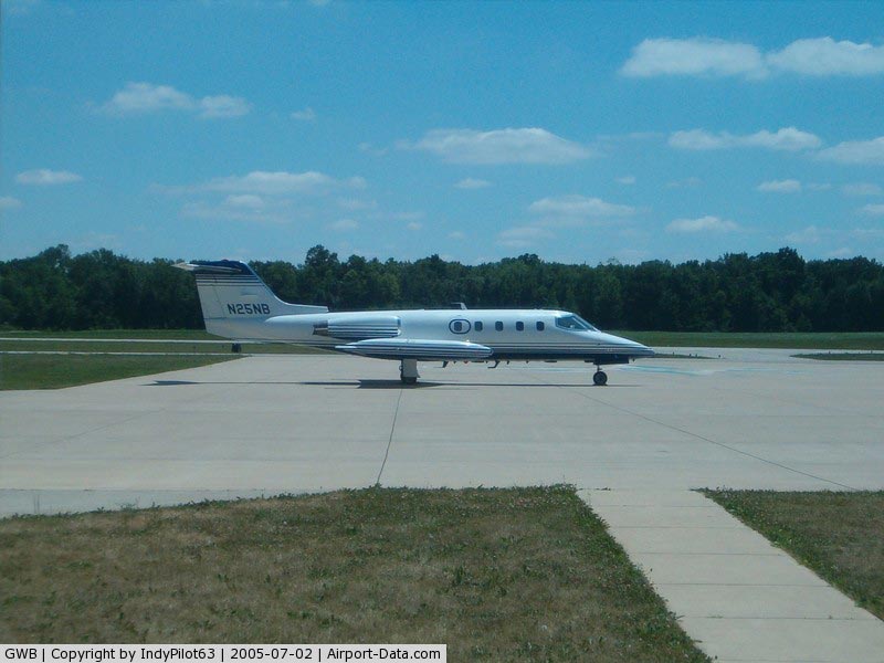
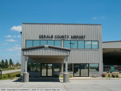
(Click on the photo to enlarge) |
|
 |
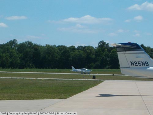
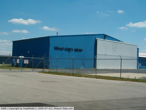
(Click on the photo to enlarge) |
|
 |
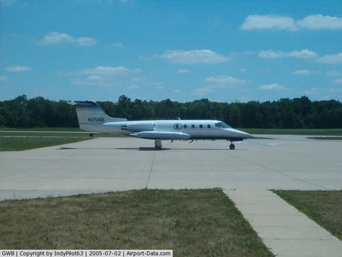
(Click on the photo to enlarge) |
|
 |
(Click on the photo to enlarge) |
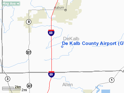
Location
& QuickFacts
|
FAA
Information Effective: |
2007-12-20 |
|
Airport
Identifier: |
GWB |
|
Airport
Status: |
Operational |
|
Longitude/Latitude: |
085-03-51.7000W/41-18-25.8000N
-85.064361/41.307167 (Estimated) |
|
Elevation: |
880 ft / 268.22 m (Surveyed) |
|
Land: |
600 acres |
|
From nearest
city: |
3 nautical miles S of Auburn, IN |
|
Location: |
De Kalb County, IN |
|
Magnetic
Variation: |
05W (2000) |
Owner & Manager
|
Ownership: |
Publicly
owned |
|
Owner: |
De Kalb County Boac |
|
Address: |
2710 Cr 60
Auburn, IN 46706 |
|
Phone
number: |
260-357-4141 |
|
Manager: |
Russ Couchman |
|
Address: |
2710 Cr 60
Auburn, IN 46706 |
|
Phone
number: |
260-927-8876 |
Airport
Operations and Facilities
|
Airport
Use: |
Open
to public |
|
Wind indicator: |
Yes |
|
Segmented
Circle: |
No |
|
Control
Tower: |
No |
|
Lighting
Schedule: |
DUSK-DAWN
ACTVT MIRL RY 09/27; VASI RYS 09 & 27; REIL RYS 09 &
27 MALSR RY 27 - CTAF. |
|
Beacon
Color: |
Clear-Green (lighted land airport) |
|
Landing
fee charge: |
No |
|
Sectional
chart: |
Chicago |
|
Region: |
AGL - Great Lakes |
|
Boundary
ARTCC: |
ZAU - Chicago |
|
Tie-in
FSS: |
HUF - Terre Haute |
|
FSS on
Airport: |
No |
|
FSS Toll
Free: |
1-800-WX-BRIEF |
|
NOTAMs
Facility: |
HUF (NOTAM-d service avaliable) |
|
Federal
Agreements: |
NGY |
Airport Communications
|
CTAF: |
123.000 |
|
Unicom: |
123.000
|
Airport
Services
|
Fuel
available: |
100LLA |
|
Airframe
Repair: |
MINOR |
|
Power
Plant Repair: |
MINOR |
|
Bottled
Oxygen: |
NONE |
|
Bulk Oxygen: |
NONE |
|
Runway Information
Runway 09/27
|
Dimension: |
5000 x 100 ft
/ 1524.0 x 30.5 m |
|
Surface: |
ASPH, Good Condition |
|
Surface Treatment: |
Saw-cut or plastic Grooved |
|
Edge Lights: |
Medium |
|
|
Runway 09 |
Runway 27 |
|
Longitude: |
085-04-24.4068W |
085-03-18.9129W |
|
Latitude: |
41-18-25.4919N |
41-18-26.0752N |
|
Elevation: |
870.00 ft |
879.00 ft |
|
Alignment: |
89 |
127 |
|
ILS Type: |
|
ILS |
|
Traffic
Pattern: |
Left |
Left |
|
Markings: |
Non-precision instrument, Fair Condition |
Non-precision instrument, Fair Condition |
|
Crossing
Height: |
42.00 ft |
41.00 ft |
|
VASI: |
2-box on left side |
2-box on left side |
|
Visual Glide
Angle: |
3.00° |
3.00° |
|
Approach
lights: |
|
MALSR |
|
Runway End
Identifier: |
Yes |
Yes |
|
Centerline
Lights: |
No |
No |
|
Touchdown
Lights: |
No |
No |
|
Obstruction: |
13 ft trees, 700.0 ft from runway, 38:1 slope
to clear |
39 ft pline, 1100.0 ft from runway, 23:1 slope
to clear |
|
Radio Navigation
Aids
|
ID |
Type |
Name |
Ch |
Freq |
Var |
Dist |
|
ANQ |
NDB |
Angola |
|
347.00 |
05W |
20.0 nm |
|
DFI |
NDB |
Defiance |
|
246.00 |
05W |
28.8 nm |
|
BYN |
NDB |
Bryan |
|
260.00 |
04W |
28.9 nm |
|
HHG |
NDB |
Huntington |
|
417.00 |
03W |
32.6 nm |
|
VFU |
NDB |
Stanley |
|
411.00 |
05W |
33.6 nm |
|
IRS |
NDB |
Sturgis |
|
382.00 |
04W |
34.7 nm |
|
USE |
NDB |
Fulton |
|
375.00 |
05W |
45.7 nm |
|
HAI |
NDB |
Three Rivers |
|
407.00 |
02W |
45.8 nm |
|
IWH |
NDB |
Wabash |
|
329.00 |
03W |
46.6 nm |
|
OLK |
VOR |
Wolf Lake |
|
110.40 |
03W |
19.9 nm |
|
LFD |
VOR/DME |
Litchfield |
049X |
111.20 |
05W |
47.3 nm |
|
FWA |
VORTAC |
Fort Wayne |
125X |
117.80 |
00E |
20.5 nm |
|
GSH |
VORTAC |
Goshen |
084X |
113.70 |
00E |
45.4 nm |
|
FWA |
VOT |
Fort Wayne Baer |
|
111.00 |
|
20.6 nm |
Based Aircraft
|
Aircraft
based on field: |
56 |
|
Single Engine
Airplanes: |
43 |
|
Multi Engine Airplanes: |
6 |
|
Jet Engine Airplanes: |
7 |
Operational Statistics
Time
Period: 2004-01-02 - 2004-12-31
|
Aircraft
Operations: |
49/Day |
|
Air Taxi: |
5.0% |
|
General Aviation
Local: |
85.0% |
|
General Aviation
Itinerant: |
10.0% |
De Kalb County Airport
Address:
De Kalb County, IN
Tel:
260-357-4141,
260-927-8876
Images
and information placed above are from
http://www.airport-data.com/airport/GWB/
We
thank them for the data!
| General
Info |
| Country |
United
States |
| State |
INDIANA
|
| FAA ID |
GWB |
| Time |
UTC-5(-4DT)
|
| Latitude |
41.307167
41° 18' 25.80" N |
| Longitude |
-85.064361
085° 03' 51.70" W |
| Elevation |
880 feet
268 meters |
| Type |
Civil
|
| Magnetic
Variation |
005° W
(01/06) |
| Beacon |
Yes |
| Operating
Agency |
U.S.CIVIL
AIRPORT WHEREIN PERMIT COVERS USE BY TRANSIT MILITARY AIRCRAFT |
| Near City |
Auburn
|
| Operating
Hours |
SEE REMARKS
FOR OPERATING HOURS OR COMMUNICATIONS FOR POSSIBLE HOURS |
We don't guarantee the information is fresh and accurate. The data may
be wrong or outdated.
For more up-to-date information please refer to other sources.
|
|