|
|
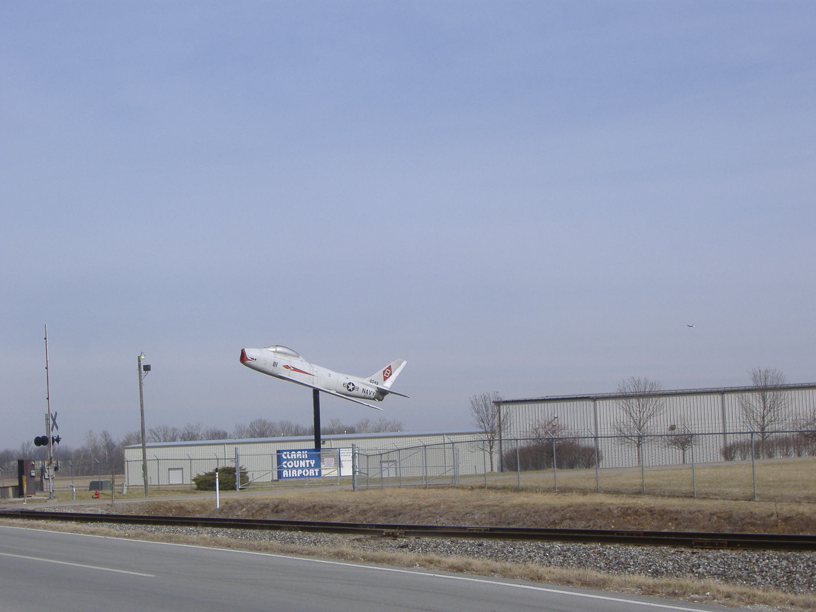
| Clark Regional Airport |
 |
| IATA: none â ICAO: KJVY â FAA LID: JVY |
| Summary |
| Airport type |
Public |
| Owner |
Clark County Board Aviation Commission |
| Serves |
Clark County |
| Location |
Jeffersonville / Sellersburg |
| Elevation AMSL |
474 ft / 144 m |
| Coordinates |
38°21â²56â³N 085°44â²18â³W / 38.36556°N 85.73833°W / 38.36556; -85.73833 |
| Website |
ClarkRegionalAirport.com |
| Runways |
| Direction |
Length |
Surface |
| ft |
m |
| 18/36 |
5,500 |
1,676 |
Asphalt |
| 14/32 |
3,899 |
1,188 |
Asphalt |
| Statistics (2006) |
| Aircraft operations |
96,413 |
| Based aircraft |
146 |
| Source: Federal Aviation Administration |
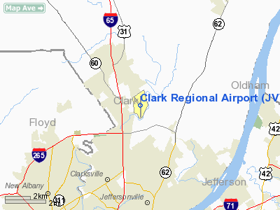
Clark Regional Airport (ICAO: KJVY, FAA LID: JVY), often referred to as the Clark County Airport, is a public airport five miles (8 km) north of the central business district of Jeffersonville, a city in Clark County, Indiana, United States. It is owned by the Clark County Board Aviation Commission. The airport, located in town of Sellersburg, Indiana, is also seven miles (11 km) north of Louisville, Kentucky.
Although most U.S. airports use the same three-letter location identifier for the FAA and IATA, Clark Regional Airport is assigned JVY by the FAA but has no designation from the IATA. History
Clark Regional Airport has been in operation since 1981. It has lost money every year since 2003, when for the first time it was not helped with property taxes. Its 2006 deficit was $50,000.
Facilities and aircraft
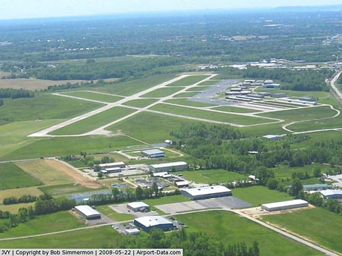
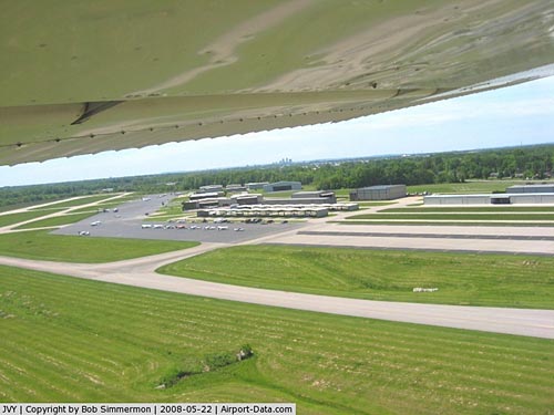
Clark Regional Airport covers an area of 420 acres (170 ha) and stands 474 ft (144 m). above sea level. It contains two asphalt paved runways: 18/36 measuring 5,500 x 100 ft (1,676 x 30 m) and 14/32 which measures 3,899 x 75 ft (1,188 x 23 m).
For the 12-month period ending September 8, 2006, the airport had 96,413 aircraft operations, an average of 264 per day: 88% general aviation, 12% air taxi and <1% military. There are 146 aircraft based at this airport: 77% single-engine, 10% multi-engine, 8% helicopter and 5% jet.
The above content comes from Wikipedia and is published under free licenses – click here to read more.
|
 |
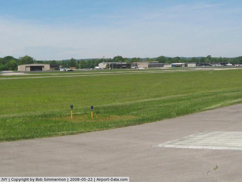
(Click on the photo to enlarge) |
|
 |
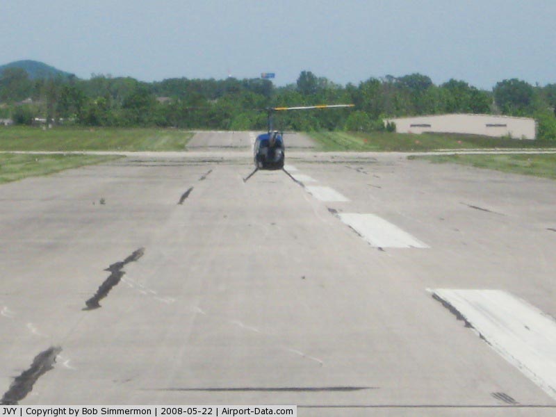
(Click on the photo to enlarge) |
|
 |
(Click on the photo to enlarge) |
|
 |
(Click on the photo to enlarge) |
Location
& QuickFacts
|
FAA
Information Effective: |
2007-12-20 |
|
Airport
Identifier: |
JVY |
|
Airport
Status: |
Operational |
|
Longitude/Latitude: |
085-44-17.5000W/38-21-55.5000N
-85.738194/38.365417 (Estimated) |
|
Elevation: |
474 ft / 144.48 m (Estimated) |
|
Land: |
420 acres |
|
From nearest
city: |
5 nautical miles N of Jeffersonville, IN |
|
Location: |
Clark County, IN |
|
Magnetic
Variation: |
02W (1990) |
Owner
& Manager
|
Ownership: |
Publicly
owned |
|
Owner: |
Clark Cty Board Avn Commsn
AUSTIN ALLEN |
|
Address: |
7001 Airport Dr
Sellersburg,
IN 47172 |
|
Phone
number: |
812-246-5491 |
|
Manager: |
William E. Happel |
|
Address: |
7001 Airport Dr
Sellersburg,
IN 47172 |
|
Phone
number: |
812-246-5491 |
Airport
Operations and Facilities
|
Airport
Use: |
Open
to public |
|
Wind indicator: |
Yes |
|
Segmented
Circle: |
Yes |
|
Control
Tower: |
No |
|
Lighting
Schedule: |
DUSK-DAWN
MIRL RY 18/36 OPERS DUSK-DAWN, ACTVT REIL RY 18/36, &
VASI 18 & 36 AND MALSR RY 18 - CTAF.
ALL LIGHTING
RY 14/32 BY PRIOR REQUEST, CALL 812-246-5491. |
|
Beacon
Color: |
Clear-Green (lighted land airport) |
|
Sectional
chart: |
St Louis |
|
Region: |
AGL - Great Lakes |
|
Traffic
Pattern Alt: |
800 ft |
|
Boundary
ARTCC: |
ZID - Indianapolis |
|
Tie-in
FSS: |
HUF - Terre Haute |
|
FSS on
Airport: |
No |
|
FSS Toll
Free: |
1-800-WX-BRIEF |
|
NOTAMs
Facility: |
HUF (NOTAM-d service avaliable) |
|
Federal
Agreements: |
NGY |
Airport Communications
|
CTAF: |
122.700 |
|
Unicom: |
122.700
|
Airport
Services
|
Fuel
available: |
100LLA |
|
Airframe
Repair: |
MAJOR |
|
Power
Plant Repair: |
MAJOR |
|
Bottled
Oxygen: |
HIGH |
|
Bulk Oxygen: |
HIGH |
|
Runway Information
Runway 14/32
|
Dimension: |
3899 x 75 ft
/ 1188.4 x 22.9 m |
|
Surface: |
ASPH, Good Condition |
|
Weight Limit: |
Single wheel: 12000 lbs. |
|
Edge Lights: |
Medium |
|
|
Runway 14 |
Runway 32 |
|
Longitude: |
085-44-35.4116W |
085-44-02.6448W |
|
Latitude: |
38-22-14.7072N |
38-21-46.0665N |
|
Elevation: |
469.00 ft |
461.00 ft |
|
Alignment: |
127 |
127 |
|
Traffic
Pattern: |
Left |
Left |
|
Markings: |
Basic, Fair Condition |
Basic, Fair Condition |
|
Crossing
Height: |
40.00 ft |
43.00 ft |
|
VASI: |
2-light PAPI on left side |
2-light PAPI on left side |
|
Visual Glide
Angle: |
3.00° |
3.38° |
|
Runway End
Identifier: |
Yes |
Yes |
|
Obstruction: |
40 ft trees, 1125.0 ft from runway, 20 ft left
of centerline, 23:1 slope to clear |
, 50:1 slope to clear |
|
Runway 18/36
|
Dimension: |
5500 x 100 ft
/ 1676.4 x 30.5 m |
|
Surface: |
ASPH, Good Condition |
|
Surface Treatment: |
Saw-cut or plastic Grooved |
|
Weight Limit: |
Single wheel: 45000 lbs.
Dual wheel: 60000 lbs. |
|
Edge Lights: |
Medium |
|
|
Runway 18 |
Runway 36 |
|
Longitude: |
085-44-16.3830W |
085-44-16.3567W |
|
Latitude: |
38-22-19.2811N |
38-21-24.9123N |
|
Elevation: |
474.00 ft |
461.00 ft |
|
Alignment: |
127 |
127 |
|
ILS Type: |
ILS |
|
|
Traffic
Pattern: |
Left |
Left |
|
Markings: |
Precision instrument, Fair Condition |
Precision instrument, Fair Condition |
|
Crossing
Height: |
27.00 ft |
25.00 ft |
|
VASI: |
2-box on left side |
2-box on left side |
|
Visual Glide
Angle: |
3.00° |
3.33° |
|
Approach
lights: |
MALSR |
|
|
Runway End
Identifier: |
Yes |
Yes |
|
Obstruction: |
70 ft pline, 3150.0 ft from runway, 894 ft
left of centerline, 42:1 slope to clear |
62 ft tree, 1700.0 ft from runway, 24:1 slope
to clear |
|
Radio Navigation
Aids
|
ID |
Type |
Name |
Ch |
Freq |
Var |
Dist |
|
GOI |
NDB |
Godman |
|
396.00 |
02W |
26.9 nm |
|
IMS |
NDB |
Madison |
|
404.00 |
03W |
27.1 nm |
|
EQZ |
NDB |
Captain |
|
308.00 |
02W |
32.1 nm |
|
BRY |
NDB |
Bardstown/dcmsnd |
|
248.00 |
02W |
33.4 nm |
|
RRJ |
NDB |
Oranj |
|
368.00 |
02W |
38.4 nm |
|
OVO |
NDB |
North Vernon |
|
374.00 |
02W |
41.6 nm |
|
BFR |
NDB |
Bedford |
|
344.00 |
02W |
43.5 nm |
|
FEU |
NDB |
Arnold |
|
521.00 |
03W |
44.3 nm |
|
TEL |
NDB |
Tell City |
|
206.00 |
02W |
49.7 nm |
|
IKY |
NDB |
Springfield |
|
429.00 |
03W |
49.9 nm |
|
MYS |
VOR |
Mystic |
|
108.20 |
01W |
37.1 nm |
|
FFT |
VOR |
Frankfort |
|
109.40 |
03W |
40.7 nm |
|
BQM |
VOR/DME |
Bowman |
059X |
112.20 |
01W |
8.8 nm |
|
FTK |
VOR/DME |
Fort Knox |
033X |
109.60 |
01W |
29.7 nm |
|
EWO |
VOR/DME |
New Hope |
045X |
110.80 |
01E |
44.2 nm |
|
ABB |
VORTAC |
Nabb |
071X |
112.40 |
01E |
14.3 nm |
|
IIU |
VORTAC |
Louisville |
095X |
114.80 |
01E |
17.5 nm |
|
SDF |
VOT |
Louisville Standifd |
|
111.00 |
|
11.3 nm |
Remarks
- HIGH
INTENSITY STUDENT ACTIVITY.
- DEER
& BIRDS ON & INVOF ARPT.
Based Aircraft
|
Aircraft
based on field: |
146 |
|
Single Engine
Airplanes: |
113 |
|
Multi Engine Airplanes: |
14 |
|
Jet Engine Airplanes: |
8 |
|
Helicopters: |
11 |
Operational Statistics
Time
Period: 2005-09-09 - 2006-09-08
|
Aircraft
Operations: |
265/Day |
|
Air Taxi: |
11.8% |
|
General Aviation
Local: |
40.3% |
|
General Aviation
Itinerant: |
47.9% |
|
Military: |
0.0% |
Clark Regional Airport
Address:
Clark County, IN
Tel:
812-246-5491
Images
and information placed above are from
http://www.airport-data.com/airport/JVY/
We
thank them for the data!
| General
Info |
| Country |
United
States |
| State |
INDIANA
|
| FAA ID |
JVY |
| Latitude |
38-21-55.500N
|
| Longitude |
085-44-17.500W
|
| Elevation |
474 feet
|
| Near City |
JEFFERSONVILLE
|
We don't guarantee the information is fresh and accurate. The data may
be wrong or outdated.
For more up-to-date information please refer to other sources.
|
|