|
|
|
 |
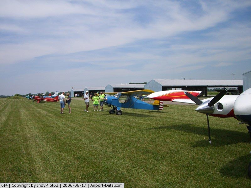
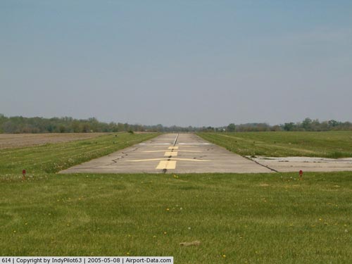
(Click on the photo to enlarge) |
|
 |
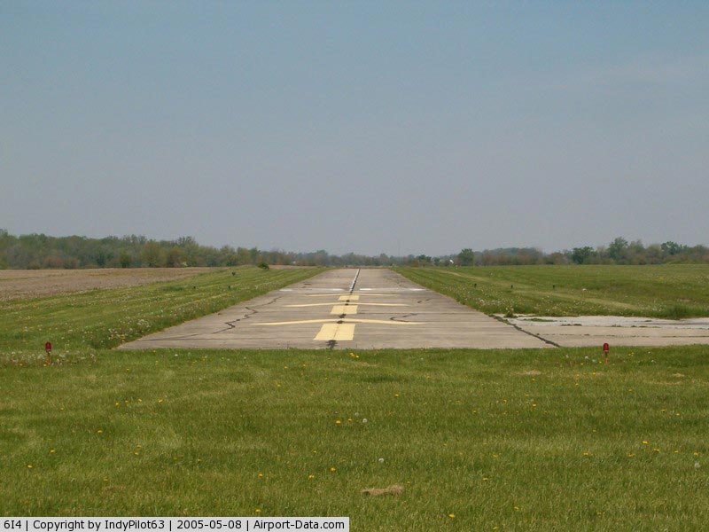
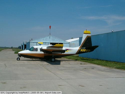
(Click on the photo to enlarge) |
|
 |
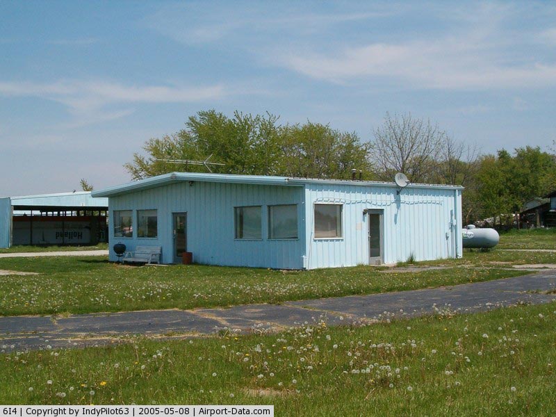
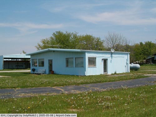
(Click on the photo to enlarge) |
|
 |
(Click on the photo to enlarge) |
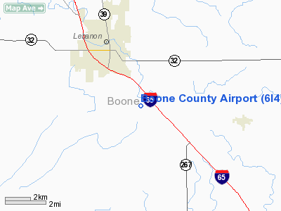
Location
& QuickFacts
|
FAA
Information Effective: |
2007-12-20 |
|
Airport
Identifier: |
6I4 |
|
Airport
Status: |
Operational |
|
Longitude/Latitude: |
086-26-25.9990W/40-00-26.1490N
-86.440555/40.007264 (Estimated) |
|
Elevation: |
959 ft / 292.30 m (Estimated) |
|
Land: |
177 acres |
|
From nearest
city: |
2 nautical miles SE of Lebanon, IN |
|
Location: |
Boone County, IN |
|
Magnetic
Variation: |
02W (1985) |
Owner & Manager
|
Ownership: |
Privately
owned |
|
Owner: |
Bill Dugan/eugene Henderson |
|
Address: |
1600 Indianapolis Blvd.
Indianapolis,
IN 46254 |
|
Phone
number: |
765-299-2299 |
|
Manager: |
Wayne Deckard |
|
Address: |
1600 E 250 S
Lebanon, IN 46052 |
|
Phone
number: |
(317) 370-7930 |
Airport
Operations and Facilities
|
Airport
Use: |
Open
to public |
|
Wind indicator: |
Yes |
|
Segmented
Circle: |
No |
|
Control
Tower: |
No |
|
Lighting
Schedule: |
DUSK-DAWN
ACTVT LIRL RY 18/36 - 122.8 |
|
Beacon
Color: |
Clear-Green (lighted land airport) |
|
Landing
fee charge: |
No |
|
Sectional
chart: |
Chicago |
|
Region: |
AGL - Great Lakes |
|
Traffic
Pattern Alt: |
941 ft |
|
Boundary
ARTCC: |
ZAU - Chicago |
|
Responsible
ARTCC: |
ZID - Indianapolis |
|
Tie-in
FSS: |
HUF - Terre Haute |
|
FSS on
Airport: |
No |
|
FSS Toll
Free: |
1-800-WX-BRIEF |
|
NOTAMs
Facility: |
HUF (NOTAM-d service avaliable) |
Airport Communications
|
CTAF: |
122.800 |
|
Unicom: |
122.800
|
Airport Services
|
Airframe
Repair: |
MAJOR |
|
Power
Plant Repair: |
MAJOR |
|
Bottled
Oxygen: |
NONE |
|
Bulk Oxygen: |
NONE |
|
Runway Information
Runway 18/36
|
Dimension: |
3600 x 30 ft
/ 1097.3 x 9.1 m |
|
Surface: |
CONC, Poor Condition
LOOSE GRAVEL & CRACKS. |
|
Weight Limit: |
Single wheel: 10500 lbs. |
|
Edge Lights: |
Non-standard lighting system
RWY 18/36 NSTD LIRL - LIGHTS 24' FROM RWY EDGE. |
|
|
Runway 18 |
Runway 36 |
|
Longitude: |
086-26-25.4900W |
086-26-25.4900W |
|
Latitude: |
40-00-49.7200N |
40-00-14.1500N |
|
Elevation: |
950.00 ft |
959.00 ft |
|
Traffic
Pattern: |
Left |
Left |
|
Markings: |
Basic, Fair Condition |
Basic, Fair Condition |
|
Displaced
threshold: |
0.00 ft |
200.00 ft |
|
Runway End
Identifier: |
No |
No |
|
Centerline
Lights: |
No |
No |
|
Touchdown
Lights: |
No |
No |
|
Obstruction: |
10 ft crops, 201.0 ft from runway
RWY 18 -15 FT CREEK 37 FT FM RY END ON CNTRLN; 5 FT BRUSH
80 FT FM RY END. |
10 ft crops, 201.0 ft from runway
APCH RATIO 21:1 TO DSPLCD THR.
ROAD 112 FT RM RY END; 4 FT FENCE 96 FT FM RY END. |
|
Radio Navigation
Aids
|
ID |
Type |
Name |
Ch |
Freq |
Var |
Dist |
|
HZP |
NDB |
Zionsville |
|
248.00 |
03W |
9.7 nm |
|
FKR |
NDB |
Frankfort |
|
278.00 |
02W |
16.8 nm |
|
UMP |
NDB |
Metropolitan |
|
338.00 |
03W |
18.5 nm |
|
CFJ |
NDB |
Crawfordsville |
|
388.00 |
02W |
21.9 nm |
|
TVX |
NDB |
Greencastle |
|
521.00 |
03W |
24.4 nm |
|
HFY |
NDB |
Greenwood |
|
398.00 |
02W |
27.7 nm |
|
GGP |
NDB |
Logansport |
|
263.00 |
01W |
42.3 nm |
|
AI |
NDB |
Video |
|
371.00 |
03W |
43.0 nm |
|
MCX |
NDB |
White County |
|
377.00 |
03W |
44.8 nm |
|
MZZ |
VOR/DME |
Marion |
023X |
108.60 |
03W |
45.5 nm |
|
VHP |
VORTAC |
Brickyard |
110X |
116.30 |
01E |
12.1 nm |
|
OKK |
VORTAC |
Kokomo |
082X |
113.50 |
00E |
35.9 nm |
|
SHB |
VORTAC |
Shelbyville |
057X |
112.00 |
01E |
36.3 nm |
|
GUS |
VORTAC |
Grissom |
21Y |
108.45 |
02W |
40.5 nm |
|
BVT |
VORTAC |
Boiler |
098X |
115.10 |
01E |
43.8 nm |
|
TTH |
VORTAC |
Terre Haute |
100X |
115.30 |
02E |
48.6 nm |
|
IND |
VOT |
Indianapolis Intl |
|
109.60 |
|
18.5 nm |
Remarks
- -3
FT DRAINAGE DITCH WITHIN PRIM SFC FM 50 FT E & 50 FT W OF CL.
- ULTRALGTS
ON & INVOF ARPT.
Based Aircraft
|
Aircraft
based on field: |
32 |
|
Single Engine
Airplanes: |
24 |
|
Multi Engine Airplanes: |
2 |
|
Ultralights: |
6 |
Operational Statistics
Time
Period: 2005-03-03 - 2006-03-02
|
Aircraft
Operations: |
129/Week |
|
General Aviation
Local: |
57.0% |
|
General Aviation
Itinerant: |
43.0% |
Boone County Airport
Address:
Boone County, IN
Tel:
765-299-2299
Images
and information placed above are from
http://www.airport-data.com/airport/6I4/
We
thank them for the data!
| General
Info |
| Country |
United
States |
| State |
INDIANA
|
| FAA ID |
6I4 |
| Latitude |
40-00-26.149N
|
| Longitude |
086-26-25.999W
|
| Elevation |
959 feet
|
| Near City |
LEBANON
|
We don't guarantee the information is fresh and accurate. The data may
be wrong or outdated.
For more up-to-date information please refer to other sources.
|
|