 |
|
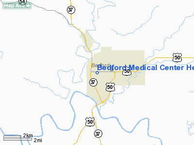
Bedford Medical Center Heliport |
Location
& QuickFacts
|
FAA
Information Effective: |
2007-12-20 |
|
Airport
Identifier: |
57IN |
|
Airport
Status: |
Operational |
|
Longitude/Latitude: |
086-30-42.9760W/38-51-35.1820N
-86.511938/38.859773 (Estimated) |
|
Elevation: |
660 ft / 201.17 m (Estimated) |
|
Land: |
0 acres |
|
From nearest
city: |
0 nautical miles N of Bedford, IN |
|
Location: |
Lawrence County, IN |
|
Magnetic
Variation: |
01W (1985) |
Owner
& Manager
|
Ownership: |
Privately
owned |
|
Owner: |
Richard D. Hawkins, M.d. |
|
Address: |
2900 W. 16th Street
Bedford,
IN 47421 |
|
Phone
number: |
812-279-3581 |
|
Address: |
|
Airport Operations
and Facilities
|
Airport
Use: |
Private
MEDICAL USE. |
|
Segmented
Circle: |
No |
|
Control
Tower: |
No |
|
Sectional
chart: |
St Louis |
|
Region: |
AGL - Great Lakes |
|
Boundary
ARTCC: |
ZID - Indianapolis |
|
Tie-in
FSS: |
HUF - Terre Haute |
|
FSS Toll
Free: |
1-800-WX-BRIEF |
|
Runway Information
Helipad H1
|
Dimension: |
40 x 40 ft /
12.2 x 12.2 m |
|
Surface: |
CONC, |
|
|
Runway H1 |
Runway |
|
Traffic
Pattern: |
Left |
Left |
|
Radio Navigation
Aids
|
ID |
Type |
Name |
Ch |
Freq |
Var |
Dist |
|
BFR |
NDB |
Bedford |
|
344.00 |
02W |
3.7 nm |
|
BM |
NDB |
Claye |
|
382.00 |
02W |
12.5 nm |
|
RRJ |
NDB |
Oranj |
|
368.00 |
02W |
20.0 nm |
|
EQZ |
NDB |
Captain |
|
308.00 |
02W |
25.2 nm |
|
DCY |
NDB |
Washington |
|
212.00 |
03W |
30.7 nm |
|
FNZ |
NDB |
Ferdinand |
|
239.00 |
00E |
39.8 nm |
|
BA |
NDB |
Clifs |
|
410.00 |
03W |
42.6 nm |
|
OVO |
NDB |
North Vernon |
|
374.00 |
02W |
44.1 nm |
|
SIV |
NDB |
Sullivan |
|
326.00 |
02W |
46.3 nm |
|
IMS |
NDB |
Madison |
|
404.00 |
03W |
49.6 nm |
|
OEA |
NDB |
Vincennes |
|
251.00 |
00E |
49.9 nm |
|
HNB |
VOR/DME |
Huntingburg |
029X |
109.20 |
00E |
42.2 nm |
|
OOM |
VORTAC |
Hoosier |
039X |
110.20 |
02W |
17.7 nm |
|
ABB |
VORTAC |
Nabb |
071X |
112.40 |
01E |
44.2 nm |
Remarks
- PRVDD
THAT APCH/DEP OPERATIONS CONDUCTED IN 180 DEG TO 290 DEG & 350 DEG
TO 10 DEG; TAKEOFF/LDG ARE APCH MKD; MAINTAIN WIND INDICATOR.
Bedford Medical Center Heliport
Address:
Lawrence County, IN
Tel:
812-279-3581
Images
and information placed above are from
http://www.airport-data.com/airport/57IN/
We
thank them for the data!
| General
Info |
| Country |
United
States |
| State |
INDIANA
|
| FAA ID |
57IN |
| Latitude |
38-51-35.182N
|
| Longitude |
086-30-42.976W
|
| Elevation |
660 feet
|
| Near City |
BEDFORD
|
We don't guarantee the information is fresh and accurate. The data may
be wrong or outdated.
For more up-to-date information please refer to other sources.
|
|


