 |
|
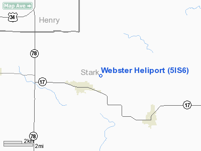
Location
& QuickFacts
|
FAA
Information Effective: |
2007-12-20 |
|
Airport
Identifier: |
5IS6 |
|
Airport
Status: |
Operational |
|
Longitude/Latitude: |
089-50-20.3770W/41-06-20.1330N
-89.838994/41.105593 (Estimated) |
|
Elevation: |
750 ft / 228.60 m (Estimated) |
|
Land: |
1 acres |
|
From nearest
city: |
1 nautical miles NE of Toulon, IL |
|
Location: |
Stark County, IL |
|
Magnetic
Variation: |
01E (1985) |
Owner & Manager
|
Ownership: |
Privately
owned |
|
Owner: |
Dwain Webster |
|
Address: |
Rt 1
Toulon, IL 61483 |
|
Phone
number: |
309-286-7230 |
|
Manager: |
Dwain Webster |
|
Address: |
Rt 1
Toulon, IL 61483 |
|
Phone
number: |
309-286-7230 |
Airport Operations
and Facilities
|
Airport Use: |
Private |
|
Wind
indicator: |
Yes |
|
Segmented
Circle: |
No |
|
Control
Tower: |
No |
|
Sectional
chart: |
Chicago |
|
Region: |
AGL - Great Lakes |
|
Boundary
ARTCC: |
ZAU - Chicago |
|
Tie-in
FSS: |
IKK - Kankakee |
|
FSS on
Airport: |
No |
|
FSS Toll
Free: |
1-800-WX-BRIEF |
Airport Services
|
Runway Information
Helipad H1
|
Dimension: |
200 x 70 ft
/ 61.0 x 21.3 m |
|
Surface: |
TURF, |
|
|
Runway H1 |
Runway |
|
Traffic
Pattern: |
Left |
Left |
|
Radio Navigation
Aids
|
ID |
Type |
Name |
Ch |
Freq |
Var |
Dist |
|
EZI |
NDB |
Kewanee |
|
245.00 |
01E |
7.9 nm |
|
PI |
NDB |
Tungg |
|
356.00 |
01E |
32.1 nm |
|
CTK |
NDB |
Canton |
|
236.00 |
02E |
34.2 nm |
|
VYS |
NDB |
Valley |
|
230.00 |
00W |
34.6 nm |
|
BOZ |
NDB |
Whiteside |
|
254.00 |
01E |
36.5 nm |
|
OIX |
NDB |
Ottawa |
|
266.00 |
01E |
47.1 nm |
|
JZY |
NDB |
Macomb |
|
251.00 |
01E |
48.2 nm |
|
CWI |
NDB |
Clinton |
|
377.00 |
01E |
48.7 nm |
|
GBG |
VOR/DME |
Galesburg |
035X |
109.80 |
03E |
28.8 nm |
|
BDF |
VORTAC |
Bradford |
094X |
114.70 |
00E |
11.8 nm |
|
PIA |
VORTAC |
Peoria |
099X |
115.20 |
04E |
25.7 nm |
|
MZV |
VORTAC |
Moline |
091X |
114.40 |
05E |
38.4 nm |
|
CVA |
VORTAC |
Davenport |
085X |
113.80 |
04E |
46.4 nm |
|
DVN |
VOT |
Davenport Municipal |
|
111.80 |
|
45.4 nm |
Remarks
- PRVDD
ALL OPNS ARE CONDD IN AREA 100-270 DEG CLKWS. ARE IS APROPLY MKD. WIND
INDCR IS MAINTD.
Based Aircraft
|
Aircraft
based on field: |
1 |
|
Helicopters: |
1 |
Webster Heliport
Address:
Stark County, IL
Tel:
309-286-7230
Images
and information placed above are from
http://www.airport-data.com/airport/5IS6/
We
thank them for the data!
| General
Info |
| Country |
United
States |
| State |
ILLINOIS
|
| FAA ID |
5IS6 |
| Latitude |
41-06-20.133N
|
| Longitude |
089-50-20.377W
|
| Elevation |
750 feet
|
| Near City |
TOULON
|
We don't guarantee the information is fresh and accurate. The data may
be wrong or outdated.
For more up-to-date information please refer to other sources.
|
|


