|
|
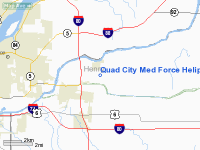
Quad City Med Force Heliport |
|
 |
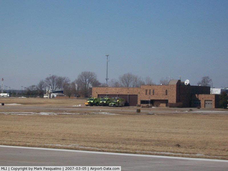
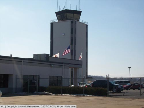
(Click on the photo to enlarge) |
|
 |
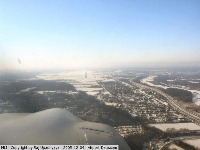
(Click on the photo to enlarge) |
|
 |
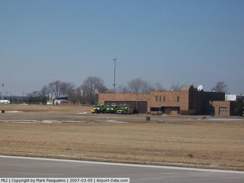
(Click on the photo to enlarge) |
Location
& QuickFacts
|
FAA
Information Effective: |
2007-12-20 |
|
Airport
Identifier: |
74IS |
|
Airport
Status: |
Operational |
|
Longitude/Latitude: |
090-18-46.0000W/41-29-39.0000N
-90.312778/41.494167 (Estimated) |
|
Elevation: |
654 ft / 199.34 m (Estimated) |
|
Land: |
0 acres |
|
From nearest
city: |
2 nautical miles E of Colona, IL |
|
Location: |
Henry County, IL |
|
Magnetic
Variation: |
00W (2000) |
Owner
& Manager
|
Ownership: |
Privately
owned |
|
Owner: |
Henry Co Emerg Svcs Center |
|
Address: |
401 1st Box 110
Colona, IL 61241 |
|
Phone
number: |
309-792-3231 |
|
Manager: |
John Swan - Fire Chief |
|
Address: |
Box 110
Colona, IL 61241 |
|
Phone
number: |
309-792-3231 |
Airport
Operations and Facilities
|
Airport
Use: |
Private |
|
Wind indicator: |
Yes |
|
Segmented
Circle: |
No |
|
Control
Tower: |
No |
|
Lighting
Schedule: |
PHONE REQ
FOR PERIMETER & FLOOD LGTS CALL 309-792-3231. |
|
Sectional
chart: |
Chicago |
|
Region: |
AGL - Great Lakes |
|
Boundary
ARTCC: |
ZAU - Chicago |
|
Tie-in
FSS: |
IKK - Kankakee |
|
FSS
Toll Free: |
1-800-WX-BRIEF |
Airport
Services
|
Runway Information
Helipad H1
|
Dimension: |
40 x 40 ft /
12.2 x 12.2 m |
|
Surface: |
CONC, |
|
|
Runway H1 |
Runway |
|
Traffic
Pattern: |
Left |
Left |
|
Radio Navigation
Aids
|
ID |
Type |
Name |
Ch |
Freq |
Var |
Dist |
|
CWI |
NDB |
Clinton |
|
377.00 |
01E |
20.1 nm |
|
EZI |
NDB |
Kewanee |
|
245.00 |
01E |
23.8 nm |
|
BOZ |
NDB |
Whiteside |
|
254.00 |
01E |
27.0 nm |
|
OQW |
NDB |
Maquoketa |
|
386.00 |
02E |
38.6 nm |
|
GBG |
VOR/DME |
Galesburg |
035X |
109.80 |
03E |
33.9 nm |
|
DDD |
VOR/DME |
Port City |
112X |
116.50 |
01E |
38.5 nm |
|
PLL |
VOR/DME |
Polo |
049X |
111.20 |
03E |
45.3 nm |
|
CVA |
VORTAC |
Davenport |
085X |
113.80 |
04E |
15.0 nm |
|
MZV |
VORTAC |
Moline |
091X |
114.40 |
05E |
18.0 nm |
|
BDF |
VORTAC |
Bradford |
094X |
114.70 |
00E |
38.4 nm |
|
DVN |
VOT |
Davenport Municipal |
|
111.80 |
|
14.1 nm |
Remarks
- PRVDD
APCH ROUTES ARE 270 AND 360, USUING A 1 STATUTE MILE CORRIDOR, DEP ROUTES
ARE 090 AND 180 OUT TO 1 STATUTE MILE, ARES IS MKD, WIND INDICATOR MAINTAINED
AND COMPLY WITH CFR 91.126(B)(2).
Based Aircraft
|
Aircraft
based on field: |
1 |
|
Helicopters: |
1 |
Quad City Med Force Heliport
Address:
Henry County, IL
Tel:
309-792-3231
Images
and information placed above are from
http://www.airport-data.com/airport/74IS/
We
thank them for the data!
| General
Info |
| Country |
United
States |
| State |
ILLINOIS
|
| FAA ID |
74IS |
| Latitude |
41-29-39.000N
|
| Longitude |
090-18-46.000W
|
| Elevation |
654 feet
|
| Near City |
COLONA
|
We don't guarantee the information is fresh and accurate. The data may
be wrong or outdated.
For more up-to-date information please refer to other sources.
|
|