|
|
Morris Municipal - James R. Washburn Field Airport |
|
 |
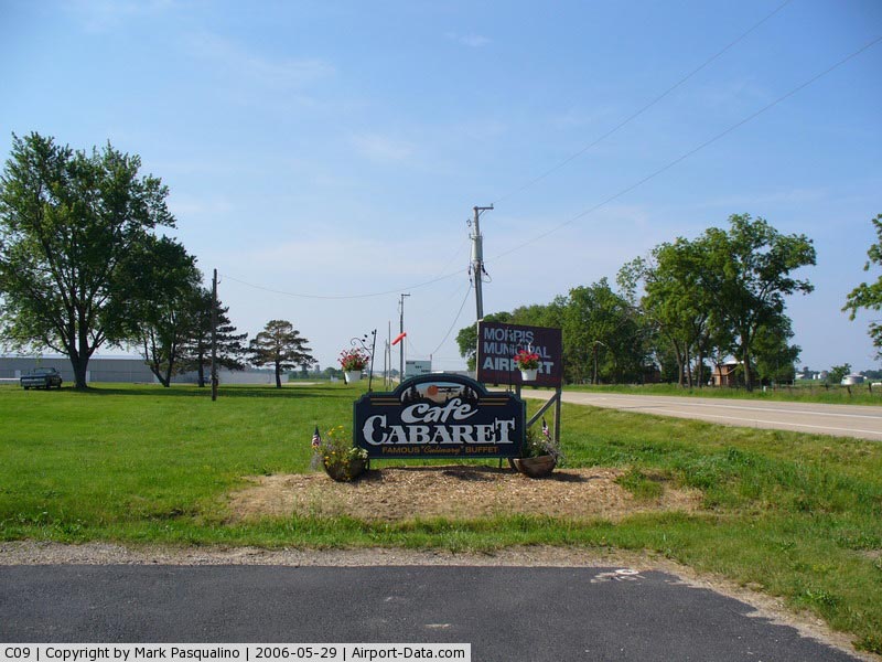
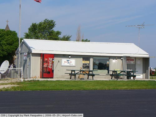
(Click on the photo to enlarge) |
|
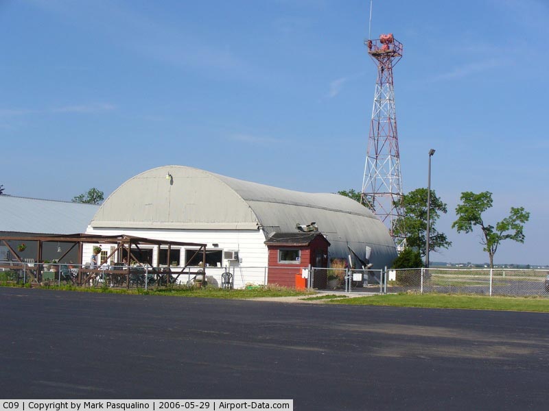
 |
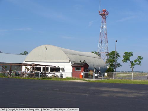
(Click on the photo to enlarge) |
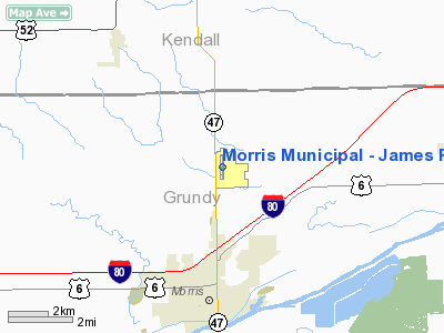
|
 |
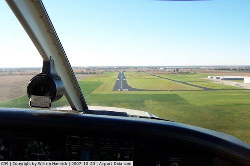
(Click on the photo to enlarge) |
|
 |
(Click on the photo to enlarge) |
Location
& QuickFacts
|
FAA
Information Effective: |
2007-12-20 |
|
Airport
Identifier: |
C09 |
|
Airport
Status: |
Operational |
|
Longitude/Latitude: |
088-25-07.3000W/41-25-31.6000N
-88.418694/41.425444 (Estimated) |
|
Elevation: |
584 ft / 178.00 m (Surveyed) |
|
Land: |
240 acres |
|
From nearest
city: |
4 nautical miles N of Morris, IL |
|
Location: |
Grundy County, IL |
|
Magnetic
Variation: |
02E (1965) |
Owner & Manager
|
Ownership: |
Publicly
owned |
|
Owner: |
City Of Morris |
|
Address: |
320 Wauponsee Street
Morris,
IL 60450 |
|
Phone
number: |
815-942-5438 |
|
Manager: |
Jeff Vogen |
|
Address: |
9980 No. Highway 47
Morris, IL 60450 |
|
Phone
number: |
815-942-1600
OUTSIDE PHONE 815-942-9776. |
Airport
Operations and Facilities
|
Airport
Use: |
Open
to public |
|
Wind indicator: |
Yes |
|
Segmented
Circle: |
Yes |
|
Control
Tower: |
No |
|
Lighting
Schedule: |
DUSK-DAWN
MIRL RY 18/36 PRESET ON LOW INTST; TO INCR INTST & ACTVT
REIL RYS 18 & 36 - CTAF. |
|
Beacon
Color: |
Clear-Green (lighted land airport) |
|
Landing
fee charge: |
No |
|
Sectional
chart: |
Chicago |
|
Region: |
AGL - Great Lakes |
|
Traffic
Pattern Alt: |
800 ft |
|
Boundary
ARTCC: |
ZAU - Chicago |
|
Tie-in
FSS: |
IKK - Kankakee |
|
FSS on
Airport: |
No |
|
FSS Toll
Free: |
1-800-WX-BRIEF |
|
NOTAMs
Facility: |
C09 (NOTAM-d service avaliable) |
|
Federal
Agreements: |
N |
Airport Communications
|
CTAF: |
122.800 |
|
Unicom: |
122.800
|
Airport
Services
|
Fuel
available: |
100LL80
A |
|
Airframe
Repair: |
MAJOR |
|
Power
Plant Repair: |
MAJOR |
|
Bottled
Oxygen: |
NONE |
|
Bulk Oxygen: |
NONE |
|
Runway Information
Runway 18/36
|
Dimension: |
4001 x 75 ft
/ 1219.5 x 22.9 m |
|
Surface: |
ASPH, Good Condition |
|
Weight Limit: |
Single wheel: 4000 lbs.
Dual wheel: 125000 lbs. |
|
Edge Lights: |
Medium |
|
|
Runway 18 |
Runway 36 |
|
Longitude: |
088-25-07.7163W |
088-25-06.7785W |
|
Latitude: |
41-25-51.3082N |
41-25-11.8006N |
|
Elevation: |
583.00 ft |
569.00 ft |
|
Alignment: |
127 |
127 |
|
Traffic
Pattern: |
Left |
Left |
|
Markings: |
Basic, Good Condition |
Basic, Good Condition |
|
Displaced
threshold: |
0.00 ft |
641.00 ft |
|
Runway End
Identifier: |
Yes |
Yes |
|
Centerline
Lights: |
No |
No |
|
Touchdown
Lights: |
No |
No |
|
Obstruction: |
64 ft tree, 1861.0 ft from runway, 132 ft right
of centerline, 25:1 slope to clear |
37 ft bldg, 3665.0 ft from runway, 453 ft right
of centerline, 50:1 slope to clear |
|
Radio Navigation
Aids
|
ID |
Type |
Name |
Ch |
Freq |
Var |
Dist |
|
OIX |
NDB |
Ottawa |
|
266.00 |
01E |
20.0 nm |
|
HK |
NDB |
Ermin |
|
332.00 |
01W |
31.6 nm |
|
VYS |
NDB |
Valley |
|
230.00 |
00W |
33.2 nm |
|
DKB |
NDB |
Dekalb |
|
209.00 |
02W |
33.2 nm |
|
ME |
NDB |
Deana |
|
350.00 |
00E |
37.0 nm |
|
MX |
NDB |
Kedzi |
|
248.00 |
01W |
37.9 nm |
|
DPA |
VOR/DME |
Dupage |
021X |
108.40 |
02E |
28.1 nm |
|
IKK |
VOR/DME |
Kankakee |
053X |
111.60 |
00E |
33.3 nm |
|
PNT |
VOR/DME |
Pontiac |
033X |
109.60 |
03E |
39.0 nm |
|
ORD |
VOR/DME |
Chicago O'hare |
086X |
113.90 |
02E |
40.9 nm |
|
JOT |
VORTAC |
Joliet |
070X |
112.30 |
02E |
8.6 nm |
|
EON |
VORTAC |
Peotone |
079X |
113.20 |
02E |
29.8 nm |
|
CGT |
VORTAC |
Chicago Heights |
089X |
114.20 |
02E |
38.5 nm |
|
MDW |
VOT |
Chicago Midway |
|
111.00 |
|
37.0 nm |
|
ORD |
VOT |
Chicago O'hare Intl |
|
112.00 |
|
40.6 nm |
Remarks
Based Aircraft
|
Aircraft
based on field: |
76 |
|
Single Engine
Airplanes: |
67 |
|
Multi Engine Airplanes: |
5 |
|
Helicopters: |
3 |
|
Gliders: |
1 |
Operational Statistics
Time
Period: 2005-01-01 - 2005-12-31
|
Aircraft
Operations: |
116/Day |
|
Air Taxi: |
2.4% |
|
General Aviation
Local: |
44.9% |
|
General Aviation
Itinerant: |
52.0% |
|
Military: |
0.7% |
Morris Municipal - James R. Washburn Field
Airport
Address:
Grundy County, IL
Tel:
815-942-5438,
815-942-1600
Images
and information placed above are from
http://www.airport-data.com/airport/C09/
We
thank them for the data!
| General
Info |
| Country |
United
States |
| State |
ILLINOIS
|
| FAA ID |
C09 |
| Latitude |
41-25-31.600N
|
| Longitude |
088-25-07.300W
|
| Elevation |
584 feet
|
| Near City |
MORRIS
|
We don't guarantee the information is fresh and accurate. The data may
be wrong or outdated.
For more up-to-date information please refer to other sources.
|
|