 |
|
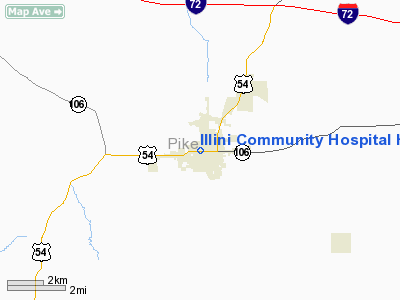
Illini Community Hospital Heliport |
|
|
Location
& QuickFacts
|
FAA
Information Effective: |
2007-12-20 |
|
Airport Identifier: |
IS44 |
|
Airport Status: |
Operational |
|
Longitude/Latitude: |
090-48-50.4650W/39-36-26.1710N
-90.814018/39.607270 (Estimated) |
|
Elevation: |
740 ft / 225.55 m (Estimated) |
|
Land: |
0 acres |
|
From
nearest city: |
4 nautical miles SW of Pittsfield, IL |
|
Location: |
Pike County, IL |
|
Magnetic Variation: |
02E (1985) |
Owner
& Manager
|
Ownership: |
Privately
owned |
|
Owner: |
Illini Community Health Care System |
|
Address: |
640 West Washington St
Pittsfield, IL 62363 |
|
Phone number: |
217-285-2113 |
|
Address: |
|
Airport Operations and Facilities
|
Airport Use: |
Private
MEDICAL USE. |
|
Wind
indicator: |
Yes |
|
Segmented Circle: |
No |
|
Control Tower: |
No |
|
Lighting Schedule: |
DUSK-DAWN |
|
Beacon
Color: |
Clear-Green-Yellow (heliport) |
|
Sectional chart: |
St Louis |
|
Region: |
AGL - Great Lakes |
|
Boundary ARTCC: |
ZKC - Kansas City |
|
Tie-in
FSS: |
STL - Saint Louis |
|
FSS
on Airport: |
No |
|
FSS
Toll Free: |
1-800-WX-BRIEF |
|
Runway Information
Helipad H1
|
Dimension: |
30
x 30 ft / 9.1 x 9.1 m |
|
Surface: |
CONC, |
|
|
Runway H1 |
Runway |
|
Traffic
Pattern: |
Left |
Left |
|
Radio Navigation
Aids
|
ID |
Type |
Name |
Ch |
Freq |
Var |
Dist |
|
PPQ |
NDB |
Pittsfield |
|
344.00 |
02E |
2.5
nm |
|
UI |
NDB |
Quincy |
|
293.00 |
02E |
26.4
nm |
|
HAE |
NDB |
Hannibal |
|
411.00 |
03E |
30.2
nm |
|
SP |
NDB |
Huskk |
|
382.00 |
01W |
49.8
nm |
|
IJX |
VOR/DME |
Jacksonville |
023X |
108.60 |
02E |
28.5
nm |
|
UIN |
VORTAC |
Quincy |
083X |
113.60 |
05E |
25.9
nm |
|
STL |
VORTAC |
St
Louis |
121X |
117.40 |
01E |
47.5
nm |
Remarks
- (E111-2)
E111 CONT'D: APROPLY MARKED & A NON-OBSTRUCTING WIND INDCR IS
MAINTD ADJ TO THE TKOF/LNDG AREA.
- E111:
PRVDD SITE IS RELCTD 75' SOUTHWEST OF THE INITIAL SUBMISSION &
TREES LCTD SOUTH OF MED. ARTS BLDG ARE REMOVED; APCH/DEP RTES ARE....
E111 CONT'D: CONDUCTED ONLY ON BEARINGS 40 DEGS & 200 DEGS FROM
THE HELI USING THE HELIPAD AS THE CENTER OF A COMPASS ROSE; TKOF/LNDG
AREA IS....
Illini Community Hospital Heliport
Address:
Pike County, IL
Tel:
217-285-2113
Images
and information placed above are from
http://www.airport-data.com/airport/IS44/
We
thank them for the data!
| General
Info |
| Country |
United
States |
| State |
ILLINOIS
|
| FAA ID |
IS44 |
| Latitude |
39-36-26.171N
|
| Longitude |
090-48-50.465W
|
| Elevation |
740 feet
|
| Near City |
PITTSFIELD
|
We don't guarantee the information is fresh and accurate. The data may
be wrong or outdated.
For more up-to-date information please refer to other sources.
|
|


