 |
|
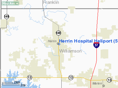
Location
& QuickFacts
|
FAA
Information Effective: |
2007-12-20 |
|
Airport
Identifier: |
5IL0 |
|
Airport
Status: |
Operational |
|
Longitude/Latitude: |
089-01-34.0000W/37-48-07.0000N
-89.026111/37.801944 (Estimated) |
|
Elevation: |
444 ft / 135.33 m (Estimated) |
|
Land: |
0 acres |
|
From
nearest city: |
0 nautical miles N of Herrin, IL |
|
Location: |
Williamson County, IL |
|
Magnetic Variation: |
00W (1995) |
Owner
& Manager
|
Ownership: |
Privately
owned |
|
Owner: |
Herrin Hospital |
|
Address: |
201 S 14th St
Herrin, IL 62948 |
|
Phone
number: |
618-942-2171 |
|
Manager: |
Somchy Suwanpratest |
|
Address: |
201 S 14th St
Herrin, IL 62948 |
|
Phone number: |
618-942-2171
EXTN 35445 |
Airport Operations and Facilities
|
Airport
Use: |
Private |
|
Segmented Circle: |
No |
|
Control
Tower: |
No |
|
Lighting
Schedule: |
24 HRS
FOR PERIMETER LGTS CALL
618-942-2171,
EXTN 35130. |
|
Beacon
Color: |
Clear-Green-Yellow (heliport) |
|
Sectional chart: |
St Louis |
|
Region: |
AGL - Great Lakes |
|
Boundary
ARTCC: |
ZKC - Kansas City |
|
Tie-in
FSS: |
COU - Columbia |
|
FSS
Toll Free: |
1-800-WX-BRIEF |
|
Runway Information
Helipad H1
|
Dimension: |
40
x 40 ft / 12.2 x 12.2 m |
|
Surface: |
ASPH,
ROOF TOP HELIPAD. |
|
|
Runway H1 |
Runway |
|
Traffic
Pattern: |
Left |
Left |
|
Radio Navigation
Aids
|
ID |
Type |
Name |
Ch |
Freq |
Var |
Dist |
|
PJY |
NDB |
Pinckneyville |
|
215.00 |
00E |
19.1
nm |
|
HSB |
NDB |
Harrisburg-raleigh |
|
230.00 |
00E |
22.8
nm |
|
SAR |
NDB |
Sparta |
|
239.00 |
01E |
38.1
nm |
|
BDD |
NDB |
Bellgrade |
|
254.00 |
00E |
43.0
nm |
|
FWC |
NDB |
Wayne
County |
|
257.00 |
01E |
45.4
nm |
|
CIR |
NDB |
Cairo |
|
397.00 |
00E |
45.5
nm |
|
CUL |
NDB |
Carmi |
|
332.00 |
01W |
46.4
nm |
|
MWA |
VOR/DME |
Marion |
041X |
110.40 |
04E |
2.9
nm |
|
VNN |
VOR/DME |
Mount
Vernon |
085X |
113.80 |
02E |
35.2
nm |
|
CGI |
VOR/DME |
Cape
Girardeau |
076X |
112.90 |
01E |
43.2
nm |
|
ENL |
VORTAC |
Centralia |
097X |
115.00 |
04E |
37.7
nm |
|
CNG |
VORTAC |
Cunningham |
078X |
113.10 |
03E |
48.5
nm |
Remarks
- SEE
AIRSPACE CASE 86-AGL-189-NRA.
Herrin Hospital Heliport
Address:
Williamson County, IL
Tel:
618-942-2171
Images
and information placed above are from
http://www.airport-data.com/airport/5IL0/
We
thank them for the data!
| General
Info |
| Country |
United
States |
| State |
ILLINOIS
|
| FAA ID |
5IL0 |
| Latitude |
37-48-07.000N
|
| Longitude |
089-01-34.000W
|
| Elevation |
444 feet
|
| Near City |
HERRIN
|
We don't guarantee the information is fresh and accurate. The data may
be wrong or outdated.
For more up-to-date information please refer to other sources.
|
|


