 |
|
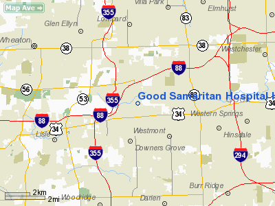
Good Samaritan Hospital Heliport |
|
|
Location
& QuickFacts
|
FAA
Information Effective: |
2007-12-20 |
|
Airport
Identifier: |
0IL4 |
|
Airport
Status: |
Operational |
|
Longitude/Latitude: |
088-00-28.0000W/41-49-08.0000N
-88.007778/41.818889 (Estimated) |
|
Elevation: |
772 ft / 235.31 m (Estimated) |
|
Land: |
0 acres |
|
From
nearest city: |
2 nautical miles N of Downers Grove, IL |
|
Location: |
Du Page County, IL |
|
Magnetic Variation: |
02W (1995) |
Owner
& Manager
|
Ownership: |
Privately owned |
|
Owner: |
Good Samaritan Hospital |
|
Address: |
3815 Highland Avenue
Downers Grove, IL 60521 |
|
Phone
number: |
708-963-5900 |
|
Manager: |
Joe Kucharz |
|
Address: |
3815 Highland Avenue
Downers Grove, IL 60521 |
|
Phone number: |
708-275-1257 |
Airport Operations and Facilities
|
Airport
Use: |
Private |
|
Wind
indicator: |
Yes |
|
Segmented Circle: |
No |
|
Control
Tower: |
No |
|
Lighting
Schedule: |
24 HRS
PERIMETER LGTS OPER DUSK-DAWN. |
|
Beacon
Color: |
Clear-Green-Yellow (heliport) |
|
Sectional chart: |
Chicago |
|
Region: |
AGL - Great Lakes |
|
Boundary
ARTCC: |
ZAU - Chicago |
|
Tie-in
FSS: |
IKK - Kankakee |
|
FSS
on Airport: |
No |
|
FSS
Toll Free: |
1-800-WX-BRIEF |
|
Runway Information
Helipad H1
|
Dimension: |
40 x 40 ft / 12.2 x 12.2 m |
|
Surface: |
CONC, Good Condition |
|
|
Runway H1 |
Runway |
|
Traffic
Pattern: |
Left |
Left |
|
Radio Navigation
Aids
|
ID |
Type |
Name |
Ch |
Freq |
Var |
Dist |
|
ME |
NDB |
Deana |
|
350.00 |
00E |
9.0 nm |
|
HK |
NDB |
Ermin |
|
332.00 |
01W |
9.8 nm |
|
MX |
NDB |
Kedzi |
|
248.00 |
01W |
15.0 nm |
|
DKB |
NDB |
Dekalb |
|
209.00 |
02W |
32.1 nm |
|
OIX |
NDB |
Ottawa |
|
266.00 |
01E |
46.9 nm |
|
ORD |
VOR/DME |
Chicago O'hare |
086X |
113.90 |
02E |
11.1 nm |
|
DPA |
VOR/DME |
Dupage |
021X |
108.40 |
02E |
15.9 nm |
|
OBK |
VOR/DME |
Northbrook |
077X |
113.00 |
02W |
24.3 nm |
|
IKK |
VOR/DME |
Kankakee |
053X |
111.60 |
00E |
45.3 nm |
|
ENW |
VOR/DME |
Kenosha |
029X |
109.20 |
02W |
47.0 nm |
|
JOT |
VORTAC |
Joliet |
070X |
112.30 |
02E |
21.5 nm |
|
CGT |
VORTAC |
Chicago Heights |
089X |
114.20 |
02E |
27.0 nm |
|
EON |
VORTAC |
Peotone |
079X |
113.20 |
02E |
34.4 nm |
|
ORD |
VOT |
Chicago O'hare Intl |
|
112.00 |
|
10.8 nm |
|
MDW |
VOT |
Chicago Midway |
|
111.00 |
|
11.6 nm |
Remarks
-
APCH/DEP
020-040 DEGS AND 120-140 DEGS; AREA IS MKD; WIND INDICATOR IS MAINTAINED.
Good Samaritan Hospital Heliport
Address:
Du Page County, IL
Tel:
708-963-5900,
708-275-1257
Images
and information placed above are from
http://www.airport-data.com/airport/0IL4/
We
thank them for the data!
| General Info |
| Country |
United
States |
| State |
ILLINOIS
|
| FAA ID |
0IL4 |
| Latitude |
41-49-08.000N
|
| Longitude |
088-00-28.000W
|
| Elevation |
772 feet
|
| Near City |
DOWNERS
GROVE |
We don't guarantee the information is fresh and accurate. The data may
be wrong or outdated.
For more up-to-date information please refer to other sources.
|
|


