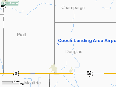
Cooch Landing Area Airport |
Location
& QuickFacts
|
FAA Information Effective: |
2007-07-05 |
|
Airport
Identifier: |
IL31 |
|
Airport
Status: |
Operational |
|
Longitude/Latitude: |
088-27-12.0000W/39-50-36.0000N
-88.453333/39.843333 (Estimated) |
|
Elevation: |
695 ft / 211.84 m (Estimated) |
|
Land: |
0
acres |
|
From
nearest city: |
3 nautical miles N of Atwood, IL |
|
Location: |
Douglas County, IL |
|
Magnetic Variation: |
00E (1985) |
Owner
& Manager
|
Ownership: |
Privately owned |
|
Owner: |
Dale Cooch |
|
Address: |
23 Maple Dr
Tuscola, IL 61953 |
|
Address: |
|
Airport
Operations and Facilities
|
Airport Use: |
Private |
|
Wind indicator: |
Yes |
|
Segmented Circle: |
Yes |
|
Control Tower: |
No |
|
Landing fee charge: |
No |
|
Sectional chart: |
St Louis |
|
Region: |
AGL - Great Lakes |
|
Boundary ARTCC: |
ZKC - Kansas City |
|
Tie-in FSS: |
STL - Saint Louis |
|
FSS on Airport: |
No |
|
FSS Phone: |
636-536-2980 |
|
FSS Toll Free: |
1-800-WX-BRIEF |
Airport
Services
|
Airframe Repair: |
MAJOR |
|
Power Plant Repair: |
MAJOR |
|
Runway
Information
Runway N/S
|
Dimension: |
3300 x 300 ft / 1005.8 x 91.4 m |
|
Surface: |
TURF, |
|
|
Runway N |
Runway S |
|
Traffic
Pattern: |
Left |
Right |
|
Radio Navigation
Aids
|
ID |
Type |
Name |
Ch |
Freq |
Var |
Dist |
|
HMJ |
NDB |
Homer |
|
281.00 |
01E |
25.5 nm |
|
MT |
NDB |
Zebre |
|
347.00 |
00E |
27.4 nm |
|
SYZ |
NDB |
Shelbyville |
|
365.00 |
01E |
31.9 nm |
|
PRG |
NDB |
Paris |
|
341.00 |
01E |
37.0 nm |
|
CZB |
NDB |
Casey |
|
359.00 |
00E |
38.5 nm |
|
TAZ |
NDB |
Taylorville |
|
395.00 |
00E |
44.3 nm |
|
AAA |
NDB |
Abraham |
|
329.00 |
00E |
45.0 nm |
|
MTO |
VOR/DME |
Mattoon |
031X |
109.40 |
03E |
23.3 nm |
|
BMI |
VOR/DME |
Bloomington |
019X |
108.20 |
03E |
44.2 nm |
|
RBS |
VOR/DME |
Roberts |
115X |
116.80 |
02E |
46.3 nm |
|
CMI |
VORTAC |
Champaign |
037X |
110.00 |
03E |
14.1 nm |
|
DEC |
VORTAC |
Decatur |
119X |
117.20 |
03E |
19.7 nm |
|
DNV |
VORTAC |
Danville |
047X |
111.00 |
02E |
49.3 nm |
Remarks
- CONDL
ON ESTAB TFC PATTERN WITH ADJACENT ARPT.
Based
Aircraft
|
Aircraft
based on field: |
22 |
|
Single
Engine Airplanes: |
22 |
Cooch Landing Area Airport
Address:
Douglas County, IL
Tel:
Images
and information placed above are from
http://www.airport-data.com/airport/IL31/
We
thank them for the data!
| General
Info |
| Country |
United
States |
| State |
ILLINOIS
|
| FAA ID |
IL31
|
| Latitude |
39-50-30.117N
|
| Longitude |
088-27-30.205W
|
| Elevation |
650 feet
|
| Near City |
ATWOOD
|
We don't guarantee the information is fresh and accurate. The data may
be wrong or outdated.
For more up-to-date information please refer to other sources.
|


