 |
|
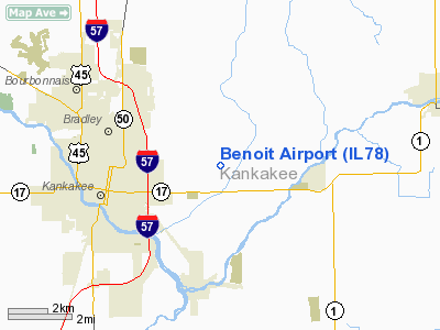
Location
& QuickFacts
|
FAA
Information Effective: |
2007-07-05 |
|
Airport
Identifier: |
IL78 |
|
Airport
Status: |
Operational |
|
Longitude/Latitude: |
087-47-32.1430W/41-07-52.1170N
-87.792262/41.131144 (Estimated) |
|
Elevation: |
660 ft / 201.17 m (Estimated) |
|
Land: |
0 acres |
|
From
nearest city: |
3 nautical miles E of Kankakee, IL |
|
Location: |
Kankakee County, IL |
|
Magnetic Variation: |
01W (1985) |
Owner
& Manager
|
Ownership: |
Privately
owned |
|
Owner: |
Steve Benoit |
|
Address: |
4250 E Exline Club Road
Kankakee, IL 60901 |
|
Phone number: |
815-932-2341 |
|
Address: |
|
Airport Operations and Facilities
|
Airport
Use: |
Private
PERSONAL USE. |
|
Segmented Circle: |
No |
|
Control
Tower: |
No |
|
Sectional chart: |
Chicago |
|
Region: |
AGL - Great Lakes |
|
Boundary
ARTCC: |
ZAU - Chicago |
|
Tie-in
FSS: |
IKK - Kankakee |
|
FSS
on Airport: |
No |
|
FSS
Toll Free: |
1-800-WX-BRIEF |
|
Runway Information
Runway 18/36
|
Dimension: |
2000
x 105 ft / 609.6 x 32.0 m |
|
Surface: |
TURF, |
|
|
Runway 18 |
Runway 36 |
|
Traffic
Pattern: |
Left |
Left |
|
Radio Navigation
Aids
|
ID |
Type |
Name |
Ch |
Freq |
Var |
Dist |
|
RZL |
NDB |
Rensselaer |
|
362.00 |
02W |
29.7 nm |
|
HK |
NDB |
Ermin |
|
332.00 |
01W |
35.4 nm |
|
MX |
NDB |
Kedzi |
|
248.00 |
01W |
37.0 nm |
|
VP |
NDB |
Sedly |
|
212.00 |
02W |
45.6 nm |
|
OIX |
NDB |
Ottawa |
|
266.00 |
01E |
50.0 nm |
|
IKK |
VOR/DME |
Kankakee |
053X |
111.60 |
00E |
4.3 nm |
|
RBS |
VOR/DME |
Roberts |
115X |
116.80 |
02E |
37.1 nm |
|
PNT |
VOR/DME |
Pontiac |
033X |
109.60 |
03E |
46.6 nm |
|
EON |
VORTAC |
Peotone |
079X |
113.20 |
02E |
8.3 nm |
|
CGT |
VORTAC |
Chicago Heights |
089X |
114.20 |
02E |
24.9 nm |
|
JOT |
VORTAC |
Joliet |
070X |
112.30 |
02E |
34.5 nm |
|
BVT |
VORTAC |
Boiler |
098X |
115.10 |
01E |
47.7 nm |
|
MDW |
VOT |
Chicago Midway |
|
111.00 |
|
39.4 nm |
Remarks
- TOWERS
1.5 MI NE.
- PRVDD
OBSTNS IN RY APCH SLOPE SFC BE REMOVED OR LOWERED; OTHERWISE RY THR
DSPLCD & MKD TO PRVD MINIMUM 20:1 APCH SFC CLNC OVER OBSTNS; AREA
125' EITHER SIDE OF RY CNTRLN CLEAR OF OBSTNS; LTR OF AGREEMENT WITH
BENOIT & MC CLURE ARPTS TO THE EFFECT THAT MC CLURE TFC PATTERNS
BE WEST OF N/S RY.
Based
Aircraft
|
Aircraft
based on field: |
3 |
|
Single
Engine Airplanes: |
3 |
Benoit Airport
Address:
Kankakee County, IL
Tel:
815-932-2341
Images
and information placed above are from
http://www.airport-data.com/airport/IL78/
We
thank them for the data!
| General
Info |
| Country |
United
States |
| State |
ILLINOIS
|
| FAA ID |
IL78 |
| Latitude |
41-07-52.117N
|
| Longitude |
087-47-32.143W
|
| Elevation |
660 feet
|
| Near City |
KANKAKEE
|
We don't guarantee the information is fresh and accurate. The data may
be wrong or outdated.
For more up-to-date information please refer to other sources.
|
|


