 |
|
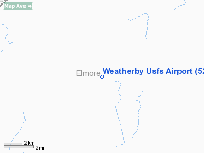
Weatherby U.S. Forest Service Airport |
|
|
Location
& QuickFacts
|
FAA
Information Effective: |
2007-07-05 |
|
Airport
Identifier: |
52U |
|
Airport
Status: |
Operational |
|
Longitude/Latitude: |
115-19-54.3240W/43-49-29.6320N
-115.331757/43.824898 (Estimated) |
|
Elevation: |
4494 ft / 1369.77 m (Surveyed) |
|
Land: |
15 acres |
|
From
nearest city: |
9 nautical miles NW of Atlanta, ID |
|
Location: |
Elmore County, ID |
|
Magnetic
Variation: |
17E (1985) |
Owner
& Manager
|
Ownership: |
Publicly
owned |
|
Owner: |
Us Forest Service |
|
Address: |
324 25th St
Ogden, UT 84401 |
|
Phone
number: |
801-625-5511 |
|
Manager: |
Boise Natl Forest Air Officer |
|
Address: |
1249 S Vinnel Way
Boise, ID 83709 |
|
Phone
number: |
208-384-3386 |
Airport
Operations and Facilities
|
Airport
Use: |
Open
to public |
|
Wind
indicator: |
Yes |
|
Segmented Circle: |
No |
|
Control
Tower: |
No |
|
Landing
fee charge: |
No |
|
Sectional chart: |
Salt Lake City |
|
Region: |
ANM - Northwest Mountain |
|
Boundary
ARTCC: |
ZLC - Salt Lake City |
|
Tie-in
FSS: |
BOI - Boise |
|
FSS
on Airport: |
No |
|
FSS
Phone: |
208-332-0200 |
|
FSS
Toll Free: |
1-800-WX-BRIEF |
|
NOTAMs
Facility: |
BOI (NOTAM-d service avaliable) |
Airport
Communications
Airport
Services
|
Airframe
Repair: |
NONE |
|
Power
Plant Repair: |
NONE |
|
Bottled
Oxygen: |
NONE |
|
Bulk
Oxygen: |
NONE |
|
Runway Information
Runway 03/21
|
Dimension: |
2200
x 60 ft / 670.6 x 18.3 m |
|
Surface: |
TURF-GRVL, Fair Condition |
|
|
Runway 03 |
Runway 21 |
|
Traffic
Pattern: |
Left |
Left |
|
Obstruction: |
80 ft tree, 85 ft left of centerline |
85 ft trees, 0.0 ft from runway, 100 ft right
of centerline |
|
Radio Navigation
Aids
|
ID |
Type |
Name |
Ch |
Freq |
Var |
Dist |
|
BO |
NDB |
Ustik |
|
359.00 |
17E |
44.9 nm |
|
STI |
NDB |
Sturgeon |
|
333.00 |
17E |
45.1 nm |
|
BOI |
VORTAC |
Boise |
080X |
113.30 |
17E |
40.8 nm |
|
BOI |
VOT |
Boise |
|
116.70 |
|
41.9 nm |
Remarks
- RECOMMEND
LNDG RWY 03; TKOF RWY 21 WHEN WIND CONDITIONS ALLOW.
- ARPT
LCTD IN NRW RIVER CANYON SUBJECT TO LCL TURBC CAUSED BY THE TRRN CONFIGN.
- NO
WINTER MAINTENANCE.
- -2'
DITCHES PARALLEL TO BOTH SIDES OF RWY.
- NO
TELEPHONE AVBL AT ARPT.
- ESTABLD
PRIOR TO 1958.
Operational
Statistics
Time Period: 2006-05-12
- 2007-05-11
|
Aircraft
Operations: |
15/Week |
|
General
Aviation Itinerant: |
96.8% |
|
Military: |
3.2% |
Weatherby U S Forest Service Airport
Address:
Elmore County, ID
Tel:
801-625-5511,
208-384-3386
Images
and information placed above are from
http://www.airport-data.com/airport/52U/
We
thank them for the data!
| General
Info |
| Country |
United
States |
| State |
IDAHO
|
| FAA ID |
52U |
| Latitude |
43-49-29.632N
|
| Longitude |
115-19-54.324W
|
| Elevation |
4494 feet
|
| Near City |
ATLANTA
|
We don't guarantee the information is fresh and accurate. The data may
be wrong or outdated.
For more up-to-date information please refer to other sources.
|
|


