 |
|
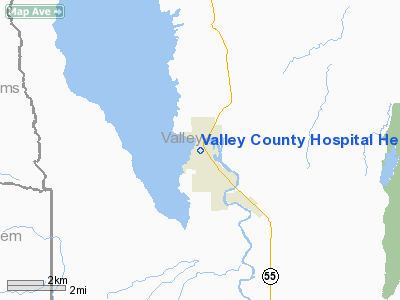
Valley County Hospital Heliport |
Location
& QuickFacts
|
FAA
Information Effective: |
2007-07-05 |
|
Airport
Identifier: |
ID55 |
|
Airport
Status: |
Operational |
|
Longitude/Latitude: |
116-02-53.4730W/44-31-07.6150N
-116.048187/44.518782 (Estimated) |
|
Elevation: |
4800 ft / 1463.04 m (Estimated) |
|
Land: |
0 acres |
|
From
nearest city: |
0 nautical miles N of Cascade, ID |
|
Location: |
Valley County, ID |
|
Magnetic
Variation: |
17E (1980) |
Owner
& Manager
|
Ownership: |
Privately
owned |
|
Owner: |
Valley Co. Hospital District |
|
Address: |
402 Old State Highway
Cascade, ID 83611 |
|
Phone
number: |
208-382-4242 |
|
Manager: |
Leonard Kolsky |
|
Address: |
402 Old State Highway
Cascade, ID 83611 |
|
Phone
number: |
208-382-4242 |
Airport
Operations and Facilities
|
Airport
Use: |
Private
MEDICAL USE. |
|
Segmented Circle: |
No |
|
Control
Tower: |
No |
|
Sectional chart: |
Great Falls |
|
Region: |
ANM - Northwest Mountain |
|
Boundary
ARTCC: |
ZLC - Salt Lake City |
|
Tie-in
FSS: |
BOI - Boise |
|
FSS
Phone: |
208-332-0200 |
|
FSS
Toll Free: |
1-800-WX-BRIEF |
|
Runway Information
Helipad H1
|
Dimension: |
65
x 65 ft / 19.8 x 19.8 m |
|
Surface: |
ASPH, |
|
|
Runway H1 |
Runway |
|
Traffic
Pattern: |
Left |
Left |
|
Radio Navigation
Aids
|
ID |
Type |
Name |
Ch |
Freq |
Var |
Dist |
|
IOM |
NDB |
Mc Call |
|
363.00 |
17E |
17.4 nm |
|
DNJ |
VORTAC |
Donnelly |
109X |
116.20 |
19E |
16.4 nm |
Valley County Hospital Heliport
Address:
Valley County, ID
Tel:
208-382-4242
Images
and information placed above are from
http://www.airport-data.com/airport/ID55/
We
thank them for the data!
| General
Info |
| Country |
United
States |
| State |
IDAHO
|
| FAA ID |
ID55 |
| Latitude |
44-31-07.615N
|
| Longitude |
116-02-53.473W
|
| Elevation |
4800 feet
|
| Near City |
CASCADE
|
We don't guarantee the information is fresh and accurate. The data may
be wrong or outdated.
For more up-to-date information please refer to other sources.
|
|


