 |
|
Location
& QuickFacts
|
FAA
Information Effective: |
2007-07-05 |
|
Airport
Identifier: |
22ID |
|
Airport
Status: |
Operational |
|
Longitude/Latitude: |
115-56-28.2000W/43-56-40.8000N
-115.941167/43.944667 (Estimated) |
|
Elevation: |
4350 ft / 1325.88 m (Estimated) |
|
Land: |
4 acres |
|
From
nearest city: |
1 nautical miles NW of Placerville, ID |
|
Location: |
Boise County, ID |
|
Magnetic
Variation: |
() |
Owner
& Manager
|
Ownership: |
Privately
owned |
|
Owner: |
Treasure Gulch L.l.c. |
|
Address: |
255 N. Linder
Meridian, ID 83642 |
|
Phone
number: |
208-887-6300 |
|
Manager: |
Victor L. Warr |
|
Address: |
255 N. Linder
Meridian, ID 83642 |
|
Phone
number: |
208-887-6300 |
Airport
Operations and Facilities
|
Airport
Use: |
Private |
|
Segmented Circle: |
No |
|
Control
Tower: |
No |
|
Sectional chart: |
Salt Lake City |
|
Region: |
ANM - Northwest Mountain |
|
Boundary
ARTCC: |
ZLC - Salt Lake City |
|
Tie-in
FSS: |
BOI - Boise |
|
FSS
Phone: |
208-332-0200 |
|
FSS
Toll Free: |
1-800-WX-BRIEF |
|
Runway Information
Runway 02/20
|
Dimension: |
1600
x 75 ft / 487.7 x 22.9 m |
|
Surface: |
TURF, |
|
|
Runway 02 |
Runway 20 |
|
Traffic
Pattern: |
Left |
Left |
|
Obstruction: |
50 ft trees, 150.0 ft from runway |
50 ft trees, 200.0 ft from runway |
|
Radio Navigation
Aids
|
ID |
Type |
Name |
Ch |
Freq |
Var |
Dist |
|
BO |
NDB |
Ustik |
|
359.00 |
17E |
26.5 nm |
|
MPA |
NDB |
Meridian |
|
238.00 |
16E |
33.1 nm |
|
ONO |
NDB |
Ontario |
|
305.00 |
17E |
46.4 nm |
|
BOI |
VORTAC |
Boise |
080X |
113.30 |
17E |
26.0 nm |
|
BOI |
VOT |
Boise |
|
116.70 |
|
25.7 nm |
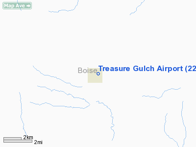
Treasure Gulch Airport
Address:
Boise County, ID
Tel:
208-887-6300
Images
and information placed above are from
http://www.airport-data.com/airport/22ID/
We
thank them for the data!
We don't guarantee the information is fresh and accurate. The data may
be wrong or outdated.
For more up-to-date information please refer to other sources.
|
|


