 |
|
Location
& QuickFacts
|
FAA
Information Effective: |
2007-07-05 |
|
Airport
Identifier: |
0ID0 |
|
Airport
Status: |
Operational |
|
Longitude/Latitude: |
115-06-26.1000W/43-36-23.2200N
-115.107250/43.606450 (Estimated) |
|
Elevation: |
4861 ft / 1481.63 m (Estimated) |
|
Land: |
159 acres |
|
From
nearest city: |
8 nautical miles W of Featherville, ID |
|
Location: |
Elmore County, ID |
|
Magnetic
Variation: |
() |
Owner
& Manager
|
Ownership: |
Privately
owned |
|
Owner: |
South Fork Homeowners Assn. |
|
Address: |
1495 E Salesyard Rd.
Summitt, ID 83617 |
|
Phone
number: |
208-939-4314 |
|
Manager: |
Steve Burak |
|
Address: |
1495 E Salesyard Rd.
Summitt, ID 83617 |
|
Phone
number: |
208-939-4314 |
Airport
Operations and Facilities
|
Airport
Use: |
Private |
|
Wind
indicator: |
Yes |
|
Segmented Circle: |
Yes |
|
Control
Tower: |
No |
|
Sectional chart: |
Salt Lake City |
|
Region: |
ANM - Northwest Mountain |
|
Boundary
ARTCC: |
ZLC - Salt Lake City |
|
Tie-in
FSS: |
BOI - Boise |
|
FSS
Phone: |
208-332-0200 |
|
FSS
Toll Free: |
1-800-WX-BRIEF |
|
Runway Information
Runway 07/25
|
Dimension: |
3000
x 80 ft / 914.4 x 24.4 m |
|
Surface: |
TURF, |
|
|
Runway 07 |
Runway 25 |
|
Traffic
Pattern: |
Left |
Left |
|
Radio Navigation
Aids
|
ID |
Type |
Name |
Ch |
Freq |
Var |
Dist |
|
STI |
NDB |
Sturgeon |
|
333.00 |
17E |
38.2 nm |
|
HDG |
NDB |
Steelhead |
|
211.00 |
16E |
45.6 nm |
|
HLE |
NDB/DME |
Hailey |
025X |
220.00 |
16E |
41.2 nm |
|
MUO |
TACAN |
Mountain Home |
087X |
|
18E |
47.8 nm |
|
LIA |
VOR |
Liberator |
|
114.90 |
18E |
47.5 nm |
|
BOI |
VORTAC |
Boise |
080X |
113.30 |
17E |
47.3 nm |
|
BOI |
VOT |
Boise |
|
116.70 |
|
49.0 nm |
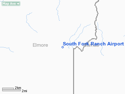
South Fork Ranch Airport
Address:
Elmore County, ID
Tel:
208-939-4314
Images
and information placed above are from
http://www.airport-data.com/airport/0ID0/
We
thank them for the data!
We don't guarantee the information is fresh and accurate. The data may
be wrong or outdated.
For more up-to-date information please refer to other sources.
|
|


