 |
|
Location
& QuickFacts
|
FAA
Information Effective: |
2007-07-05 |
|
Airport
Identifier: |
0WN8 |
|
Airport
Status: |
Operational |
|
Longitude/Latitude: |
116-51-07.0000W/47-15-04.0000N
-116.851944/47.251111 (Estimated) |
|
Elevation: |
2129 ft / 648.92 m (Estimated) |
|
Land: |
0 acres |
|
From
nearest city: |
3 nautical miles SW of Coeur D'alene, ID |
|
Location: |
Kootenai County, ID |
|
Magnetic
Variation: |
() |
Owner
& Manager
|
Ownership: |
Privately
owned |
|
Owner: |
William Sheldon |
|
Address: |
350 S. Hidden Island La
Coer D'alene, ID 83814 |
|
Phone
number: |
208-664-8118 |
|
Manager: |
William Sheldon |
|
Address: |
350 S. Hidden Island La
Coer D'alene, ID 83814 |
|
Phone
number: |
208-664-8118 |
Airport
Operations and Facilities
|
Airport
Use: |
Private |
|
Control
Tower: |
No |
|
Region: |
ANM - Northwest Mountain |
|
Boundary
ARTCC: |
ZSE - Seattle |
|
Tie-in
FSS: |
BOI - Boise |
|
FSS
Phone: |
208-332-0200 |
|
FSS
Toll Free: |
1-800-WX-BRIEF |
|
Runway Information
Helipad H1
|
Dimension: |
38
x 10 ft / 11.6 x 3.0 m |
|
Surface: |
MATS, |
|
|
Runway H1 |
Runway |
|
Traffic
Pattern: |
Left |
Left |
|
Radio Navigation
Aids
|
ID |
Type |
Name |
Ch |
Freq |
Var |
Dist |
|
SFF |
NDB |
Felts |
|
365.00 |
19E |
32.1 nm |
|
DPY |
NDB |
Deer Park |
|
216.00 |
19E |
49.0 nm |
|
SKA |
TACAN |
Fairchild |
051X |
|
19E |
39.4 nm |
|
COE |
VOR/DME |
Coeur D'alene |
025X |
108.80 |
19E |
31.4 nm |
|
PUW |
VOR/DME |
Pullman |
027X |
109.00 |
20E |
37.9 nm |
|
GEG |
VORTAC |
Spokane |
102X |
115.50 |
21E |
36.7 nm |
|
SFF |
VOT |
Spokane/felts Field |
|
114.00 |
|
32.1 nm |
|
GEG |
VOT |
Spokane Intl |
|
109.60 |
|
35.8 nm |
Remarks
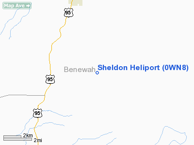
Sheldon Heliport
Address:
Kootenai County, ID
Tel:
208-664-8118
Images
and information placed above are from
http://www.airport-data.com/airport/0WN8/
We
thank them for the data!
We don't guarantee the information is fresh and accurate. The data may
be wrong or outdated.
For more up-to-date information please refer to other sources.
|
|


