 |
|
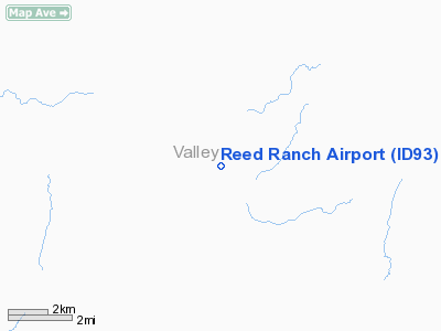
Location
& QuickFacts
|
FAA
Information Effective: |
2007-07-05 |
|
Airport
Identifier: |
ID93 |
|
Airport
Status: |
Operational |
|
Longitude/Latitude: |
115-42-48.4280W/44-53-39.6410N
-115.713452/44.894345 (Estimated) |
|
Elevation: |
4153 ft / 1265.83 m (Surveyed) |
|
Land: |
0 acres |
|
From
nearest city: |
10 nautical miles SW of Yellow Pine, ID |
|
Location: |
Valley County, ID |
|
Magnetic
Variation: |
17E (1985) |
Owner
& Manager
|
Ownership: |
Privately
owned |
|
Owner: |
W. H. Brown |
|
Address: |
Brown's Industries Inc., Po Box 886
Mc Call, ID 83638 |
|
Phone
number: |
208-634-1796 |
|
Address: |
|
Airport
Operations and Facilities
|
Airport Use: |
Private |
|
Wind
indicator: |
Yes |
|
Segmented
Circle: |
No |
|
Control
Tower: |
No |
|
Landing
fee charge: |
No |
|
Sectional
chart: |
Great Falls |
|
Region: |
ANM - Northwest Mountain |
|
Boundary
ARTCC: |
ZLC - Salt Lake City |
|
Tie-in
FSS: |
BOI - Boise |
|
FSS
on Airport: |
No |
|
FSS
Phone: |
208-332-0200 |
|
FSS
Toll Free: |
1-800-WX-BRIEF |
Airport
Services
|
Airframe
Repair: |
NONE |
|
Power
Plant Repair: |
NONE |
|
Runway Information
Runway N/S
|
Dimension: |
2100
x 200 ft / 640.1 x 61.0 m |
|
Surface: |
DIRT, |
|
|
Runway N |
Runway S |
|
Traffic
Pattern: |
Left |
Left |
|
Radio Navigation
Aids
|
ID |
Type |
Name |
Ch |
Freq |
Var |
Dist |
|
IOM |
NDB |
Mc Call |
|
363.00 |
17E |
17.4 nm |
|
DNJ |
VORTAC |
Donnelly |
109X |
116.20 |
19E |
22.4 nm |
Remarks
- EXISTED
PRIOR TO 31 DEC 1958.
Reed Ranch Airport
Address:
Valley County, ID
Tel:
208-634-1796
Images
and information placed above are from
http://www.airport-data.com/airport/ID93/
We
thank them for the data!
| General
Info |
| Country |
United
States |
| State |
IDAHO
|
| FAA ID |
ID93 |
| Latitude |
44-53-39.641N
|
| Longitude |
115-42-48.428W
|
| Elevation |
4153 feet
|
| Near City |
YELLOW
PINE |
We don't guarantee the information is fresh and accurate. The data may
be wrong or outdated.
For more up-to-date information please refer to other sources.
|
|


