 |
|
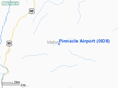
Location
& QuickFacts
|
FAA
Information Effective: |
2007-07-05 |
|
Airport
Identifier: |
0ID8 |
|
Airport
Status: |
Operational |
|
Longitude/Latitude: |
116-10-42.5100W/45-46-30.7100N
-116.178475/45.775197 (Estimated) |
|
Elevation: |
3800 ft / 1158.24 m (Estimated) |
|
Land: |
0 acres |
|
From
nearest city: |
10 nautical miles S of Grangeville, ID |
|
Location: |
Idaho County, ID |
|
Magnetic
Variation: |
() |
Owner
& Manager
|
Ownership: |
Privately
owned |
|
Owner: |
James J Babb |
|
Address: |
100 Delaney Rd
Grangeville, ID 83530 |
|
Phone
number: |
208-983-1118 |
|
Manager: |
James J Babb |
|
Address: |
100 Delaney Rd
Grangeville, ID 83530 |
|
Phone
number: |
208-983-1118 |
Airport
Operations and Facilities
|
Airport
Use: |
Private |
|
Control
Tower: |
No |
|
Sectional chart: |
Great Falls |
|
Region: |
ANM - Northwest Mountain |
|
Boundary
ARTCC: |
ZSE - Seattle |
|
Tie-in
FSS: |
BOI - Boise |
|
FSS
Phone: |
208-332-0200 |
|
FSS
Toll Free: |
1-800-WX-BRIEF |
|
Runway Information
Runway 09/27
|
Dimension: |
800
x 50 ft / 243.8 x 15.2 m |
|
Surface: |
TURF, |
|
|
Runway 09 |
Runway 27 |
|
Traffic
Pattern: |
Left |
Left |
|
Radio Navigation
Aids
|
ID |
Type |
Name |
Ch |
Freq |
Var |
Dist |
|
GVV |
NDB |
Grain |
|
280.00 |
18E |
10.0 nm |
|
MQG |
VOR/DME |
Nez Perce |
019X |
108.20 |
20E |
46.5 nm |
Remarks
- MOUNTAINS
ALL QUADRIANTS.
- OWNER
DESIRES ARPT NOT BE CHARTED.
Pinnacle Airport
Address:
Idaho County, ID
Tel:
208-983-1118
Images
and information placed above are from
http://www.airport-data.com/airport/0ID8/
We
thank them for the data!
We don't guarantee the information is fresh and accurate. The data may
be wrong or outdated.
For more up-to-date information please refer to other sources.
|
|


