 |
|
Location
& QuickFacts
|
FAA
Information Effective: |
2007-07-05 |
|
Airport
Identifier: |
ID67 |
|
Airport
Status: |
Operational |
|
Longitude/Latitude: |
114-48-33.3280W/44-48-29.6850N
-114.809258/44.808246 (Estimated) |
|
Elevation: |
4200 ft / 1280.16 m (Estimated) |
|
Land: |
0 acres |
|
From
nearest city: |
30 nautical miles SW of Challis, ID |
|
Location: |
Lemhi County, ID |
|
Magnetic Variation: |
17E (1990) |
Owner
& Manager
|
Ownership: |
Publicly
owned |
|
Owner: |
Idaho Dept. Of Fish And Game |
|
Address: |
600 S. Walnut
Boise, ID 83707 |
|
Phone
number: |
208-334-3771 |
|
Manager: |
Jerry Conley, Director |
|
Address: |
P.o. Box 25
Boise, ID 83707 |
|
Phone number: |
208-334-3771 |
Airport Operations and Facilities
|
Airport
Use: |
Private |
|
Segmented Circle: |
No |
|
Control
Tower: |
No |
|
Sectional chart: |
Great Falls |
|
Region: |
ANM - Northwest Mountain |
|
Boundary
ARTCC: |
ZLC - Salt Lake City |
|
Tie-in
FSS: |
BOI - Boise |
|
FSS
on Airport: |
No |
|
FSS
Phone: |
208-332-0200 |
|
FSS
Toll Free: |
1-800-WX-BRIEF |
|
Runway Information
Runway 13/31
|
Dimension: |
1100
x 75 ft / 335.3 x 22.9 m |
|
Surface: |
TURF, |
|
|
Runway 13 |
Runway 31 |
|
Traffic
Pattern: |
Left |
Left |
|
Radio Navigation
Aids
|
ID |
Type |
Name |
Ch |
Freq |
Var |
Dist |
|
LLJ |
NDB |
Challis |
|
397.00 |
17E |
30.8 nm |
|
LKT |
VOR/DME |
Salmon |
082X |
113.50 |
18E |
33.4 nm |
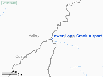
Lower Loon Creek Airport
Address:
Lemhi County, ID
Tel:
208-334-3771
Images
and information placed above are from
http://www.airport-data.com/airport/ID67/
We
thank them for the data!
| General
Info |
| Country |
United
States |
| State |
IDAHO
|
| FAA ID |
ID67 |
| Latitude |
44-48-29.685N
|
| Longitude |
114-48-33.328W
|
| Elevation |
4200 feet
|
| Near City |
CHALLIS
|
We don't guarantee the information is fresh and accurate. The data may
be wrong or outdated.
For more up-to-date information please refer to other sources.
|
|


