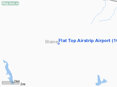
Flat Top Airstrip Airport |
Location
& QuickFacts
|
FAA
Information Effective: |
2007-07-05 |
|
Airport
Identifier: |
10ID |
|
Airport
Status: |
Operational |
|
Longitude/Latitude: |
113-55-18.1060W/43-29-39.6550N
-113.921696/43.494349 (Estimated) |
|
Elevation: |
5841 ft / 1780.34 m (Surveyed) |
|
Land: |
0 acres |
|
From
nearest city: |
3 nautical miles SE of Muldoon, ID |
|
Location: |
Blaine County, ID |
|
Magnetic Variation: |
16E (1985) |
Owner & Manager
|
Ownership: |
Privately owned |
|
Owner: |
Flat Top Sheep Co. |
|
Address: |
Carey, ID 83320 |
|
Address: |
|
Airport Operations and Facilities
|
Airport Use: |
Private |
|
Wind indicator: |
No |
|
Segmented Circle: |
No |
|
Control Tower: |
No |
|
Landing fee charge: |
No |
|
Sectional chart: |
Salt Lake City |
|
Region: |
ANM - Northwest Mountain |
|
Boundary ARTCC: |
ZLC - Salt Lake City |
|
Tie-in FSS: |
BOI - Boise |
|
FSS on Airport: |
No |
|
FSS Phone: |
208-332-0200 |
|
FSS Toll Free: |
1-800-WX-BRIEF |
Airport Services
|
Airframe
Repair: |
NONE |
|
Power
Plant Repair: |
NONE |
|
Runway
Information
Runway NE/SW
|
Dimension: |
3000
x 40 ft / 914.4 x 12.2 m |
|
Surface: |
GRAVEL, |
|
|
Runway NE |
Runway SW |
|
Traffic
Pattern: |
Left |
Left |
|
Radio Navigation
Aids
|
ID |
Type |
Name |
Ch |
Freq |
Var |
Dist |
|
AOC |
NDB |
Arco |
|
200.00 |
15E |
26.0 nm |
|
HDG |
NDB |
Steelhead |
|
211.00 |
16E |
47.9 nm |
|
HLE |
NDB/DME |
Hailey |
025X |
220.00 |
16E |
17.2 nm |
Remarks
Flat Top Airstrip Airport
Address:
Blaine County, ID
Tel:
Images
and information placed above are from
http://www.airport-data.com/airport/10ID/
We
thank them for the data!
| General
Info |
| Country |
United
States |
| State |
IDAHO
|
| FAA ID |
10ID |
| Latitude |
43-29-39.655N
|
| Longitude |
113-55-18.106W
|
| Elevation |
5841 feet
|
| Near City |
MULDOON
|
We don't guarantee the information is fresh and accurate. The data may
be wrong or outdated.
For more up-to-date information please refer to other sources.
|


