 |
|
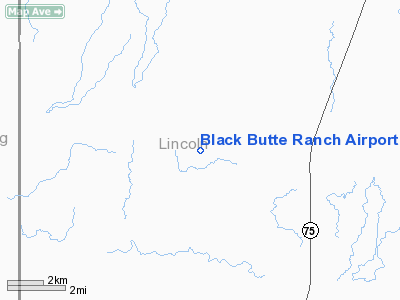
Black Butte Ranch Airport |
Location
& QuickFacts
|
FAA
Information Effective: |
2007-07-05 |
|
Airport
Identifier: |
0ID4 |
|
Airport
Status: |
Operational |
|
Longitude/Latitude: |
114-28-13.1700W/43-02-51.6600N
-114.470325/43.047683 (Estimated) |
|
Elevation: |
4020 ft / 1225.30 m (Estimated) |
|
Land: |
6 acres |
|
From
nearest city: |
7 nautical miles NW of Shoshone, ID |
|
Location: |
Lincoln County, ID |
|
Magnetic Variation: |
06E () |
Owner
& Manager
|
Ownership: |
Privately
owned |
|
Owner: |
Black Butte Ranch Assn., Inc. |
|
Address: |
P.o. Box 1879
Ketchum, ID 83340 |
|
Phone
number: |
208-726-8816 |
|
Manager: |
Gary Storey |
|
Address: |
P.o. Box 1877
Ketchum, ID 83340 |
|
Phone number: |
208-720-1524 |
Airport Operations and Facilities
|
Airport
Use: |
Private |
|
Wind
indicator: |
Yes |
|
Segmented Circle: |
Yes |
|
Control
Tower: |
No |
|
Sectional chart: |
Salt Lake City |
|
Region: |
ANM - Northwest Mountain |
|
Boundary
ARTCC: |
ZLC - Salt Lake City |
|
Tie-in
FSS: |
BOI - Boise |
|
FSS
Phone: |
208-332-0200 |
|
FSS
Toll Free: |
1-800-WX-BRIEF |
|
Runway Information
Runway 04/22
|
Dimension: |
3150
x 80 ft / 960.1 x 24.4 m |
|
Surface: |
TURF, |
|
|
Runway 04 |
Runway 22 |
|
Traffic
Pattern: |
Left |
Left |
|
Obstruction: |
30 ft gnd, 30.0 ft from runway |
10 ft fence, 10.0 ft from runway |
|
Radio Navigation
Aids
|
ID |
Type |
Name |
Ch |
Freq |
Var |
Dist |
|
HDG |
NDB |
Steelhead |
|
211.00 |
16E |
12.0 nm |
|
HLE |
NDB/DME |
Hailey |
025X |
220.00 |
16E |
19.6 nm |
|
BYI |
VOR/DME |
Burley |
088X |
114.10 |
18E |
38.7 nm |
|
TWF |
VORTAC |
Twin Falls |
105X |
115.80 |
18E |
34.1 nm |
Remarks
Black Butte Ranch Airport
Address:
Lincoln County, ID
Tel:
208-726-8816,
208-720-1524
Images
and information placed above are from
http://www.airport-data.com/airport/0ID4/
We
thank them for the data!
We don't guarantee the information is fresh and accurate. The data may
be wrong or outdated.
For more up-to-date information please refer to other sources.
|
|


