 |
|
Location
& QuickFacts
|
FAA
Information Effective: |
2007-07-05 |
|
Airport
Identifier: |
54U |
|
Airport
Status: |
Operational |
|
Longitude/Latitude: |
115-19-03.4060W/45-07-59.6750N
-115.317613/45.133243 (Estimated) |
|
Elevation: |
5750 ft / 1752.60 m (Estimated) |
|
Land: |
13 acres |
|
From
nearest city: |
0 nautical miles N of Big Creek, ID |
|
Location: |
Valley County, ID |
|
Magnetic Variation: |
17E (1985) |
Owner
& Manager
|
Ownership: |
Publicly owned |
|
Owner: |
Usfs |
|
Address: |
P.o. Box 1026
Mc Call, ID 83638 |
|
Phone
number: |
208-634-0611 |
|
Manager: |
N. F. Payette |
|
Address: |
P.o. Box 1026
Mc Call, ID 83638 |
|
Phone number: |
208-634-0611 |
Airport Operations and Facilities
|
Airport
Use: |
Private |
|
Wind
indicator: |
Yes |
|
Segmented Circle: |
No |
|
Control
Tower: |
No |
|
Landing
fee charge: |
No |
|
Sectional chart: |
Great Falls |
|
Region: |
ANM - Northwest Mountain |
|
Boundary
ARTCC: |
ZLC - Salt Lake City |
|
Tie-in
FSS: |
BOI - Boise |
|
FSS
on Airport: |
No |
|
FSS
Phone: |
208-332-0200 |
|
FSS
Toll Free: |
1-800-WX-BRIEF |
|
Runway Information
Helipad H1
|
Dimension: |
20
x 20 ft / 6.1 x 6.1 m |
|
Surface: |
CONC, |
|
|
Runway H1 |
Runway |
|
Traffic
Pattern: |
Left |
Left |
|
Radio Navigation
Aids
|
ID |
Type |
Name |
Ch |
Freq |
Var |
Dist |
|
IOM |
NDB |
Mc Call |
|
363.00 |
17E |
38.7 nm |
|
DNJ |
VORTAC |
Donnelly |
109X |
116.20 |
19E |
43.7 nm |
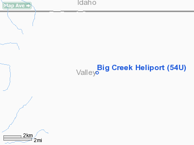
Big Creek Heliport
Address:
Valley County, ID
Tel:
208-634-0611
Images
and information placed above are from
http://www.airport-data.com/airport/54U/
We
thank them for the data!
| General
Info |
| Country |
United
States |
| State |
IDAHO
|
| FAA ID |
54U |
| Latitude |
45-07-59.675N
|
| Longitude |
115-19-03.406W
|
| Elevation |
5750 feet
|
| Near City |
BIG CREEK
|
We don't guarantee the information is fresh and accurate. The data may
be wrong or outdated.
For more up-to-date information please refer to other sources.
|
|


