 |
|
|
|
|
|
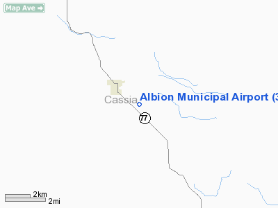
Location
& QuickFacts
|
FAA
Information Effective: |
2007-07-05 |
|
Airport
Identifier: |
39ID |
|
Airport
Status: |
Operational |
|
Longitude/Latitude: |
113-33-27.0250W/42-23-51.6790N
-113.557507/42.397689 (Estimated) |
|
Elevation: |
4777 ft / 1456.03 m (Surveyed) |
|
Land: |
40 acres |
|
From
nearest city: |
1 nautical miles SE of Albion, ID |
|
Location: |
Cassia County, ID |
|
Magnetic Variation: |
16E (1985) |
Owner
& Manager
|
Ownership: |
Privately
owned |
|
Owner: |
Jim Kempton |
|
Address: |
Amber Hill Ranch, 1000 South 1158 East
Albion, ID 83311 |
|
Phone
number: |
208-673-6261 |
|
Manager: |
Jim Kempton |
|
Address: |
Amber Hill Ranch, 1000 South 1158 East
Albion, ID 83311 |
|
Phone number: |
208-673-6261 |
Airport Operations and Facilities
|
Airport Use: |
Private |
|
Wind indicator: |
Yes |
|
Segmented Circle: |
No |
|
Control Tower: |
No |
|
Landing fee charge: |
No |
|
Sectional chart: |
Salt Lake City |
|
Region: |
ANM - Northwest Mountain |
|
Boundary ARTCC: |
ZLC - Salt Lake City |
|
Tie-in FSS: |
BOI - Boise |
|
FSS on Airport: |
No |
|
FSS Phone: |
208-332-0200 |
|
FSS Toll Free: |
1-800-WX-BRIEF |
Airport Services
|
Airframe
Repair: |
NONE |
|
Power
Plant Repair: |
NONE |
|
Bottled
Oxygen: |
NONE |
|
Bulk
Oxygen: |
NONE |
|
Runway Information
Runway 07/25
|
Dimension: |
4500
x 175 ft / 1371.6 x 53.3 m |
|
Surface: |
TURF-GRVL, Fair Condition
EAST 300 FT OF RY HAS 30 FT WIDE GRVL STRIP DOWN CNTRLN.
TURF
PORTION OF RY EDGES & WEST END ROUGH. |
|
|
Runway 07 |
Runway 25 |
|
Traffic
Pattern: |
Left |
Left |
|
Obstruction: |
17 ft road, 150.0 ft from runway, 125 ft right
of centerline, 8:1 slope to clear |
11 ft road, 300.0 ft from runway, 27:1 slope
to clear |
|
Radio Navigation
Aids
|
ID |
Type |
Name |
Ch |
Freq |
Var |
Dist |
|
BYI |
VOR/DME |
Burley |
088X |
114.10 |
18E |
17.5 nm |
|
TWF |
VORTAC |
Twin Falls |
105X |
115.80 |
18E |
41.6 nm |
|
PIH |
VORTAC |
Pocatello |
073X |
112.60 |
17E |
49.1 nm |
Albion Municipal Airport
Address:
Cassia County, ID
Tel:
208-673-6261
Images
and information placed above are from
http://www.airport-data.com/airport/39ID/
We
thank them for the data!
| General
Info |
| Country |
United
States |
| State |
IDAHO
|
| FAA ID |
39ID |
| Latitude |
42-23-51.679N
|
| Longitude |
113-33-27.025W
|
| Elevation |
4777 feet
|
| Near City |
ALBION
|
We don't guarantee the information is fresh and accurate. The data may
be wrong or outdated.
For more up-to-date information please refer to other sources.
|
|


