 |
|
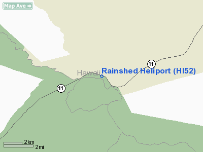
Location
& QuickFacts
|
FAA Information Effective: |
2007-07-05 |
|
Airport
Identifier: |
HI52 |
|
Airport
Status: |
Operational |
|
Longitude/Latitude: |
155-15-35.0030W/19-25-59.1120N
-155.259723/19.433087 (Estimated) |
|
Elevation: |
4000 ft / 1219.20 m (Estimated) |
|
Land: |
1
acres |
|
From
nearest city: |
1 nautical miles E of Volcano Village, HI |
|
Location: |
Hawaii County, HI |
|
Magnetic Variation: |
11E (1985) |
Owner
& Manager
|
Ownership: |
Publicly owned |
|
Owner: |
Us Dept Of The Interior |
|
Address: |
National Park Service, Po Box 52
Hawaii Natl Park, HI 96718 |
|
Phone
number: |
808-985-6000 |
|
Manager: |
James Martin |
|
Address: |
Hawaii Volcanoes Natl Park, Po Box 52
Hawaii Natl Park, HI 96718 |
|
Phone number: |
808-985-6000 |
Airport
Operations and Facilities
|
Airport Use: |
Private |
|
Wind
indicator: |
Yes |
|
Segmented
Circle: |
No |
|
Control
Tower: |
No |
|
Sectional
chart: |
Hawaiian Islands |
|
Region: |
AWP - Western-Pacific |
|
Boundary
ARTCC: |
ZHN - Honolulu Control Facility |
|
Tie-in
FSS: |
HNL - Honolulu |
|
FSS
Phone: |
808-836-8049 |
|
FSS
Toll Free: |
1-800-WX-BRIEF |
|
Runway Information
Helipad H1
|
Dimension: |
90 x 90 ft / 27.4 x 27.4 m |
|
Surface: |
ASPH, |
|
|
Runway H1 |
Runway |
|
Traffic
Pattern: |
Left |
Left |
|
Radio Navigation
Aids
|
ID |
Type |
Name |
Ch |
Freq |
Var |
Dist |
|
POA |
NDB |
Pahoa |
|
332.00 |
11E |
17.5 nm |
|
BSF |
NDB |
Bradshaw |
|
339.00 |
10E |
27.4 nm |
|
MUE |
VOR/DME |
Kamuela |
080X |
113.30 |
11E |
41.1 nm |
|
ITO |
VORTAC |
Hilo |
116X |
116.90 |
11E |
22.3 nm |
|
IAI |
VORTAC |
Kona |
104X |
115.70 |
11E |
45.3 nm |
Remarks
- OWNER
DESIRES ARPT NOT TO BE CHARTED.
- VFR,
PRIVATE USE ONLY.
Rainshed Heliport
Address:
Hawaii County, HI
Tel:
808-985-6000
Images
and information placed above are from
http://www.airport-data.com/airport/HI52/
We
thank them for the data!
| General
Info |
| Country |
United
States |
| State |
HAWAII
|
| FAA ID |
HI52
|
| Latitude |
19-25-59.112N
|
| Longitude |
155-15-35.003W
|
| Elevation |
4000 feet
|
| Near City |
VOLCANO
VILLAGE |
We don't guarantee the information is fresh and accurate. The data may
be wrong or outdated.
For more up-to-date information please refer to other sources.
|
|


