 |
|
|
|
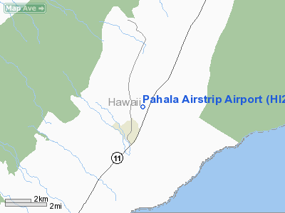
Location
& QuickFacts
|
FAA Information Effective: |
2007-07-05 |
|
Airport
Identifier: |
HI28 |
|
Airport
Status: |
Operational |
|
Longitude/Latitude: |
155-28-06.9840W/19-12-58.1490N
-155.468607/19.216152 (Estimated) |
|
Elevation: |
1195 ft / 364.24 m (Estimated) |
|
Land: |
0
acres |
|
From
nearest city: |
1 nautical miles NE of Pahala, HI |
|
Location: |
Hawaii County, HI |
|
Magnetic Variation: |
11E (1985) |
Owner
& Manager
|
Ownership: |
Privately owned |
|
Owner: |
Int'l Air Svc Co Ltd |
|
Address: |
|
|
Phone
number: |
415-877-3600 |
|
Manager: |
Randy Cobral |
|
Address: |
Maunaloa Macademia Nut
Pahala, HI 96777 |
|
Phone number: |
928-8995 |
Airport
Operations and Facilities
|
Airport Use: |
Private |
|
Wind indicator: |
No |
|
Segmented Circle: |
No |
|
Control Tower: |
No |
|
Landing fee charge: |
No |
|
Sectional chart: |
Hawaiian Islands |
|
Region: |
AWP - Western-Pacific |
|
Boundary ARTCC: |
ZHN - Honolulu Control Facility |
|
Tie-in FSS: |
HNL - Honolulu |
|
FSS on Airport: |
No |
|
FSS Phone: |
808-836-8049 |
|
FSS Toll Free: |
1-800-WX-BRIEF |
Airport
Services
|
Airframe Repair: |
NONE |
|
Power Plant Repair: |
NONE |
|
Runway
Information
Runway N/S
|
Dimension: |
1650 x 70 ft / 502.9 x 21.3 m |
|
Surface: |
GRVL-TRTD, |
|
|
Runway N |
Runway S |
|
Traffic
Pattern: |
Left |
Left |
|
Radio Navigation
Aids
|
ID |
Type |
Name |
Ch |
Freq |
Var |
Dist |
|
BSF |
NDB |
Bradshaw |
|
339.00 |
10E |
33.7 nm |
|
POA |
NDB |
Pahoa |
|
332.00 |
11E |
34.3 nm |
|
MUE |
VOR/DME |
Kamuela |
080X |
113.30 |
11E |
48.4 nm |
|
ITO |
VORTAC |
Hilo |
116X |
116.90 |
11E |
39.9 nm |
|
IAI |
VORTAC |
Kona |
104X |
115.70 |
11E |
41.1 nm |
Remarks
- ARPT
USED ONLY FOR FERTILIZER & HERBICIDE APPLICATIONS.
- OWNER
DESIRES ARPT NOT BE CHARTED.
- (A31-NS)
250 X 70 TURF OVRN ON S END N/S RWY.
Pahala Airstrip Airport
Address:
Hawaii County, HI
Tel:
415-877-3600
Images
and information placed above are from
http://www.airport-data.com/airport/HI28/
We
thank them for the data!
| General
Info |
| Country |
United
States |
| State |
HAWAII
|
| FAA ID |
HI28
|
| Latitude |
19-12-58.149N
|
| Longitude |
155-28-06.984W
|
| Elevation |
1195 feet
|
| Near City |
PAHALA
|
We don't guarantee the information is fresh and accurate. The data may
be wrong or outdated.
For more up-to-date information please refer to other sources.
|
|


