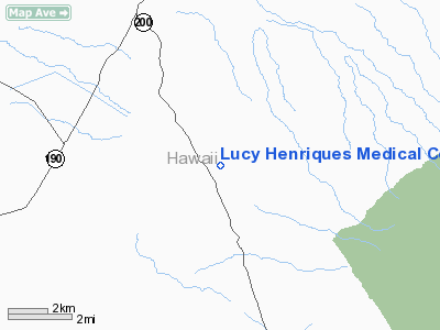
Lucy Henriques Medical Center Heliport |
Location
& QuickFacts
|
FAA Information Effective: |
2007-07-05 |
|
Airport
Identifier: |
HI18 |
|
Airport
Status: |
Operational |
|
Longitude/Latitude: |
155-38-50.0040W/19-51-57.0190N
-155.647223/19.865839 (Estimated) |
|
Elevation: |
2707 ft / 825.09 m (Estimated) |
|
Land: |
0
acres |
|
From
nearest city: |
0 nautical miles N of Kamuela, HI |
|
Location: |
Hawaii County, HI |
|
Magnetic Variation: |
11E (1990) |
Owner
& Manager
|
Ownership: |
Privately owned |
|
Owner: |
North Hawaii Community Hospital |
|
Address: |
67-1125 Mamalahoa Hwy
Kamuela, HI 96743 |
|
Phone number: |
808-885-7921 |
|
Manager: |
Paul Eggel |
|
Address: |
67-1125 Mamalahoa Hwy
Kamuela, HI 96743 |
|
Phone number: |
808-881-4685 |
Airport
Operations and Facilities
|
Airport Use: |
Private
MEDICAL USE. |
|
Wind
indicator: |
Yes |
|
Segmented
Circle: |
No |
|
Control
Tower: |
No |
|
Sectional
chart: |
Hawaiian Islands |
|
Region: |
AWP - Western-Pacific |
|
Boundary
ARTCC: |
ZHN - Honolulu Control Facility |
|
Tie-in
FSS: |
HNL - Honolulu |
|
FSS
on Airport: |
No |
|
FSS
Phone: |
808-836-8049 |
|
FSS
Toll Free: |
1-800-WX-BRIEF |
|
Runway Information
Helipad H1
|
Dimension: |
40 x 40 ft / 12.2 x 12.2 m |
|
Surface: |
CONC, |
|
|
Runway H1 |
Runway |
|
Traffic
Pattern: |
Left |
Left |
|
Radio Navigation
Aids
|
ID |
Type |
Name |
Ch |
Freq |
Var |
Dist |
|
BSF |
NDB |
Bradshaw |
|
339.00 |
10E |
6.8 nm |
|
POA |
NDB |
Pahoa |
|
332.00 |
11E |
42.9 nm |
|
MUE |
VOR/DME |
Kamuela |
080X |
113.30 |
11E |
8.0 nm |
|
UPP |
VORTAC |
Upolu Point |
070X |
112.30 |
11E |
23.0 nm |
|
IAI |
VORTAC |
Kona |
104X |
115.70 |
11E |
24.9 nm |
|
ITO |
VORTAC |
Hilo |
116X |
116.90 |
11E |
37.0 nm |
Operational
Statistics
Time Period: 2002-01-01
- 2002-12-31
|
Aircraft
Operations: |
25/Month |
|
Military: |
100.0% |
Lucy Henriques Medical Center Heliport
Address:
Hawaii County, HI
Tel:
808-885-7921, 808-881-4685
Images
and information placed above are from
http://www.airport-data.com/airport/HI18/
We
thank them for the data!
| General
Info |
| Country |
United
States |
| State |
HAWAII
|
| FAA ID |
HI18
|
| Latitude |
19-51-57.019N
|
| Longitude |
155-38-50.004W
|
| Elevation |
2800 feet
|
| Near City |
KAMUELA
|
We don't guarantee the information is fresh and accurate. The data may
be wrong or outdated.
For more up-to-date information please refer to other sources.
|


