 |
|
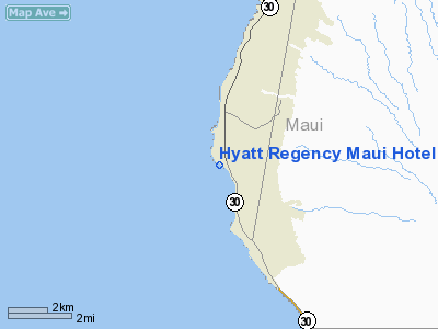
Hyatt Regency Maui Hotel Heliport |
|
|
Location
& QuickFacts
|
FAA
Information Effective: |
2007-07-05 |
|
Airport
Identifier: |
HI50 |
|
Airport
Status: |
Operational |
|
Longitude/Latitude: |
156-41-33.8580W/20-54-42.5780N
-156.692738/20.911827 (Estimated) |
|
Elevation: |
102 ft / 31.09 m (Estimated) |
|
Land: |
1 acres |
|
From
nearest city: |
2 nautical miles SW of Lahaina, HI |
|
Location: |
Maui County, HI |
|
Magnetic Variation: |
12E (1985) |
Owner
& Manager
|
Ownership: |
Privately
owned |
|
Owner: |
Km Hawaii Inc. |
|
Address: |
900 Fort St Mall, Suite 1350
Honolulu, HI 96813 |
|
Phone
number: |
808-521-9404 |
|
Manager: |
Marc W Ellin |
|
Address: |
200 Nohea Kai Drive
Lahaina, HI 96761
HYATT REGENCY MAUI |
|
Phone number: |
808-661-1234 |
Airport Operations and Facilities
|
Airport
Use: |
Private |
|
Wind
indicator: |
Yes |
|
Segmented Circle: |
No |
|
Control
Tower: |
No |
|
Landing
fee charge: |
No |
|
Sectional chart: |
Hawaiian Islands |
|
Region: |
AWP - Western-Pacific |
|
Boundary
ARTCC: |
ZHN - Honolulu Control Facility |
|
Tie-in
FSS: |
HNL - Honolulu |
|
FSS
on Airport: |
No |
|
FSS
Phone: |
808-836-8049 |
|
FSS
Toll Free: |
1-800-WX-BRIEF |
|
Runway Information
Helipad H1
|
Dimension: |
232
x 80 ft / 70.7 x 24.4 m |
|
Surface: |
CONC,
ROOFTOP. |
|
|
Runway H1 |
Runway |
|
Traffic
Pattern: |
Left |
Left |
|
Radio Navigation
Aids
|
ID |
Type |
Name |
Ch |
Freq |
Var |
Dist |
|
VYI |
NDB |
Valley Island |
|
327.00 |
11E |
14.2 nm |
|
LLD |
NDB |
Lanai |
|
353.00 |
11E |
17.9 nm |
|
OGG |
VORTAC |
Maui |
098X |
115.10 |
11E |
15.3 nm |
|
LNY |
VORTAC |
Lanai |
124X |
117.70 |
11E |
17.9 nm |
|
MKK |
VORTAC |
Molokai |
108X |
116.10 |
11E |
29.9 nm |
Remarks
- PROVIDED
HELIPORT IS CONSTRUCTED ACCORDING TO AC 150/5390-1B; VFR USE ONLY.
Hyatt Regency Maui Hotel Heliport
Address:
Maui County, HI
Tel:
808-521-9404,
808-661-1234
Images
and information placed above are from
http://www.airport-data.com/airport/HI50/
We
thank them for the data!
| General
Info |
| Country |
United
States |
| State |
HAWAII
|
| FAA ID |
HI50 |
| Latitude |
22-54-42.578N
|
| Longitude |
156-41-33.858W
|
| Elevation |
102 feet
|
| Near City |
LAHAINA
|
We don't guarantee the information is fresh and accurate. The data may
be wrong or outdated.
For more up-to-date information please refer to other sources.
|
|


