 |
|
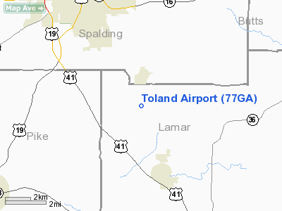
Location
& QuickFacts
|
FAA Information Effective: |
2007-07-05 |
|
Airport
Identifier: |
77GA |
|
Airport
Status: |
Operational |
|
Longitude/Latitude: |
084-12-48.7130W/33-09-50.4290N
-84.213531/33.164008 (Estimated) |
|
Elevation: |
800 ft / 243.84 m (Estimated) |
|
Land: |
0
acres |
|
From
nearest city: |
8 nautical miles SE of Milner, GA |
|
Location: |
Lamar County, GA |
|
Magnetic Variation: |
02W (1990) |
Owner
& Manager
|
Ownership: |
Privately owned |
|
Owner: |
Lance P. Toland |
|
Address: |
Route 1 Box 498
Milner, GA 30257 |
|
Phone number: |
404-229-1307 |
|
Address: |
|
Airport
Operations and Facilities
|
Airport Use: |
Private |
|
Segmented
Circle: |
No |
|
Control
Tower: |
No |
|
Sectional
chart: |
Atlanta |
|
Region: |
ASO - Southern |
|
Boundary
ARTCC: |
ZTL - Atlanta |
|
Tie-in
FSS: |
MCN - Macon |
|
FSS
on Airport: |
No |
|
FSS
Toll Free: |
1-800-WX-BRIEF |
|
Runway Information
Runway 13/31
|
Dimension: |
1800 x 100 ft / 548.6 x 30.5 m |
|
Surface: |
TURF, |
|
|
Runway 13 |
Runway 31 |
|
Traffic
Pattern: |
Left |
Left |
|
Radio Navigation
Aids
|
ID |
Type |
Name |
Ch |
Freq |
Var |
Dist |
|
JHH |
NDB |
Griffin |
|
412.00 |
04W |
1.4 nm |
|
OP |
NDB |
Yates |
|
339.00 |
03W |
14.8 nm |
|
FF |
NDB |
Pecat |
|
316.00 |
02W |
16.0 nm |
|
EQQ |
NDB |
Coweta County |
|
234.00 |
03W |
25.7 nm |
|
BR |
NDB |
Redan |
|
266.00 |
02W |
29.3 nm |
|
VOF |
NDB |
Alcovy |
|
370.00 |
03W |
35.4 nm |
|
PIM |
NDB |
Pine Mountain |
|
272.00 |
03W |
38.4 nm |
|
FT |
NDB |
Flanc |
|
344.00 |
02W |
41.8 nm |
|
JNM |
NDB |
Monroe |
|
392.00 |
03W |
42.2 nm |
|
BEP |
NDB |
Bay Creek |
|
350.00 |
03W |
48.1 nm |
|
IZS |
NDB |
Montezuma |
|
426.00 |
04W |
49.0 nm |
|
DOB |
TACAN |
Dobbins |
077X |
|
01W |
47.5 nm |
|
PDK |
VOR/DME |
Peachtree |
113X |
116.60 |
02W |
43.0 nm |
|
ATL |
VORTAC |
Atlanta |
116X |
116.90 |
00W |
30.1 nm |
|
MCN |
VORTAC |
Macon |
089X |
114.20 |
01E |
40.3 nm |
|
ATL |
VOT |
Atlanta Muni |
|
111.00 |
|
31.5 nm |
Remarks
- VFR
WX CONDS; PVT USE ONLY.
Toland Airport
Address:
Lamar County, GA
Tel:
404-229-1307
Images
and information placed above are from
http://www.airport-data.com/airport/77GA/
We
thank them for the data!
| General
Info |
| Country |
United
States |
| State |
GEORGIA
|
| FAA ID |
77GA
|
| Latitude |
33-09-50.429N
|
| Longitude |
084-12-48.713W
|
| Elevation |
800 feet
|
| Near City |
MILNER
|
We don't guarantee the information is fresh and accurate. The data may
be wrong or outdated.
For more up-to-date information please refer to other sources.
|
|


