 |
|
Location
& QuickFacts
|
FAA Information Effective: |
2007-07-05 |
|
Airport
Identifier: |
3GA7 |
|
Airport
Status: |
Operational |
|
Longitude/Latitude: |
081-46-06.0000W/33-09-45.0000N
-81.768333/33.162500 (Estimated) |
|
Elevation: |
195 ft / 59.44 m (Estimated) |
|
Land: |
25 acres |
|
From
nearest city: |
13 nautical miles NE of Waynesboro, GA |
|
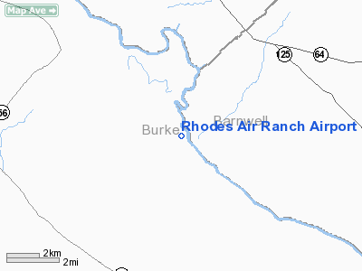
Location: |
Burke County, GA |
|
Magnetic Variation: |
05W (1995) |
Owner
& Manager
|
Ownership: |
Privately owned |
|
Owner: |
Douglas P. Rhodes |
|
Address: |
2227 Tubman Home Road
Augusta, GA 30906 |
|
Phone
number: |
706-793-9793 |
|
Manager: |
Douglas P. Rhodes |
|
Address: |
2227 Tubman Home Road
Augusta, GA 30906 |
|
Phone number: |
706-793-9793 |
Airport
Operations and Facilities
|
Airport Use: |
Private |
|
Segmented
Circle: |
No |
|
Control
Tower: |
No |
|
Sectional
chart: |
Atlanta |
|
Region: |
ASO - Southern |
|
Boundary
ARTCC: |
ZJX - Jacksonville |
|
Tie-in
FSS: |
MCN - Macon |
|
FSS
Toll Free: |
1-800-WX-BRIEF |
|
Runway Information
Runway 08/26
|
Dimension: |
1650 x 75 ft / 502.9 x 22.9 m |
|
Surface: |
TURF, |
|
|
Runway 08 |
Runway 26 |
|
Traffic
Pattern: |
Left |
Left |
|
Obstruction: |
50 ft pline, 200.0 ft from runway |
|
|
Radio Navigation
Aids
|
ID |
Type |
Name |
Ch |
Freq |
Var |
Dist |
|
BXG |
NDB |
Burke County |
|
356.00 |
04W |
13.9 nm |
|
LNH |
NDB |
Millen |
|
205.00 |
05W |
19.0 nm |
|
BKO |
NDB |
Barnwell |
|
392.00 |
06W |
20.5 nm |
|
EMR |
NDB |
Emory |
|
385.00 |
04W |
21.4 nm |
|
AIK |
NDB |
Aiken |
|
347.00 |
04W |
29.8 nm |
|
JYL |
NDB |
Sylvania |
|
245.00 |
04W |
32.1 nm |
|
HQU |
NDB |
Thomson-mcduffie |
|
333.00 |
04W |
43.5 nm |
|
BZ |
NDB |
Bullo |
|
407.00 |
05W |
45.2 nm |
|
EEX |
NDB |
Emanuel County |
|
309.00 |
04W |
45.6 nm |
|
OYI |
NDB |
Orangeburg |
|
226.00 |
05W |
46.0 nm |
|
AA |
NDB |
Cedar |
|
341.00 |
04W |
48.0 nm |
|
ALD |
VOR |
Allendale |
|
116.70 |
01W |
25.6 nm |
|
EDS |
VOR/DME |
Edisto |
051X |
111.40 |
05W |
49.0 nm |
|
IRQ |
VORTAC |
Colliers |
086X |
113.90 |
04W |
38.2 nm |
Remarks
- LAND
RY 26, DEPART RY 08, AND DEPARTURES AND LANDINGS BE LIMITED TO A 5 KNOT
TAIL WIND.
- PRVDD
VFR/PVT USE, COORDINATE TRAFFIC PATTERNS WITH HELIPORT GA51, NO LANDING
RY 08, NO DEPARTURE RY 26.
Based
Aircraft
|
Aircraft
based on field: |
1 |
|
Single
Engine Airplanes: |
1 |
Rhodes Air Ranch Airport
Address:
Burke County, GA
Tel:
706-793-9793
Images
and information placed above are from
http://www.airport-data.com/airport/3GA7/
We
thank them for the data!
| General
Info |
| Country |
United
States |
| State |
GEORGIA
|
| FAA ID |
3GA7
|
| Latitude |
33-09-45.000N
|
| Longitude |
081-46-06.000W
|
| Elevation |
195 feet
|
| Near City |
WAYNESBORO
|
We don't guarantee the information is fresh and accurate. The data may
be wrong or outdated.
For more up-to-date information please refer to other sources.
|
|


