 |
|
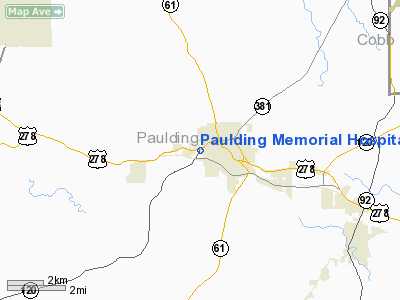
Paulding Memorial Hospital Heliport |
Location
& QuickFacts
|
FAA Information Effective: |
2007-07-05 |
|
Airport
Identifier: |
GA69 |
|
Airport
Status: |
Operational |
|
Longitude/Latitude: |
084-51-09.7850W/33-55-11.3700N
-84.852718/33.919825 (Estimated) |
|
Elevation: |
810 ft / 246.89 m (Estimated) |
|
Land: |
0
acres |
|
From
nearest city: |
0 nautical miles N of Dallas, GA |
|
Location: |
Paulding County, GA |
|
Magnetic Variation: |
01W (1985) |
Owner
& Manager
|
Ownership: |
Privately owned |
|
Owner: |
Paulding Mem Medical Center |
|
Address: |
600 West Memorial Dr.
Dallas, GA 30132 |
|
Phone
number: |
404-445-4411 |
|
Manager: |
Ray C. Brees, Administrator |
|
Address: |
600 West Memorial Dr.
Dallas, GA 30132 |
|
Phone number: |
404-445-4411 |
Airport
Operations and Facilities
|
Airport Use: |
Private
MEDICAL. |
|
Wind
indicator: |
Yes |
|
Segmented
Circle: |
No |
|
Control
Tower: |
No |
|
Sectional
chart: |
Atlanta |
|
Region: |
ASO - Southern |
|
Boundary
ARTCC: |
ZTL - Atlanta |
|
Tie-in
FSS: |
MCN - Macon |
|
FSS
on Airport: |
No |
|
FSS
Toll Free: |
1-800-WX-BRIEF |
|
Runway Information
Helipad H1
|
Dimension: |
19
x 23 ft / 5.8 x 7.0 m |
|
Surface: |
CONC, |
|
|
Runway H1 |
Runway |
|
Traffic
Pattern: |
Left |
Left |
|
Radio Navigation
Aids
|
ID |
Type |
Name |
Ch |
Freq |
Var |
Dist |
|
FT |
NDB |
Flanc |
|
344.00 |
02W |
14.3 nm |
|
EVZ |
NDB |
Cartersville |
|
308.00 |
04W |
16.8 nm |
|
GPQ |
NDB |
Carrollton |
|
278.00 |
02W |
25.4 nm |
|
DJD |
NDB |
Canton |
|
415.00 |
04W |
27.0 nm |
|
OYD |
NDB |
Floyd |
|
388.00 |
02W |
27.5 nm |
|
OUK |
NDB |
Calhoun |
|
323.00 |
02W |
29.2 nm |
|
BR |
NDB |
Redan |
|
266.00 |
02W |
31.7 nm |
|
JZP |
NDB |
Pickens County |
|
285.00 |
04W |
37.7 nm |
|
EQQ |
NDB |
Coweta County |
|
234.00 |
03W |
40.5 nm |
|
FF |
NDB |
Pecat |
|
316.00 |
02W |
41.5 nm |
|
DOB |
TACAN |
Dobbins |
077X |
|
01W |
17.2 nm |
|
PDK |
VOR/DME |
Peachtree |
113X |
116.60 |
02W |
27.8 nm |
|
RMG |
VORTAC |
Rome |
101X |
115.40 |
01E |
19.7 nm |
|
ATL |
VORTAC |
Atlanta |
116X |
116.90 |
00W |
27.2 nm |
|
ATL |
VOT |
Atlanta Muni |
|
111.00 |
|
26.5 nm |
Remarks
Paulding Memorial Hospital Heliport
Address:
Paulding County, GA
Tel:
404-445-4411
Images
and information placed above are from
http://www.airport-data.com/airport/GA69/
We
thank them for the data!
| General
Info |
| Country |
United
States |
| State |
GEORGIA
|
| FAA ID |
GA69
|
| Latitude |
33-55-11.370N
|
| Longitude |
084-51-09.785W
|
| Elevation |
810 feet
|
| Near City |
DALLAS
|
We don't guarantee the information is fresh and accurate. The data may
be wrong or outdated.
For more up-to-date information please refer to other sources.
|
|


