 |
|
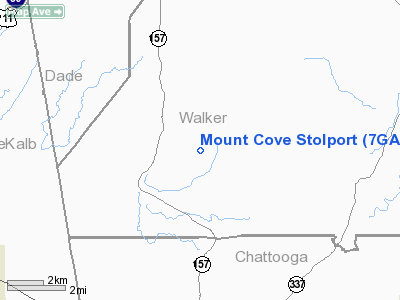
Location
& QuickFacts
|
FAA Information Effective: |
2007-07-05 |
|
Airport
Identifier: |
7GA5 |
|
Airport
Status: |
Operational |
|
Longitude/Latitude: |
085-26-49.8580W/34-37-56.2940N
-85.447183/34.632304 (Estimated) |
|
Elevation: |
1000 ft / 304.80 m (Estimated) |
|
Land: |
0
acres |
|
From
nearest city: |
9 nautical miles NW of Kensington, GA |
|
Location: |
Walker County, GA |
|
Magnetic Variation: |
01W (1985) |
Owner
& Manager
|
Ownership: |
Privately owned |
|
Owner: |
O. W. Rollins |
|
Address: |
Rt 1
Kensington, GA 30727 |
|
Manager: |
Charles H. Campbell |
|
Address: |
2170 Piedmont Rd
Atlanta, GA 30324 |
|
Phone number: |
404-455-7355 |
Airport
Operations and Facilities
|
Airport Use: |
Private |
|
Wind
indicator: |
Yes |
|
Segmented
Circle: |
No |
|
Control
Tower: |
No |
|
Landing
fee charge: |
No |
|
Sectional
chart: |
Atlanta |
|
Region: |
ASO - Southern |
|
Boundary
ARTCC: |
ZTL - Atlanta |
|
Tie-in
FSS: |
MCN - Macon |
|
FSS
on Airport: |
No |
|
FSS
Toll Free: |
1-800-WX-BRIEF |
|
Runway Information
Runway 06/24
|
Dimension: |
1300 x 35 ft / 396.2 x 10.7 m |
|
Surface: |
ASPH, |
|
|
Runway 06 |
Runway 24 |
|
Traffic
Pattern: |
Left |
Left |
|
Radio Navigation
Aids
|
ID |
Type |
Name |
Ch |
Freq |
Var |
Dist |
|
FTP |
NDB |
Fort Payne |
|
426.00 |
01W |
13.0 nm |
|
OYD |
NDB |
Floyd |
|
388.00 |
02W |
24.5 nm |
|
UWI |
NDB |
Whitfield |
|
400.00 |
03W |
26.5 nm |
|
APT |
NDB |
Jasper |
|
382.00 |
02W |
26.6 nm |
|
OUK |
NDB |
Calhoun |
|
323.00 |
02W |
29.3 nm |
|
CQN |
NDB |
Daisy |
|
341.00 |
02W |
35.1 nm |
|
EVZ |
NDB |
Cartersville |
|
308.00 |
04W |
39.7 nm |
|
UOS |
NDB |
Sewanee |
|
275.00 |
02E |
40.9 nm |
|
HDI |
NDB |
Hardwick |
|
369.00 |
01W |
41.2 nm |
|
ARF |
NDB |
Saratoga |
|
296.00 |
02W |
44.7 nm |
|
BGF |
NDB |
Boiling Fork |
|
263.00 |
02W |
44.9 nm |
|
GQO |
VORTAC |
Choo Choo |
105X |
115.80 |
01E |
24.5 nm |
|
RMG |
VORTAC |
Rome |
101X |
115.40 |
01E |
32.6 nm |
Remarks
Mount Cove Stolport
Address:
Walker County, GA
Tel:
404-455-7355
Images
and information placed above are from
http://www.airport-data.com/airport/7GA5/
We
thank them for the data!
| General
Info |
| Country |
United
States |
| State |
GEORGIA
|
| FAA ID |
7GA5
|
| Latitude |
34-37-56.294N
|
| Longitude |
085-26-49.858W
|
| Elevation |
1000 feet
|
| Near City |
KENSINGTON
|
We don't guarantee the information is fresh and accurate. The data may
be wrong or outdated.
For more up-to-date information please refer to other sources.
|
|


