 |
|
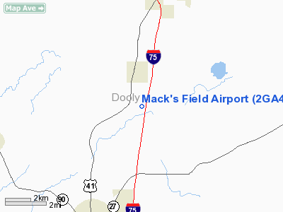
Location
& QuickFacts
|
FAA Information Effective: |
2007-07-05 |
|
Airport
Identifier: |
2GA4 |
|
Airport
Status: |
Operational |
|
Longitude/Latitude: |
083-45-20.6280W/32-10-16.5940N
-83.755730/32.171276 (Estimated) |
|
Elevation: |
400 ft / 121.92 m (Estimated) |
|
Land: |
0
acres |
|
From
nearest city: |
2 nautical miles SE of Pinehurst, GA |
|
Location: |
Dooly County, GA |
|
Magnetic Variation: |
02W (1985) |
Owner
& Manager
|
Ownership: |
Privately owned |
|
Owner: |
Mc Cleskey Farms |
|
Address: |
Route 1
Pinehurst, GA 31070 |
|
Phone number: |
912-645-3500 |
|
Manager: |
Rha Mc Cleskey, Jr. |
|
Address: |
Route 1
Pinehurst, GA 31070 |
|
Phone number: |
912-645-3410 |
Airport
Operations and Facilities
|
Airport Use: |
Private |
|
Wind
indicator: |
No |
|
Segmented
Circle: |
No |
|
Control
Tower: |
No |
|
Landing
fee charge: |
No |
|
Sectional
chart: |
Atlanta |
|
Region: |
ASO - Southern |
|
Boundary
ARTCC: |
ZTL - Atlanta |
|
Tie-in
FSS: |
MCN - Macon |
|
FSS
on Airport: |
No |
|
FSS
Toll Free: |
1-800-WX-BRIEF |
|
Runway Information
Runway 01/19
|
Dimension: |
3000 x 75 ft / 914.4 x 22.9 m |
|
Surface: |
TURF, |
|
|
Runway 01 |
Runway 19 |
|
Traffic
Pattern: |
Left |
Left |
|
Radio Navigation
Aids
|
ID |
Type |
Name |
Ch |
Freq |
Var |
Dist |
|
OHY |
NDB |
Coney |
|
400.00 |
02W |
11.7 nm |
|
BEP |
NDB |
Bay Creek |
|
350.00 |
03W |
17.2 nm |
|
IZS |
NDB |
Montezuma |
|
426.00 |
04W |
17.4 nm |
|
LKG |
NDB |
Lindbergh |
|
242.00 |
03W |
17.9 nm |
|
EZM |
NDB |
Eastman |
|
366.00 |
04W |
30.7 nm |
|
SUR |
NDB |
Fitzgerald |
|
362.00 |
03W |
41.1 nm |
|
DB |
NDB |
Creke |
|
251.00 |
04W |
42.2 nm |
|
MQW |
NDB |
Mc Rae |
|
280.00 |
03W |
44.6 nm |
|
OP |
NDB |
Yates |
|
339.00 |
03W |
50.0 nm |
|
IFM |
VOR |
Tift Myers |
|
112.50 |
01W |
46.7 nm |
|
VNA |
VORTAC |
Vienna |
112X |
116.50 |
01E |
13.4 nm |
|
MCN |
VORTAC |
Macon |
089X |
114.20 |
01E |
31.7 nm |
|
PZD |
VORTAC |
Pecan |
108X |
116.10 |
02W |
41.4 nm |
Remarks
Mack's Field Airport
Address:
Dooly County, GA
Tel:
912-645-3500, 912-645-3410
Images
and information placed above are from
http://www.airport-data.com/airport/2GA4/
We
thank them for the data!
| General
Info |
| Country |
United
States |
| State |
GEORGIA
|
| FAA ID |
2GA4
|
| Latitude |
32-10-16.594N
|
| Longitude |
083-45-20.628W
|
| Elevation |
400 feet
|
| Near City |
PINEHURST
|
We don't guarantee the information is fresh and accurate. The data may
be wrong or outdated.
For more up-to-date information please refer to other sources.
|
|


