 |
|
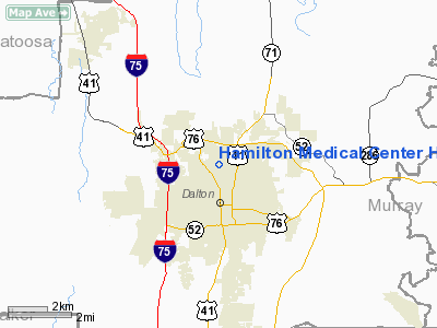
Hamilton Medical Center Heliport |
Location
& QuickFacts
|
FAA Information Effective: |
2007-07-05 |
|
Airport
Identifier: |
GA70 |
|
Airport
Status: |
Operational |
|
Longitude/Latitude: |
084-58-21.8020W/34-47-20.2860N
-84.972723/34.788968 (Estimated) |
|
Elevation: |
727 ft / 221.59 m (Estimated) |
|
Land: |
0
acres |
|
From
nearest city: |
0 nautical miles N of Dalton, GA |
|
Location: |
Whitfield County, GA |
|
Magnetic Variation: |
01W (1985) |
Owner
& Manager
|
Ownership: |
Publicly owned |
|
Owner: |
Hamilton Medical Center |
|
Address: |
P.o. Box 1168
Dalton, GA 30720 |
|
Phone
number: |
706-278-2105 |
|
Manager: |
Frank M. Hogshead |
|
Address: |
P.o. Box 1168
Dalton, GA 30720 |
|
Phone number: |
706-278-2105 |
Airport
Operations and Facilities
|
Airport Use: |
Private
MEDICAL. |
|
Wind
indicator: |
Yes |
|
Segmented
Circle: |
No |
|
Control
Tower: |
No |
|
Lighting
Schedule: |
PHONE REQ
FOR PERIMETER LGTS CALL 706-278-2105. |
|
Sectional
chart: |
Atlanta |
|
Region: |
ASO - Southern |
|
Boundary
ARTCC: |
ZTL - Atlanta |
|
Tie-in
FSS: |
MCN - Macon |
|
FSS
on Airport: |
No |
|
FSS
Toll Free: |
1-800-WX-BRIEF |
|
Runway Information
Helipad H1
|
Dimension: |
40 x 40 ft / 12.2 x 12.2 m |
|
Surface: |
CONC, |
|
|
Runway H1 |
Runway |
|
Traffic
Pattern: |
Left |
Left |
|
Radio Navigation
Aids
|
ID |
Type |
Name |
Ch |
Freq |
Var |
Dist |
|
UWI |
NDB |
Whitfield |
|
400.00 |
03W |
1.3 nm |
|
HDI |
NDB |
Hardwick |
|
369.00 |
01W |
22.2 nm |
|
OUK |
NDB |
Calhoun |
|
323.00 |
02W |
23.4 nm |
|
CQN |
NDB |
Daisy |
|
341.00 |
02W |
24.4 nm |
|
OYD |
NDB |
Floyd |
|
388.00 |
02W |
30.9 nm |
|
JZP |
NDB |
Pickens County |
|
285.00 |
04W |
32.3 nm |
|
APT |
NDB |
Jasper |
|
382.00 |
02W |
34.2 nm |
|
EVZ |
NDB |
Cartersville |
|
308.00 |
04W |
36.0 nm |
|
FTP |
NDB |
Fort Payne |
|
426.00 |
01W |
38.2 nm |
|
DJD |
NDB |
Canton |
|
415.00 |
04W |
40.2 nm |
|
MMI |
NDB |
Mc Minn County |
|
242.00 |
03W |
41.6 nm |
|
DTE |
NDB |
Mark Anton |
|
394.00 |
02W |
41.7 nm |
|
GQO |
VORTAC |
Choo Choo |
105X |
115.80 |
01E |
13.7 nm |
|
RMG |
VORTAC |
Rome |
101X |
115.40 |
01E |
38.3 nm |
Remarks
- PRVDD
VFR/PVT USE; ACPH/DEP ROUTES FROM 280 DEGS TO 320 DEGS AND FROM 150
DEGS TO 180 DEGS; TAKEOFF/LANDING AREA MARKED; AND A WIND INDICATOR
MAINTAINED.
Hamilton Medical Center Heliport
Address:
Whitfield County, GA
Tel:
706-278-2105
Images
and information placed above are from
http://www.airport-data.com/airport/GA70/
We
thank them for the data!
| General
Info |
| Country |
United
States |
| State |
GEORGIA
|
| FAA ID |
GA70
|
| Latitude |
34-47-20.286N
|
| Longitude |
084-58-21.802W
|
| Elevation |
727 feet
|
| Near City |
DALTON
|
We don't guarantee the information is fresh and accurate. The data may
be wrong or outdated.
For more up-to-date information please refer to other sources.
|
|


