 |
|
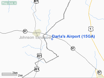
Location
& QuickFacts
|
FAA Information Effective: |
2007-01-18 |
|
Airport
Identifier: |
15GA |
|
Airport
Status: |
Operational |
|
Longitude/Latitude: |
082-28-44.4670W/32-40-48.5820N
-82.479019/32.680162 (Estimated) |
|
Elevation: |
328 ft / 99.97 m (Estimated) |
|
Land: |
58
acres |
|
From
nearest city: |
2 nautical miles E of Kite, GA |
|
Location: |
Emanuel County, GA |
|
Magnetic Variation: |
03W (1985) |
Owner
& Manager
|
Ownership: |
Privately owned |
|
Owner: |
Dick Plowman |
|
Address: |
Rt 2 Box 108
Kite, GA 31049 |
|
Phone number: |
912-469-5265 |
|
Manager: |
Dick Plowman |
|
Address: |
Rt 2 Box 108
Kite, GA 31049 |
|
Phone number: |
912-469-5265 |
Airport
Operations and Facilities
|
Airport Use: |
Private |
|
Wind
indicator: |
Yes |
|
Segmented
Circle: |
No |
|
Control
Tower: |
No |
|
Lighting
Schedule: |
RDO-CTL
ACTVT NSTD LIRL RY 12/30 - 122.7. |
|
Landing fee charge: |
No |
|
Sectional chart: |
Atlanta |
|
Region: |
ASO - Southern |
|
Boundary ARTCC: |
ZTL - Atlanta |
|
Tie-in FSS: |
MCN - Macon |
|
FSS on Airport: |
No |
|
FSS Phone: |
478-784-1155 |
|
FSS Toll Free: |
1-800-WX-BRIEF |
Airport
Services
|
Runway Information
Runway 12/30
|
Dimension: |
2500 x 75 ft / 762.0 x 22.9 m |
|
Surface: |
TURF, |
|
Edge
Lights: |
Non-standard lighting system
NSTD LIRL. |
|
|
Runway 12 |
Runway 30 |
|
Traffic
Pattern: |
Left |
Left |
|
Radio Navigation
Aids
|
ID |
Type |
Name |
Ch |
Freq |
Var |
Dist |
|
EEX |
NDB |
Emanuel County |
|
309.00 |
04W |
1.6 nm |
|
MHP |
NDB |
Metter |
|
432.00 |
03W |
27.3 nm |
|
LNH |
NDB |
Millen |
|
205.00 |
05W |
28.9 nm |
|
UQN |
NDB |
Onyun |
|
372.00 |
04W |
29.0 nm |
|
DB |
NDB |
Creke |
|
251.00 |
04W |
29.4 nm |
|
HIT |
NDB |
Kaolin |
|
360.00 |
05W |
30.8 nm |
|
BXG |
NDB |
Burke County |
|
356.00 |
04W |
32.4 nm |
|
MQW |
NDB |
Mc Rae |
|
280.00 |
03W |
40.8 nm |
|
RVJ |
NDB |
Prison |
|
424.00 |
03W |
40.9 nm |
|
CWV |
NDB |
Claxton |
|
395.50 |
04W |
42.0 nm |
|
BZ |
NDB |
Bullo |
|
407.00 |
05W |
44.3 nm |
|
UMB |
NDB |
Culvr |
|
380.00 |
04W |
44.5 nm |
|
JYL |
NDB |
Sylvania |
|
245.00 |
04W |
44.8 nm |
|
EZM |
NDB |
Eastman |
|
366.00 |
04W |
47.4 nm |
|
AZE |
NDB |
Hazlehurst |
|
414.00 |
03W |
48.8 nm |
|
DBN |
VORTAC |
Dublin |
078X |
113.10 |
01W |
19.3 nm |
Remarks
Based
Aircraft
|
Aircraft
based on field: |
7 |
|
Single
Engine Airplanes: |
5 |
|
Multi
Engine Airplanes: |
2 |
Darla's Airport
Address:
Emanuel County, GA
Tel:
912-469-5265
Images
and information placed above are from
http://www.airport-data.com/airport/15GA/
We
thank them for the data!
| General
Info |
| Country |
United
States |
| State |
GEORGIA
|
| FAA ID |
15GA
|
| Latitude |
32-40-48.582N
|
| Longitude |
082-28-44.467W
|
| Elevation |
328 feet
|
| Near City |
KITE
|
We don't guarantee the information is fresh and accurate. The data may
be wrong or outdated.
For more up-to-date information please refer to other sources.
|
|


