|
|
|
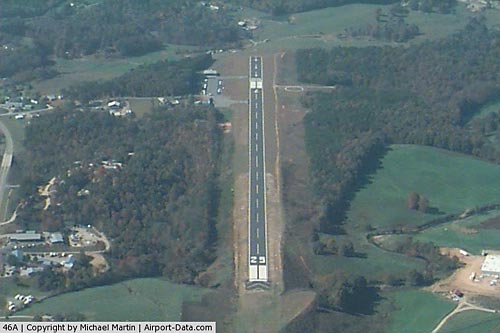 |
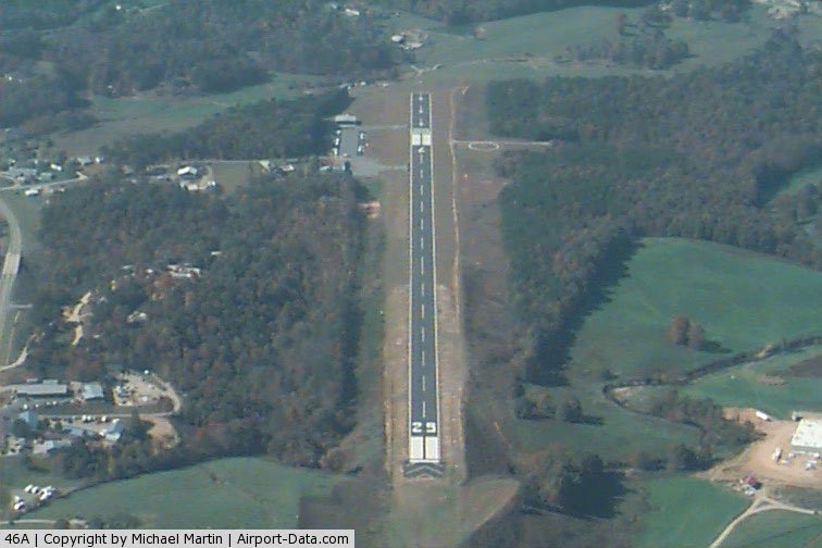
(Click on the photo to enlarge) |
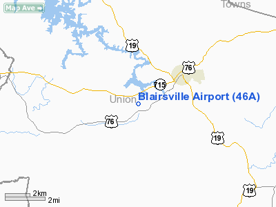
Location
& QuickFacts
|
FAA Information Effective: |
2007-01-18 |
|
Airport
Identifier: |
46A |
|
Airport
Status: |
Operational |
|
Longitude/Latitude: |
083-59-48.6780W/34-51-18.3140N
-83.996855/34.855087 (Estimated) |
|
Elevation: |
1911 ft / 582.47 m (Estimated) |
|
Land: |
159 acres |
|
From
nearest city: |
3 nautical miles SW of Blairsville, GA |
|
Location: |
Union County, GA |
|
Magnetic Variation: |
03W (1985) |
Owner
& Manager
|
Ownership: |
Publicly owned |
|
Owner: |
City Of Blairsville |
|
Address: |
P.o. Box 307, 33 Blueridge Street
Blairsville, GA 30512 |
|
Phone number: |
706-745-2000 |
|
Manager: |
Glen Miller |
|
Address: |
2223 Airport Drive
Blairsville, GA 30512 |
|
Phone number: |
706-745-4307 |
Airport
Operations and Facilities
|
Airport Use: |
Open to public |
|
Wind
indicator: |
Yes |
|
Segmented
Circle: |
Yes |
|
Control
Tower: |
No |
|
Lighting
Schedule: |
DUSK-DAWN |
|
Beacon
Color: |
Clear-Green (lighted land airport) |
|
Landing
fee charge: |
No |
|
Sectional
chart: |
Atlanta |
|
Region: |
ASO - Southern |
|
Boundary
ARTCC: |
ZTL - Atlanta |
|
Tie-in
FSS: |
MCN - Macon |
|
FSS
on Airport: |
No |
|
FSS
Phone: |
478-784-1155 |
|
FSS
Toll Free: |
1-800-WX-BRIEF |
|
NOTAMs
Facility: |
MCN (NOTAM-d service avaliable) |
|
Federal Agreements: |
NGY |
Airport
Communications
|
CTAF: |
122.800 |
|
Unicom: |
122.800 |
Airport
Services
|
Fuel available: |
100LL |
|
Airframe Repair: |
NONE |
|
Power Plant Repair: |
NONE |
|
Bottled
Oxygen: |
NONE |
|
Bulk
Oxygen: |
NONE |
|
Runway Information
Runway 08/26
|
Dimension: |
5006 x 100 ft / 1525.8 x 30.5 m |
|
Surface: |
ASPH, Good Condition |
|
Weight
Limit: |
Single wheel: 12500 lbs. |
|
Edge
Lights: |
Medium
MIRL OTS INDEFLY. |
|
|
Runway 08 |
Runway 26 |
|
Longitude: |
084-00-19.1200W |
083-59-21.6200W |
|
Latitude: |
34-51-08.7700N |
34-51-23.1000N |
|
Elevation: |
1905.00 ft |
1856.00 ft |
|
Traffic
Pattern: |
Left |
Left |
|
Markings: |
Non-precision instrument, Fair Condition |
Non-precision instrument, Fair Condition |
|
Displaced
threshold: |
1025.00 ft |
0.00 ft |
|
Obstruction: |
140 ft trees, 2160.0 ft from runway, 280 ft
right of centerline, 14:1 slope to clear
TREE 125' RIGHT.
RWY 08 APCH RATIO 22:1 TO DSPLCD THLD; 99 FT TREES 2178 FT
FROM DSPLCD THLD 300 FT RIGHT. |
98 ft trees, 2160.0 ft from runway, 20:1 slope
to clear
TREES ACROSS APCH. |
|
Radio Navigation
Aids
|
ID |
Type |
Name |
Ch |
Freq |
Var |
Dist |
|
TTQ |
NDB |
Tomotla |
|
335.00 |
01W |
15.8 nm |
|
AJR |
NDB |
Habersham |
|
347.00 |
03W |
30.7 nm |
|
JZP |
NDB |
Pickens County |
|
285.00 |
04W |
33.1 nm |
|
FKV |
NDB |
Flowery Branch |
|
365.00 |
03W |
39.4 nm |
|
MMI |
NDB |
Mc Minn County |
|
242.00 |
03W |
42.7 nm |
|
DJD |
NDB |
Canton |
|
415.00 |
04W |
43.6 nm |
|
MNV |
NDB |
Madisonville |
|
361.00 |
04W |
45.6 nm |
|
UWI |
NDB |
Whitfield |
|
400.00 |
03W |
47.0 nm |
|
HDI |
NDB |
Hardwick |
|
369.00 |
01W |
48.2 nm |
|
HRS |
VORTAC |
Harris |
035X |
109.80 |
00E |
6.6 nm |
|
ODF |
VORTAC |
Foothills |
081X |
113.40 |
00E |
35.8 nm |
Remarks
- 100
FT BLAST PAD RY 26.
- TWY
LGTS OTS INDEFLY.
Based
Aircraft
|
Aircraft
based on field: |
29 |
|
Single
Engine Airplanes: |
27 |
|
Jet Engine
Airplanes: |
2 |
Operational Statistics
Time Period: 2004-03-16 - 2005-03-15
|
Aircraft
Operations: |
104/Week |
|
General
Aviation Local: |
44.4% |
|
General
Aviation Itinerant: |
55.6% |
Blairsville Airport
Address:
Union County, GA
Tel:
706-745-2000, 706-745-4307
Images
and information placed above are from
http://www.airport-data.com/airport/46A/
We
thank them for the data!
| General
Info |
| Country |
United
States |
| State |
GEORGIA
|
| FAA ID |
46A
|
| Latitude |
34-51-18.314N
|
| Longitude |
083-59-48.678W
|
| Elevation |
1911 feet
|
| Near City |
BLAIRSVILLE
|
We don't guarantee the information is fresh and accurate. The data may
be wrong or outdated.
For more up-to-date information please refer to other sources.
|
|