 |
|
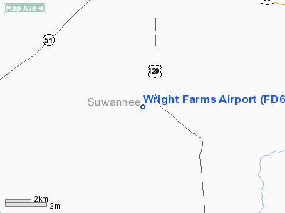
Location
& QuickFacts
|
FAA Information Effective: |
2007-01-18 |
|
Airport
Identifier: |
FD61 |
|
Airport
Status: |
Operational |
|
Longitude/Latitude: |
082-59-52.4690W/30-10-35.8110N
-82.997908/30.176614 (Estimated) |
|
Elevation: |
104 ft / 31.70 m (Estimated) |
|
Land: |
40
acres |
|
From
nearest city: |
6 nautical miles S of Live Oak, FL |
|
Location: |
Suwannee County, FL |
|
Magnetic Variation: |
02W (1986) |
Owner
& Manager
|
Ownership: |
Privately owned |
|
Owner: |
Lester W. & Ruth A. Wright |
|
Address: |
641 Ne 7th Street
Pompano Beach, FL 33060 |
|
Phone number: |
305-943-1445 |
|
Address: |
|
Airport
Operations and Facilities
|
Airport Use: |
Private |
|
Wind
indicator: |
Yes |
|
Segmented
Circle: |
No |
|
Control
Tower: |
No |
|
Landing
fee charge: |
No |
|
Sectional
chart: |
Jacksonville |
|
Region: |
ASO - Southern |
|
Boundary
ARTCC: |
ZJX - Jacksonville |
|
Tie-in
FSS: |
GNV - Gainesville |
|
FSS
on Airport: |
No |
|
FSS
Phone: |
850-377-3291 |
|
FSS
Toll Free: |
1-800-WX-BRIEF |
|
Runway Information
Runway 18/36
|
Dimension: |
2600 x 100 ft / 792.5 x 30.5 m |
|
Surface: |
TURF, |
|
|
Runway 18 |
Runway 36 |
|
Traffic
Pattern: |
Left |
Left |
|
Obstruction: |
|
30 ft pline, 600.0 ft from runway |
|
Radio Navigation
Aids
|
ID |
Type |
Name |
Ch |
Freq |
Var |
Dist |
|
LCQ |
NDB |
Lake City |
|
204.00 |
03W |
21.8 nm |
|
FPY |
NDB |
Foley |
|
254.00 |
03W |
32.5 nm |
|
OTK |
VOR/DME |
Valdosta |
095X |
114.80 |
02W |
39.1 nm |
|
TAY |
VORTAC |
Taylor |
076X |
112.90 |
03W |
30.4 nm |
|
CTY |
VORTAC |
Cross City |
057X |
112.00 |
02W |
34.8 nm |
|
GEF |
VORTAC |
Greenville |
027X |
109.00 |
01E |
46.5 nm |
|
GNV |
VORTAC |
Gators |
109X |
116.20 |
04W |
47.7 nm |
|
VAD |
VORTAC |
Moody |
080X |
113.30 |
03W |
48.2 nm |
Remarks
Based
Aircraft
|
Aircraft
based on field: |
1 |
|
Single
Engine Airplanes: |
1 |
Wright Farms Airport
Address:
Suwannee County, FL
Tel:
305-943-1445
Images
and information placed above are from
http://www.airport-data.com/airport/FD61/
We
thank them for the data!
| General
Info |
| Country |
United
States |
| State |
FLORIDA
|
| FAA ID |
FD61
|
| Latitude |
30-10-35.811N
|
| Longitude |
082-59-52.469W
|
| Elevation |
104 feet
|
| Near City |
LIVE OAK
|
We don't guarantee the information is fresh and accurate. The data may
be wrong or outdated.
For more up-to-date information please refer to other sources.
|
|


