Watson Flight Strip Airport |
Location
& QuickFacts
|
FAA Information Effective: |
2007-01-18 |
|
Airport
Identifier: |
FL33 |
|
Airport
Status: |
Operational |
|
Longitude/Latitude: |
082-49-34.4360W/29-40-05.8540N
-82.826232/29.668293 (Estimated) |
|
Elevation: |
55
ft / 16.76 m (Estimated) |
|
Land: |
8
acres |
|
From
nearest city: |
3 nautical miles N of Trenton, FL |
|
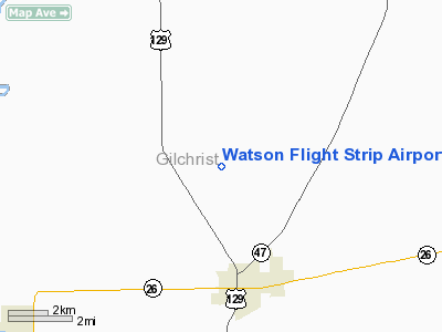
Location: |
Gilchrist County, FL |
|
Magnetic Variation: |
02W (1985) |
Owner
& Manager
|
Ownership: |
Privately owned |
|
Owner: |
Harold G. Watson |
|
Address: |
4014 Roberts Ave
Tallahassee, FL 32302 |
|
Phone number: |
904-576-1430 |
|
Address: |
|
Airport
Operations and Facilities
|
Airport Use: |
Private |
|
Wind indicator: |
No |
|
Segmented Circle: |
No |
|
Control Tower: |
No |
|
Landing fee charge: |
No |
|
Sectional chart: |
Jacksonville |
|
Region: |
ASO - Southern |
|
Boundary ARTCC: |
ZJX - Jacksonville |
|
Tie-in FSS: |
GNV - Gainesville |
|
FSS on Airport: |
No |
|
FSS Phone: |
850-377-3291 |
|
FSS Toll Free: |
1-800-WX-BRIEF |
Airport
Services
|
Airframe Repair: |
NONE |
|
Power Plant Repair: |
NONE |
|
Runway Information
Runway 09/27
|
Dimension: |
1950
x 85 ft / 594.4 x 25.9 m
RWY WIDTH VARIES FM 85-150'. |
|
Surface: |
TURF, |
|
|
Runway 09 |
Runway 27 |
|
Traffic
Pattern: |
Left |
Left |
|
Radio Navigation
Aids
|
ID |
Type |
Name |
Ch |
Freq |
Var |
Dist |
|
LCQ |
NDB |
Lake City |
|
204.00 |
03W |
33.6 nm |
|
GN |
NDB |
Wynds |
|
269.00 |
04W |
34.2 nm |
|
FPY |
NDB |
Foley |
|
254.00 |
03W |
44.3 nm |
|
CTY |
VORTAC |
Cross City |
057X |
112.00 |
02W |
12.3 nm |
|
GNV |
VORTAC |
Gators |
109X |
116.20 |
04W |
28.9 nm |
|
OCF |
VORTAC |
Ocala |
084X |
113.70 |
00E |
43.1 nm |
Remarks
Based
Aircraft
|
Aircraft
based on field: |
1 |
|
Single
Engine Airplanes: |
1 |
Watson Flight Strip Airport
Address:
Gilchrist County, FL
Tel:
904-576-1430
Images
and information placed above are from
http://www.airport-data.com/airport/FL33/
We
thank them for the data!
| General
Info |
| Country |
United
States |
| State |
FLORIDA
|
| FAA ID |
FL33
|
| Latitude |
29-40-05.854N
|
| Longitude |
082-49-34.436W
|
| Elevation |
55 feet
|
| Near City |
TRENTON
|
We don't guarantee the information is fresh and accurate. The data may
be wrong or outdated.
For more up-to-date information please refer to other sources.
|


