 |
|
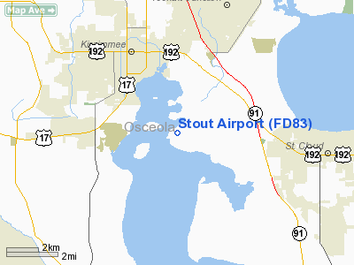
Location
& QuickFacts
|
FAA Information Effective: |
2007-01-18 |
|
Airport
Identifier: |
FD83 |
|
Airport
Status: |
Operational |
|
Longitude/Latitude: |
081-23-02.2540W/28-15-31.0440N
-81.383959/28.258623 (Estimated) |
|
Elevation: |
65
ft / 19.81 m (Estimated) |
|
Land: |
0
acres |
|
From
nearest city: |
2 nautical miles SE of Kissimmee, FL |
|
Location: |
Osceola County, FL |
|
Magnetic Variation: |
03W (1985) |
Owner
& Manager
|
Ownership: |
Privately owned |
|
Owner: |
Richard Stout |
|
Address: |
1575 Pine Asland Rd
Kissimmee, FL 32741 |
|
Phone number: |
407-846-4628 |
|
Address: |
|
Airport
Operations and Facilities
|
Airport Use: |
Private |
|
Segmented
Circle: |
No |
|
Control
Tower: |
No |
|
Sectional
chart: |
Jacksonville |
|
Region: |
ASO - Southern |
|
Boundary
ARTCC: |
ZMA - Miami |
|
Tie-in
FSS: |
PIE - Saint Petersburg |
|
FSS
Toll Free: |
1-800-WX-BRIEF |
|
Runway Information
Runway 15/33
|
Dimension: |
1900 x 100 ft / 579.1 x 30.5 m |
|
Surface: |
TURF, Good Condition |
|
|
Runway 15 |
Runway 33 |
|
Traffic
Pattern: |
Left |
Left |
|
Radio Navigation
Aids
|
ID |
Type |
Name |
Ch |
Freq |
Var |
Dist |
|
ISM |
NDB |
Kissimmee |
|
329.00 |
05W |
3.2 nm |
|
SFB |
NDB |
Sanford |
|
408.00 |
05W |
32.5 nm |
|
GGL |
NDB |
Geiger Lake |
|
375.00 |
05W |
36.1 nm |
|
COI |
NDB |
Merritt Island |
|
247.00 |
05W |
37.1 nm |
|
SQT |
NDB |
Satellite |
|
257.00 |
03W |
37.4 nm |
|
LEE |
NDB |
Leesburg |
|
335.00 |
04W |
40.4 nm |
|
RHZ |
NDB |
Zephyrhills |
|
253.00 |
03W |
41.0 nm |
|
PCM |
NDB |
Plant City |
|
346.00 |
02W |
43.8 nm |
|
DED |
NDB |
Deland/dcmsnd |
|
201.00 |
05W |
49.0 nm |
|
COF |
TACAN |
Patrick |
097X |
|
04W |
40.9 nm |
|
TTS |
TACAN |
Kennedy Space Center |
059Y |
|
00E |
42.6 nm |
|
MLB |
VOR/DME |
Melbourne |
037X |
110.00 |
02W |
40.7 nm |
|
ORL |
VORTAC |
Orlando |
059X |
112.20 |
00E |
17.3 nm |
|
LAL |
VORTAC |
Lakeland |
107X |
116.00 |
01E |
37.2 nm |
Remarks
Based
Aircraft
|
Aircraft
based on field: |
7 |
|
Single
Engine Airplanes: |
5 |
|
Multi
Engine Airplanes: |
2 |
Stout Airport
Address:
Osceola County, FL
Tel:
407-846-4628
Images
and information placed above are from
http://www.airport-data.com/airport/FD83/
We
thank them for the data!
| General
Info |
| Country |
United
States |
| State |
FLORIDA
|
| FAA ID |
FD83
|
| Latitude |
28-15-31.044N
|
| Longitude |
081-23-02.254W
|
| Elevation |
65 feet
|
| Near City |
KISSIMMEE
|
We don't guarantee the information is fresh and accurate. The data may
be wrong or outdated.
For more up-to-date information please refer to other sources.
|
|


