 |
|
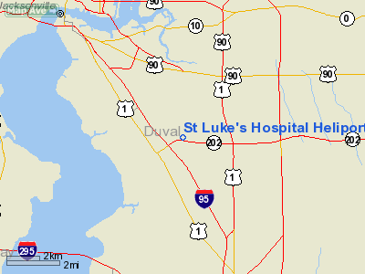
St. Luke's Hospital Heliport |
Location
& QuickFacts
|
FAA Information Effective: |
2007-01-18 |
|
Airport
Identifier: |
FD58 |
|
Airport
Status: |
Operational |
|
Longitude/Latitude: |
081-35-02.3280W/30-15-10.8660N
-81.583980/30.253018 (Estimated) |
|
Elevation: |
25
ft / 7.62 m (Estimated) |
|
Land: |
28
acres |
|
From
nearest city: |
0 nautical miles N of Jacksonville, FL |
|
Location: |
Duval County, FL |
|
Magnetic Variation: |
03W (1986) |
Owner
& Manager
|
Ownership: |
Privately owned |
|
Owner: |
St. Luke's Hospital |
|
Address: |
4201 Belfort Rd.
Jacksonville, FL 32216 |
|
Phone number: |
904-296-3700 |
|
Manager: |
Gary P. Pezall |
|
Address: |
4201 Belfort Rd.
Jacksonville, FL 32216 |
|
Phone number: |
904-296-3749 |
Airport
Operations and Facilities
|
Airport Use: |
Private |
|
Wind
indicator: |
Yes |
|
Segmented
Circle: |
No |
|
Control
Tower: |
No |
|
Landing
fee charge: |
No |
|
Sectional
chart: |
Jacksonville |
|
Region: |
ASO - Southern |
|
Boundary
ARTCC: |
ZJX - Jacksonville |
|
Tie-in
FSS: |
GNV - Gainesville |
|
FSS
on Airport: |
No |
|
FSS
Phone: |
850-377-3291 |
|
FSS
Toll Free: |
1-800-WX-BRIEF |
|
Runway Information
Helipad H1
|
Dimension: |
60 x 60 ft / 18.3 x 18.3 m |
|
Surface: |
CONC, |
|
|
Runway H1 |
Runway |
|
Traffic
Pattern: |
Left |
Left |
|
Radio Navigation
Aids
|
ID |
Type |
Name |
Ch |
Freq |
Var |
Dist |
|
EYA |
NDB |
Eastport |
|
357.00 |
03W |
10.3 nm |
|
HEG |
NDB |
Herlong |
|
332.00 |
02W |
11.8 nm |
|
JA |
NDB |
Dinns |
|
344.00 |
03W |
17.0 nm |
|
IAK |
NDB |
Palatka |
|
243.00 |
05W |
38.0 nm |
|
GN |
NDB |
Wynds |
|
269.00 |
04W |
46.5 nm |
|
NIP |
TACAN |
Jacksonville |
19X |
|
04W |
4.9 nm |
|
NRB |
TACAN |
Mayport |
051X |
|
03W |
11.7 nm |
|
NZC |
TACAN |
Cecil/dcmsnd |
088X |
|
04W |
15.0 nm |
|
VQQ |
VOR |
Cecil |
|
117.90 |
03W |
16.1 nm |
|
SGJ |
VOR/DME |
St Augustine |
031X |
109.40 |
06W |
22.2 nm |
|
CRG |
VORTAC |
Craig |
092X |
114.50 |
03W |
6.4 nm |
|
SSI |
VORTAC |
Brunswick |
035X |
109.80 |
04W |
48.5 nm |
|
GNV |
VORTAC |
Gators |
109X |
116.20 |
04W |
49.2 nm |
|
JAX |
VOT |
Jacksonville Intl |
|
111.00 |
|
15.4 nm |
Remarks
St Luke's Hospital Heliport
Address:
Duval County, FL
Tel:
904-296-3700, 904-296-3749
Images
and information placed above are from
http://www.airport-data.com/airport/FD58/
We
thank them for the data!
| General
Info |
| Country |
United
States |
| State |
FLORIDA
|
| FAA ID |
FD58
|
| Latitude |
30-15-10.866N
|
| Longitude |
081-35-02.328W
|
| Elevation |
25 feet
|
| Near City |
JACKSONVILLE
|
We don't guarantee the information is fresh and accurate. The data may
be wrong or outdated.
For more up-to-date information please refer to other sources.
|
|


